
Magnitude |
:2.5 |
| Date & Time (UTC) | 2009-04-14 23:33:24.6 |
| Date & Time (Local) | 1388/1/26 04:03:24.6 |
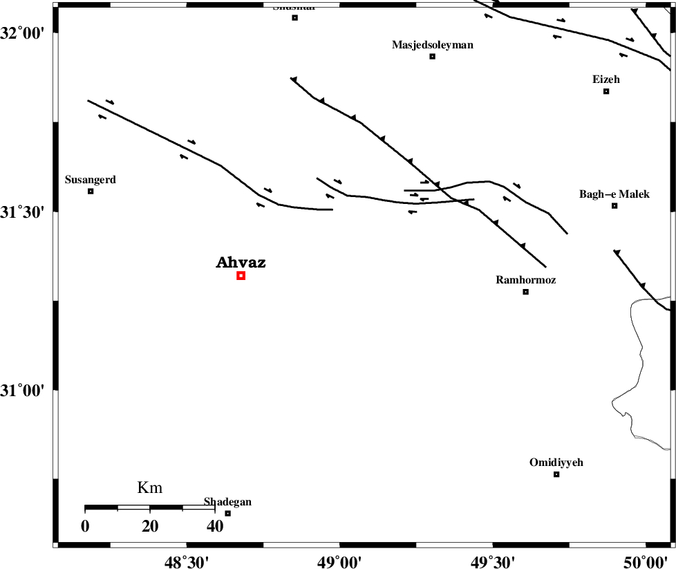
| Location | Lat:31.32 Lon: 49.08 |
| Region | 38 km East of Ahvaz, Khoozestan Province |
Nearest Cities |
|
| 18 km North East of Mashrehat, Khoozestan Province | |
| 27 km South East of Veys, Khoozestan Province | |
| 33 km North West of Marbacheh, Khoozestan Province | |
| 34 km South East of Talieh, Khoozestan Province | |
| 35 km South East of Mollasani, Khoozestan Province | |
| Depth | 14 km |
| Agency | |
Faults within 150 km: |
|
| AGHAJARI_F (Length: 88 km) , Distance to epicenter: 20 km | |
| AHVAZ_F (Length: 99 km) , Distance to epicenter: 20 km | |
| DEZFUL_EMBAYMENT (Length: 228 km) , Distance to epicenter: 57 km | |
| Number of Phases | 4 |
| RMS | 0.1 |
| Number of Stations | 3 |
| Error in Latitude | >7.6 km |
| Error in Longitude | 14.3 km |
| Error in Depth | 11.4 km |
Download waveform in seisan format
to download seisan software Click here
to access information about IIEES stations Click here
Amplitude | ||||||||
| UID | Agency | Station | Component | Amplitude | Period | Arrival Time | Proccessing Time | Signal Clip |
| 52435 | IIEES | SHGR | E | 139.8 | 0.38 | 2009-04-14 23:33:51 | 2009-07-13 01:52:00 | n |
| 52436 | IIEES | SHGR | N | 221.1 | 0.44 | 2009-04-14 23:33:51 | 2009-07-13 01:52:00 | n |
| 52437 | IIEES | KHMZ | E | 20.7 | 0.38 | 2009-04-14 23:34:40 | 2009-07-13 01:52:00 | n |
Phase | ||||||||||||
| Agency | Station | Component | Phase Type | Phase Quality | First Motion | Observed Arrival Time | Time Residual | Loc. Flag | Input Weight | Distance | Azimuth | |
| IIEES | SHGR | Z | Pg | E | 2009-04-14 23:33:40 | 0 | y | 91.1 | 343 | |||
| IIEES | SHGR | N | Sg | E | 2009-04-14 23:33:51 | 0 | y | 91.1 | 343 | |||
| IIEES | KHMZ | Z | Pn | E | 2009-04-14 23:34:07 | 0.1 | y | 281 | 17 | |||
| IIEES | NASN | Z | Pn | E | 2009-04-14 23:34:20 | -0.1 | y | 388 | 64 | |||