
Magnitude |
:2.9 |
| Date & Time (UTC) | 2009-01-24 13:44:53.2 |
| Date & Time (Local) | 1387/11/5 17:14:53.2 |
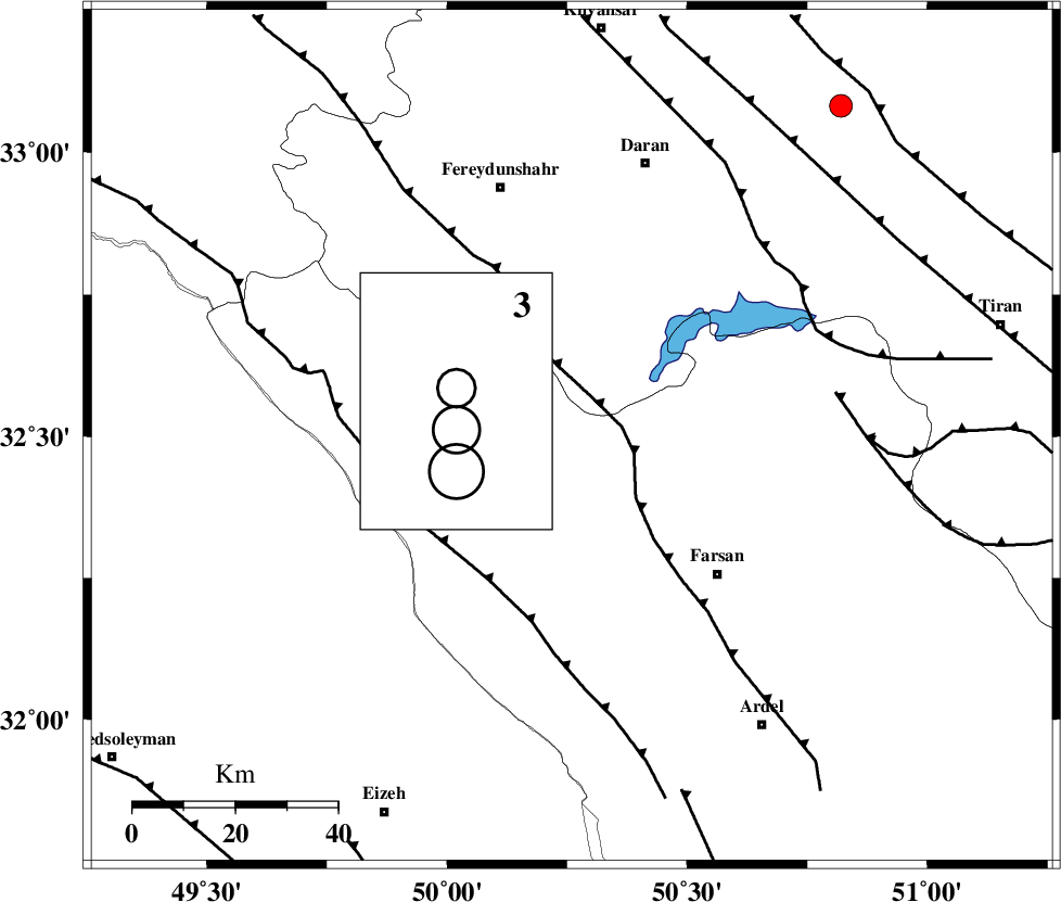
| Location | Lat:32.5 Lon: 50.26 |
| Region | 14 km East of Chelgard, Chaharmahal Bakhtiari Province |
Nearest Cities |
|
| 6 km of Kukanak, Esfahan Province | |
| 14 km North East of Chelgard, Chaharmahal Bakhtiari Province | |
| 19 km West of Organ, Esfahan Province | |
| 22 km South West of Faramushjan, Esfahan Province | |
| 26 km South of Ghale? sorkh, Esfahan Province | |
| Depth | 33 km |
| Agency | |
Faults within 150 km: |
|
| MAIN_ZAGROS_R_F (Length: 1106 km) , Distance to epicenter: 6 km | |
| ARDAL_F (Length: 170 km) , Distance to epicenter: 16 km | |
| ZARDKUH_F (Length: 139 km) , Distance to epicenter: 25 km | |
| Number of Phases | 6 |
| RMS | 0.2 |
| Number of Stations | 5 |
| Error in Latitude | >3.3 km |
| Error in Longitude | 2.7 km |
| Error in Depth | 6.5 km |
Download waveform in seisan format
to download seisan software Click here
to access information about IIEES stations Click here
Amplitude | ||||||||
| UID | Agency | Station | Component | Amplitude | Period | Arrival Time | Proccessing Time | Signal Clip |
| 51757 | IIEES | SHGR | N | 253.4 | 0.88 | 2009-01-24 13:45:39 | 2009-06-27 08:52:00 | n |
| 51758 | IIEES | SHGR | E | 247.1 | 0.98 | 2009-01-24 13:45:40 | 2009-06-27 08:52:00 | n |
| 51759 | IIEES | ASAO | N | 47.6 | 0.76 | 2009-01-24 13:46:06 | 2009-06-27 08:52:00 | n |
Phase | ||||||||||||
| Agency | Station | Component | Phase Type | Phase Quality | First Motion | Observed Arrival Time | Time Residual | Loc. Flag | Input Weight | Distance | Azimuth | |
| IIEES | KHMZ | Z | Pg | E | 2009-01-24 13:45:16 | 0.1 | y | 140 | 349 | |||
| IIEES | SHGR | Z | Pg | E | 2009-01-24 13:45:16 | -0.3 | y | 144 | 253 | |||
| IIEES | SHGR | N | Sg | E | 2009-01-24 13:45:34 | 0.2 | y | 144 | 253 | |||
| IIEES | ASAO | Z | Pg | E | 2009-01-24 13:45:29 | -0.2 | y | 228 | 354 | |||
| IIEES | NASN | Z | Pg | E | 2009-01-24 13:45:32 | 0.1 | y | 241 | 81 | |||
| IIEES | SNGE | Z | Pn | E | 2009-01-24 13:45:48 | 0 | y | 394 | 318 | |||