
Magnitude |
:3.6 |
| Date & Time (UTC) | 2008-09-07 04:43:09.3 |
| Date & Time (Local) | 1387/6/17 09:13:09.3 |
| Location | Lat:32.31 Lon: 47.31 |
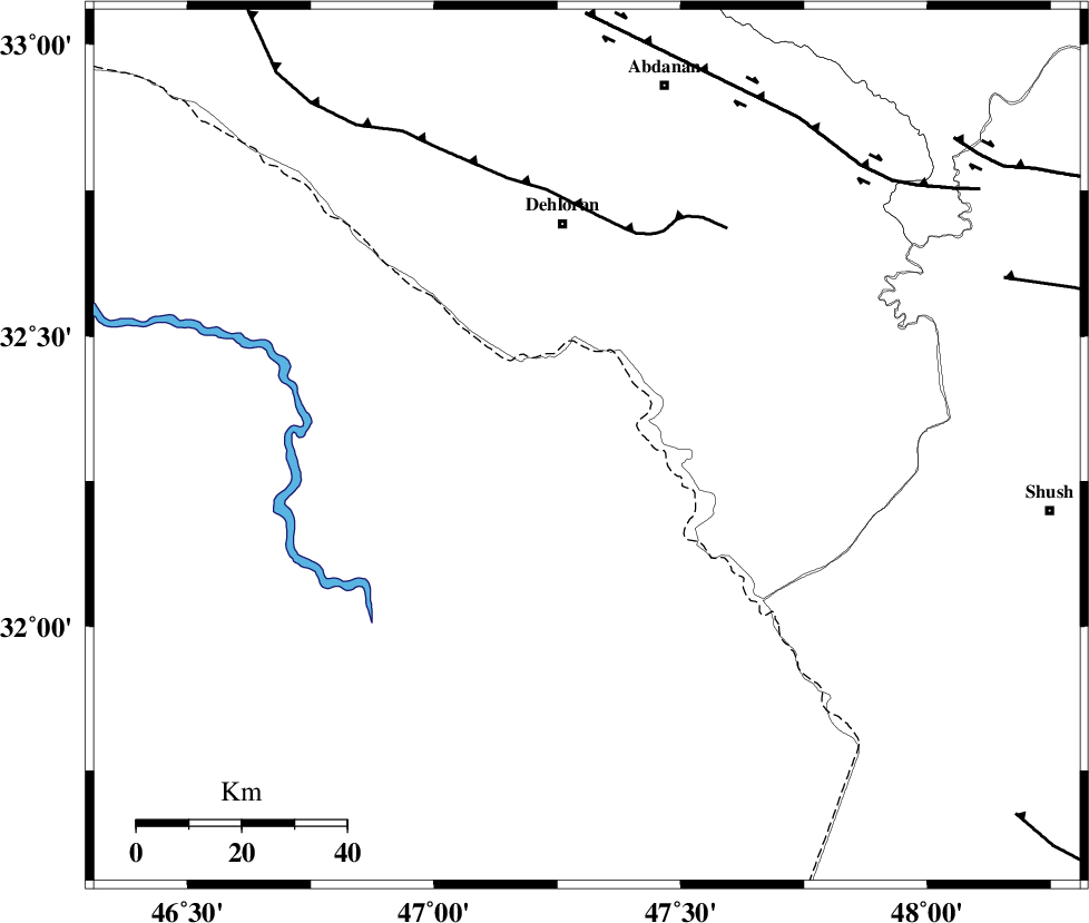
| Region | 43 km South of Dehloran, Ilam Province |
Nearest Cities |
|
| 27 km South of Musian, Ilam Province | |
| 43 km South of Dehloran, Ilam Province | |
| 65 km South East of Bishehzar, Ilam Province | |
| 70 km South West of Sarabbagh, Ilam Province | |
| 71 km South West of Abdanan, Ilam Province | |
| Depth | 15 km |
| Agency | |
Faults within 150 km: |
|
| MFF6 (Length: 144 km) , Distance to epicenter: 42 km | |
| BALARUD_F_Z1 (Length: 87 km) , Distance to epicenter: 75 km | |
| DEZFUL_EMBAYMENT (Length: 228 km) , Distance to epicenter: 86 km | |
| Number of Phases | 8 |
| RMS | 0.3 |
| Number of Stations | 8 |
| Error in Latitude | >19.9 km |
| Error in Longitude | 4.3 km |
| Error in Depth | 0 km |
Download waveform in seisan format
to download seisan software Click here
to access information about IIEES stations Click here
Amplitude | ||||||||
| UID | Agency | Station | Component | Amplitude | Period | Arrival Time | Proccessing Time | Signal Clip |
| 50160 | IIEES | ASAO | N | 140.8 | 0.59 | 2008-09-07 04:44:50 | 2009-05-05 01:27:00 | n |
| 50161 | IIEES | GHVR | E | 90.6 | 0.57 | 2008-09-07 04:45:01 | 2009-05-05 01:27:00 | n |
Phase | ||||||||||||
| Agency | Station | Component | Phase Type | Phase Quality | First Motion | Observed Arrival Time | Time Residual | Loc. Flag | Input Weight | Distance | Azimuth | |
| IIEES | SNGE | Z | Pn | E | 2008-09-07 04:43:55 | 0 | y | 309 | 1 | |||
| IIEES | ASAO | Z | P | E | 2008-09-07 04:44:01 | 0.6 | y | 354 | 45 | |||
| IIEES | GHVR | Z | Pn | E | 2008-09-07 04:44:11 | 0.1 | y | 438 | 56 | |||
| IIEES | ZNJK | Z | Pn | E | 2008-09-07 04:44:19 | -0.1 | y | 500 | 14 | |||
| IIEES | NASN | Z | Pn | E | 2008-09-07 04:44:21 | -0.1 | y | 519 | 83 | |||
| IIEES | CHTH | Z | Pn | E | 2008-09-07 04:44:22 | -0.5 | y | 532 | 40 | |||
| IIEES | DAMV | Z | Pn | E | 2008-09-07 04:44:27 | -0.4 | y | 567 | 48 | |||
| IIEES | GRMI | Z | Pn | E | 2008-09-07 04:44:46 | 0.1 | y | 724 | 4 | |||