
Magnitude |
:3.4 |
| Date & Time (UTC) | 2008-09-02 22:32:17.7 |
| Date & Time (Local) | 1387/6/13 03:02:17.7 |
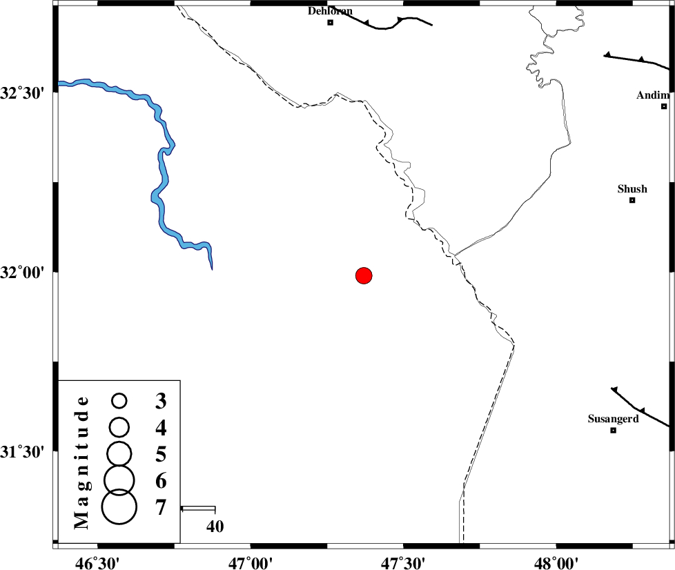
| Location | Lat:31.99 Lon: 47.37 |
| Region | 78 km South-East of Dehloran, Ilam Province |
Nearest Cities |
|
| 62 km South of Musian, Ilam Province | |
| 65 km North West of Bostan, Khoozestan Province | |
| 79 km South East of Dehloran, Ilam Province | |
| 86 km South West of Shush, Khoozestan Province | |
| 88 km South West of Amaleh teimur, Khoozestan Province | |
| Depth | 36 km |
| Agency | |
Faults within 150 km: |
|
| MFF6 (Length: 144 km) , Distance to epicenter: 76 km | |
| AHVAZ_F (Length: 99 km) , Distance to epicenter: 84 km | |
| DEZFUL_EMBAYMENT (Length: 228 km) , Distance to epicenter: 100 km | |
| Number of Phases | 5 |
| RMS | 0.2 |
| Number of Stations | 4 |
| Error in Latitude | >12.7 km |
| Error in Longitude | 9.6 km |
| Error in Depth | 9.3 km |
Download waveform in seisan format
to download seisan software Click here
to access information about IIEES stations Click here
Amplitude | ||||||||
| UID | Agency | Station | Component | Amplitude | Period | Arrival Time | Proccessing Time | Signal Clip |
| 50112 | IIEES | SHGR | N | 2845.3 | 0.31 | 2008-09-02 22:33:02 | 2009-05-05 01:27:00 | n |
| 50113 | IIEES | ASAO | N | 58.7 | 0.47 | 2008-09-02 22:34:04 | 2009-05-05 01:27:00 | n |
| 50114 | IIEES | ASAO | E | 60.2 | 0.58 | 2008-09-02 22:34:08 | 2009-05-05 01:27:00 | n |
| 50115 | IIEES | GHVR | E | 37.9 | 0.56 | 2008-09-02 22:34:18 | 2009-05-05 01:27:00 | n |
| 50116 | IIEES | GHVR | N | 36.5 | 0.48 | 2008-09-02 22:34:21 | 2009-05-05 01:27:00 | n |
Phase | ||||||||||||
| Agency | Station | Component | Phase Type | Phase Quality | First Motion | Observed Arrival Time | Time Residual | Loc. Flag | Input Weight | Distance | Azimuth | |
| IIEES | SHGR | Z | Pg | E | 2008-09-02 22:32:40 | 0 | y | 136 | 84 | |||
| IIEES | SHGR | N | Sg | E | 2008-09-02 22:32:56 | 0 | y | 136 | 84 | |||
| IIEES | ASAO | Z | Pn | E | 2008-09-02 22:33:10 | 0.2 | y | 376 | 40 | |||
| IIEES | GHVR | Z | Pn | E | 2008-09-02 22:33:19 | -0.3 | y | 455 | 52 | |||
| IIEES | NASN | Z | Pn | E | 2008-09-02 22:33:28 | 0.1 | y | 519 | 79 | |||