
Magnitude |
:3.1 |
| Date & Time (UTC) | 2008-08-27 23:16:17.9 |
| Date & Time (Local) | 1387/6/7 03:46:17.9 |
| Location | Lat:31.83 Lon: 47.23 |
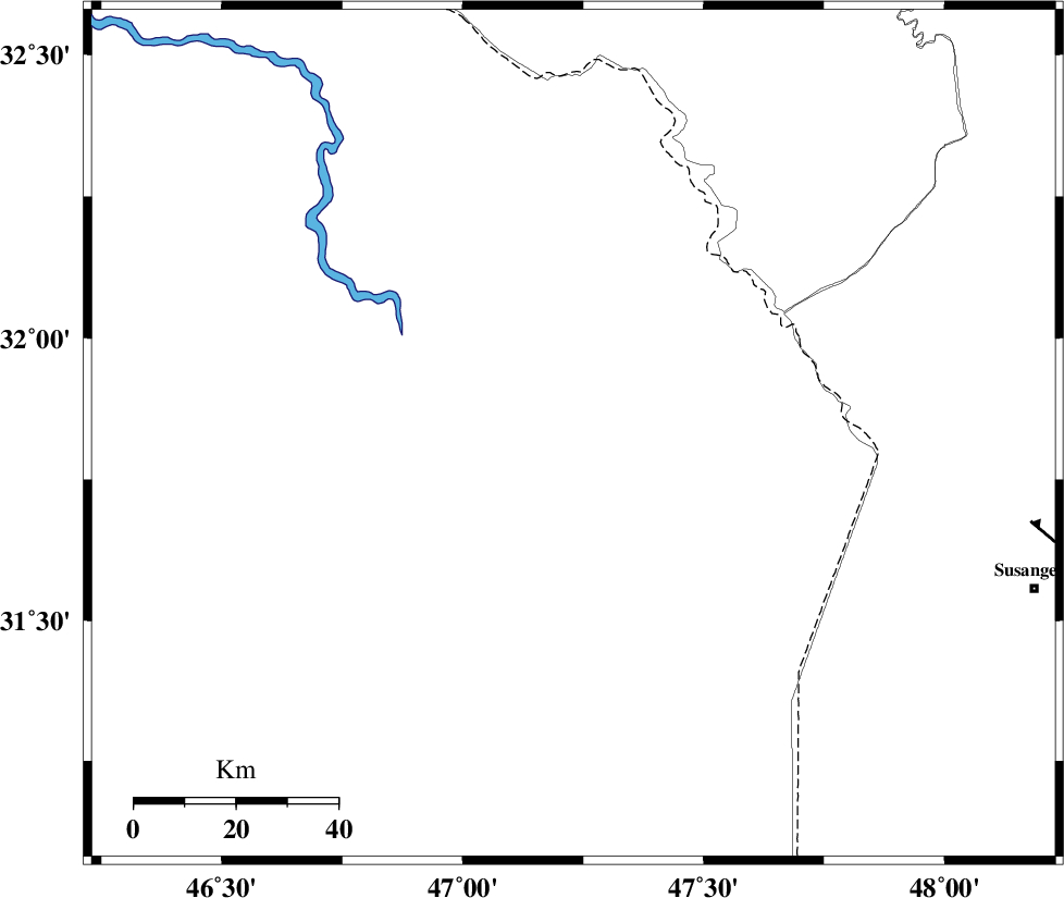
| Region | 95 km North-West of Susangerd, Khoozestan Province |
Nearest Cities |
|
| 72 km North West of Bostan, Khoozestan Province | |
| 81 km South West of Musian, Ilam Province | |
| 90 km North West of Hoveizeh, Khoozestan Province | |
| 95 km North West of Susangerd, Khoozestan Province | |
| 96 km South of Dehloran, Ilam Province | |
| Depth | 37 km |
| Agency | |
Faults within 150 km: |
|
| AHVAZ_F (Length: 99 km) , Distance to epicenter: 91 km | |
| MFF6 (Length: 144 km) , Distance to epicenter: 96 km | |
| DEZFUL_EMBAYMENT (Length: 228 km) , Distance to epicenter: 122 km | |
| Number of Phases | 5 |
| RMS | 0.1 |
| Number of Stations | 4 |
| Error in Latitude | >7.8 km |
| Error in Longitude | 5.9 km |
| Error in Depth | 5.5 km |
Download waveform in seisan format
to download seisan software Click here
to access information about IIEES stations Click here
Amplitude | ||||||||
| UID | Agency | Station | Component | Amplitude | Period | Arrival Time | Proccessing Time | Signal Clip |
| 49986 | IIEES | ASAO | N | 30.8 | 0.6 | 2008-08-27 23:18:05 | 2009-05-05 01:27:00 | n |
| 49987 | IIEES | ASAO | E | 29.4 | 0.56 | 2008-08-27 23:18:11 | 2009-05-05 01:27:00 | n |
| 49988 | IIEES | GHVR | E | 17.7 | 0.44 | 2008-08-27 23:18:20 | 2009-05-05 01:27:00 | n |
| 49989 | IIEES | GHVR | N | 21.2 | 0.56 | 2008-08-27 23:18:27 | 2009-05-05 01:27:00 | n |
Phase | ||||||||||||
| Agency | Station | Component | Phase Type | Phase Quality | First Motion | Observed Arrival Time | Time Residual | Loc. Flag | Input Weight | Distance | Azimuth | |
| IIEES | SHGR | Z | Pg | E | 2008-08-27 23:16:42 | 0 | y | 152 | 78 | |||
| IIEES | SHGR | N | Sg | E | 2008-08-27 23:17:01 | 0 | y | 152 | 78 | |||
| IIEES | ASAO | Z | Pn | E | 2008-08-27 23:17:13 | -0.1 | y | 399 | 40 | |||
| IIEES | GHVR | Z | Pn | E | 2008-08-27 23:17:22 | 0.1 | y | 476 | 51 | |||
| IIEES | NASN | Z | Pn | E | 2008-08-27 23:17:30 | 0 | y | 536 | 77 | |||