
Magnitude |
:3.4 |
| Date & Time (UTC) | 2008-04-22 20:39:47.9 |
| Date & Time (Local) | 1387/2/4 01:09:47.9 |
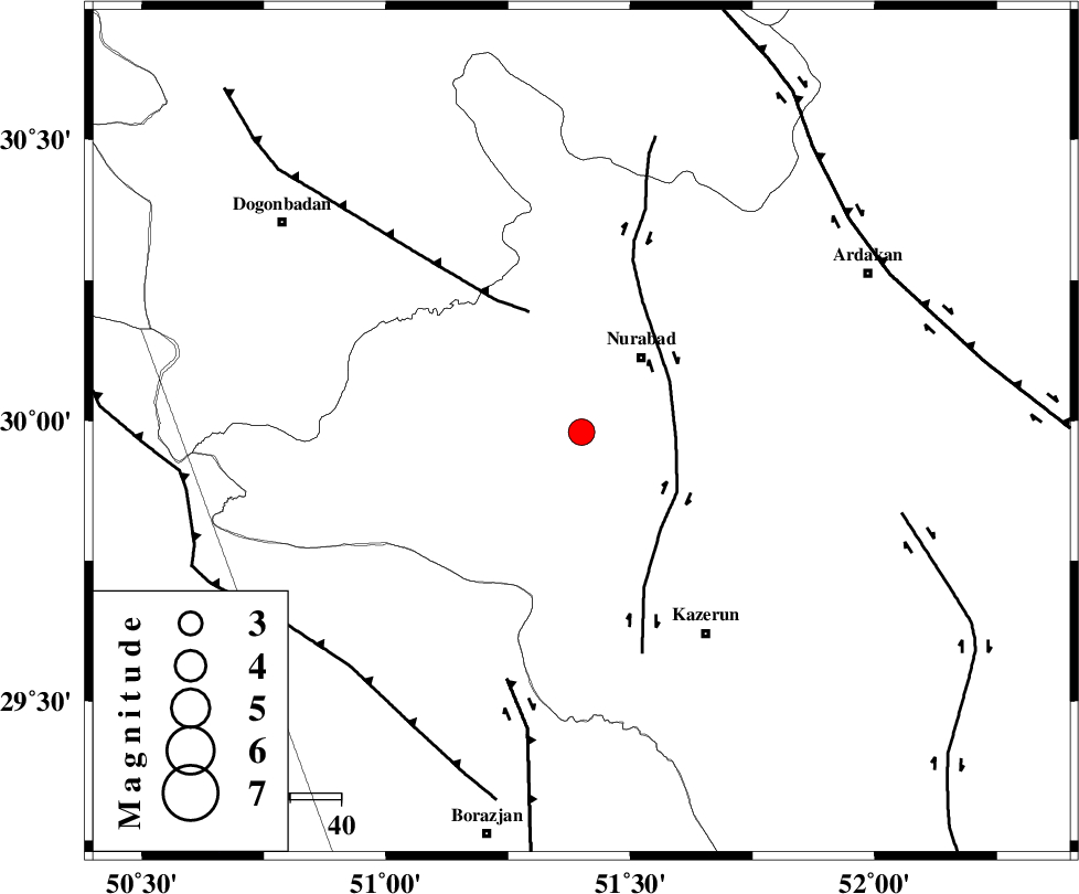
| Location | Lat:29.98 Lon: 51.4 |
| Region | 18 km South-West of Nurabad, Fars Province |
Nearest Cities |
|
| 16 km South of Ahangari, Fars Province | |
| 17 km South West of Gachgaran, Fars Province | |
| 19 km South West of Nurabad, Fars Province | |
| 21 km East of Babamonir, Fars Province | |
| 24 km South of Fahlian-e olia, Fars Province | |
| Depth | 15 km |
| Agency | |
Faults within 150 km: |
|
| KAZERUN_F (Length: 96 km) , Distance to epicenter: 19 km | |
| MISHAN_F (Length: 76 km) , Distance to epicenter: 26 km | |
| BORAZJAN_F (Length: 168 km) , Distance to epicenter: 51 km | |
| Number of Phases | 5 |
| RMS | 0 |
| Number of Stations | 5 |
| Error in Latitude | >4.2 km |
| Error in Longitude | 6.4 km |
| Error in Depth | 6.7 km |
Download waveform in seisan format
to download seisan software Click here
to access information about IIEES stations Click here
Amplitude | ||||||||
| UID | Agency | Station | Component | Amplitude | Period | Arrival Time | Proccessing Time | Signal Clip |
| 48969 | IIEES | GHIR | E | 209.8 | 0.7 | 2008-04-22 20:41:18 | 2009-01-18 12:56:00 | n |
| 48970 | IIEES | BNDS | N | 27 | 0.39 | 2008-04-22 20:42:03 | 2009-01-18 12:56:00 | n |
Phase | ||||||||||||
| Agency | Station | Component | Phase Type | Phase Quality | First Motion | Observed Arrival Time | Time Residual | Loc. Flag | Input Weight | Distance | Azimuth | |
| IIEES | GHIR | Z | Pg | E | 2008-04-22 20:40:27 | 0 | y | 244 | 140 | |||
| IIEES | NASN | Z | Pn | E | 2008-04-22 20:40:38 | 0 | y | 340 | 23 | |||
| IIEES | KRBR | Z | Pn | E | 2008-04-22 20:41:00 | 0 | y | 518 | 89 | |||
| IIEES | ASAO | Z | Pn | E | 2008-04-22 20:41:00 | 0 | y | 522 | 346 | |||
| IIEES | BNDS | Z | Pn | E | 2008-04-22 20:41:03 | 0 | y | 548 | 120 | |||