
Magnitude |
:3.4 |
| Date & Time (UTC) | 2008-04-06 16:21:38.2 |
| Date & Time (Local) | 1387/1/18 20:51:38.2 |
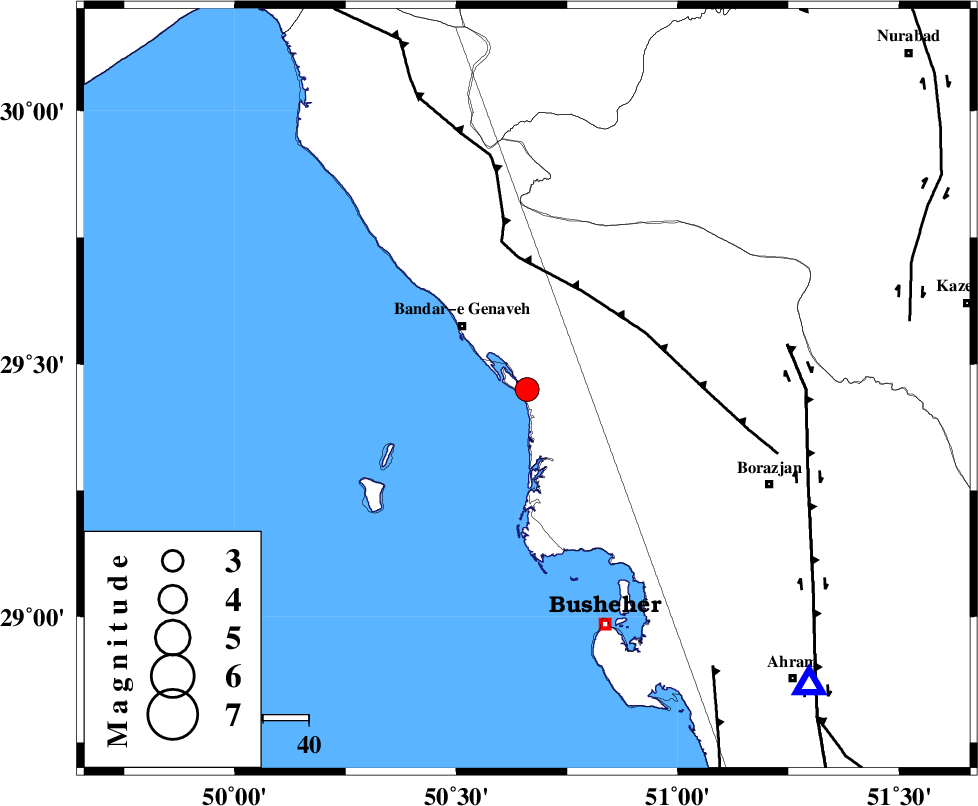
| Location | Lat:29.45 Lon: 50.66 |
| Region | 19 km South-East of Bandar-e genaveh, Bushehr Province |
Nearest Cities |
|
| 5 km of Bandarehrig, Bushehr Province | |
| 16 km West of Chehar rustaee, Bushehr Province | |
| 20 km South East of Bandar-e genaveh, Bushehr Province | |
| 22 km South of Mohammad salehi, Bushehr Province | |
| 32 km West of Dehkohneh, Bushehr Province | |
| Depth | 15 km |
| Agency | |
Faults within 150 km: |
|
| ZFF3 (Length: 125 km) , Distance to epicenter: 25 km | |
| BORAZJAN_F (Length: 168 km) , Distance to epicenter: 58 km | |
| ZFF2 (Length: 84 km) , Distance to epicenter: 73 km | |
| Number of Phases | 6 |
| RMS | 0.3 |
| Number of Stations | 6 |
| Error in Latitude | >6.7 km |
| Error in Longitude | 2.5 km |
| Error in Depth | 0 km |
Download waveform in seisan format
to download seisan software Click here
to access information about IIEES stations Click here
Amplitude | ||||||||
| UID | Agency | Station | Component | Amplitude | Period | Arrival Time | Proccessing Time | Signal Clip |
| 48817 | IIEES | GHIR | N | 151.2 | 0.52 | 2008-04-06 16:23:12 | 2009-01-18 12:56:00 | n |
| 48818 | IIEES | GHIR | E | 162.9 | 0.48 | 2008-04-06 16:23:13 | 2009-01-18 12:56:00 | n |
| 48819 | IIEES | SHGR | E | 98 | 0.52 | 2008-04-06 16:23:32 | 2009-01-18 12:56:00 | n |
| 48820 | IIEES | ASAO | E | 20.8 | 0.52 | 2008-04-06 16:23:57 | 2009-01-18 12:56:00 | n |
| 48821 | IIEES | KRBR | E | 17.8 | 0.88 | 2008-04-06 16:24:11 | 2009-01-18 12:56:00 | n |
| 48822 | IIEES | KRBR | N | 23.2 | 0.6 | 2008-04-06 16:24:12 | 2009-01-18 12:56:00 | n |
Phase | ||||||||||||
| Agency | Station | Component | Phase Type | Phase Quality | First Motion | Observed Arrival Time | Time Residual | Loc. Flag | Input Weight | Distance | Azimuth | |
| IIEES | GHIR | Z | Pn | E | 2008-04-06 16:22:18 | 0 | y | 262 | 119 | |||
| IIEES | SHGR | Z | Pn | E | 2008-04-06 16:22:28 | 0 | y | 344 | 329 | |||
| IIEES | NASN | Z | Pn | E | 2008-04-06 16:22:38 | -0.1 | y | 424 | 28 | |||
| IIEES | ASAO | Z | Pn | E | 2008-04-06 16:22:57 | 0.5 | y | 568 | 354 | |||
| IIEES | KRBR | Z | Pn | E | 2008-04-06 16:22:59 | 0 | y | 594 | 83 | |||
| IIEES | SNGE | Z | Pn | E | 2008-04-06 16:23:12 | -0.4 | y | 699 | 334 | |||