
Magnitude |
:3.1 |
| Date & Time (UTC) | 2008-03-18 23:32:46.7 |
| Date & Time (Local) | 1386/12/29 03:02:46.7 |
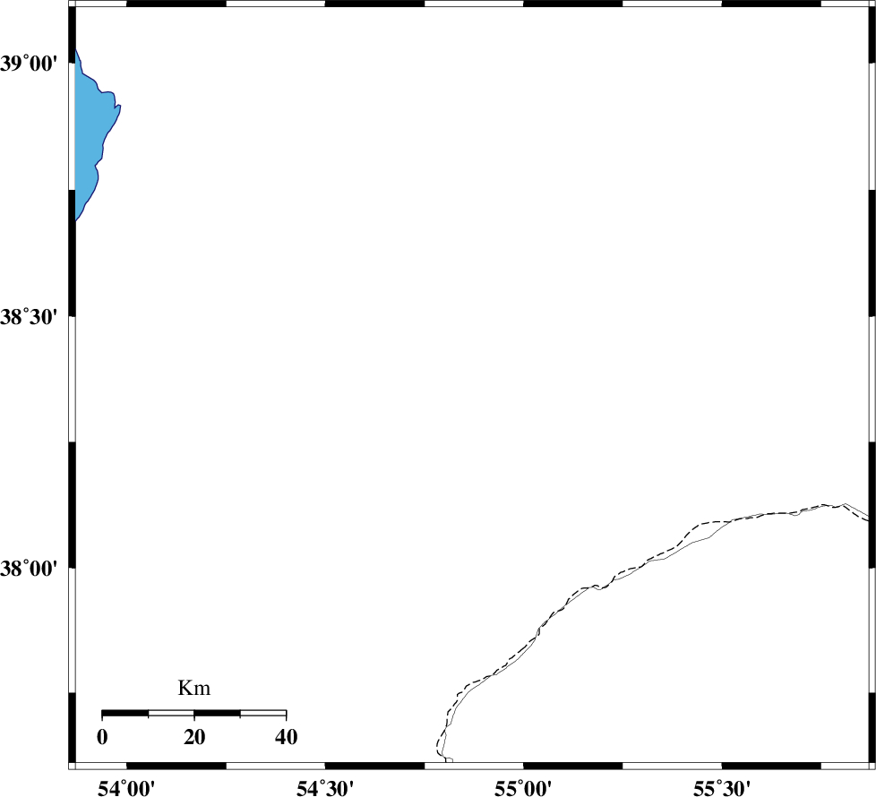
| Location | Lat:38.36 Lon: 54.87 |
| Region | 121 km North-West of Kalaleh, Golestan Province |
Nearest Cities |
|
| 72 km North West of Karand, Golestan Province | |
| 82 km North of Dashliborun, Golestan Province | |
| 85 km North West of Qareh aghaj, Golestan Province | |
| 102 km North East of Enchehborun, Golestan Province | |
| 108 km North West of Moravehtappeh, Golestan Province | |
| Depth | 46 km |
| Agency | |
Faults within 150 km: |
|
| MAIN_KOPEHDAGH_F1 (Length: 318 km) , Distance to epicenter: 112 km | |
| MAIN_KOPEHDAGH_F2 (Length: 131 km) , Distance to epicenter: 148 km | |
| Number of Phases | 4 |
| RMS | 0.1 |
| Number of Stations | 3 |
| Error in Latitude | >14.6 km |
| Error in Longitude | 6.2 km |
| Error in Depth | 10.2 km |
Download waveform in seisan format
to download seisan software Click here
to access information about IIEES stations Click here
Amplitude | ||||||||
| UID | Agency | Station | Component | Amplitude | Period | Arrival Time | Proccessing Time | Signal Clip |
| 48626 | IIEES | MRVT | E | 394.3 | 0.72 | 2008-03-18 23:33:27 | 2008-12-28 01:25:00 | n |
| 48627 | IIEES | BJRD | E | 96.5 | 0.34 | 2008-03-18 23:33:58 | 2008-12-28 01:25:00 | n |
Phase | ||||||||||||
| Agency | Station | Component | Phase Type | Phase Quality | First Motion | Observed Arrival Time | Time Residual | Loc. Flag | Input Weight | Distance | Azimuth | |
| IIEES | MRVT | Z | Pg | E | 2008-03-18 23:33:09 | 0 | y | 132 | 125 | |||
| IIEES | BJRD | Z | Pg | E | 2008-03-18 23:33:24 | 0.1 | y | 235 | 107 | |||
| IIEES | BJRD | N | Sg | E | 2008-03-18 23:33:52 | 0 | y | 235 | 107 | |||
| IIEES | DAMV | Z | Pn | E | 2008-03-18 23:33:40 | -0.2 | y | 397 | 221 | |||