
Magnitude |
:3.5 |
| Date & Time (UTC) | 2004-12-29 04:50:50.6 |
| Date & Time (Local) | 1383/10/9 08:20:50.6 |
| Location | Lat:31.58 Lon: 49.13 |
| Region | 42 km South-West of Masjed Soleyman, Khoozestan Province |
Nearest Cities |
|
| 18 km East of Talieh, Khoozestan Province | |
| 24 km East of Mollasani, Khoozestan Province | |
| 24 km North West of Gazin, Khoozestan Province | |
| 26 km North East of Veys, Khoozestan Province | |
| 36 km South East of Arabhasan, Khoozestan Province | |
| Depth | 30 km |
| Agency | |
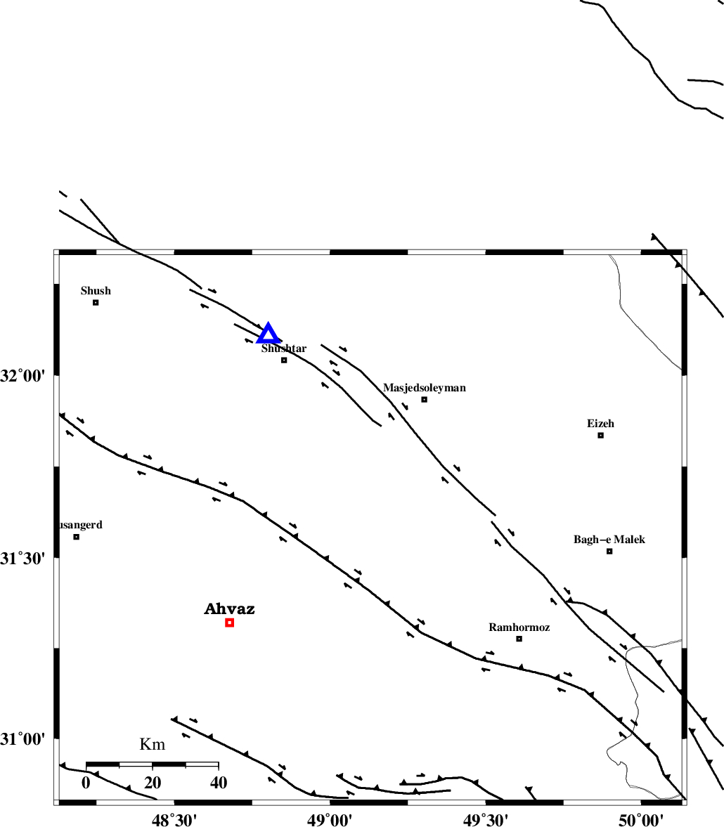
Faults within 150 km: |
|
| DEZFUL_EMBAYMENT (Length: 228 km) , Distance to epicenter: 32 km | |
| AGHAJARI_F (Length: 88 km) , Distance to epicenter: 44 km | |
| AHVAZ_F (Length: 99 km) , Distance to epicenter: 44 km | |
| Number of Phases | 5 |
| RMS | 0 |
| Number of Stations | 4 |
| Error in Latitude | >6.4 km |
| Error in Longitude | 5.4 km |
| Error in Depth | 3.6 km |
Download waveform in seisan format
to download seisan software Click here
to access information about IIEES stations Click here
Amplitude | ||||||||
| UID | Agency | Station | Component | Amplitude | Period | Arrival Time | Proccessing Time | Signal Clip |
| 31447 | IIEES | SHGR | E | 1550.4 | 0.64 | 2004-12-29 04:51:20 | 2006-03-15 11:56:00 | n |
| 31448 | IIEES | SHGR | N | 2356 | 0.72 | 2004-12-29 04:51:25 | 2006-03-15 11:56:00 | n |
| 31449 | IIEES | ASAO | N | 181.5 | 0.64 | 2004-12-29 04:52:25 | 2006-03-15 11:56:00 | n |
| 31450 | IIEES | ASAO | E | 164.2 | 0.6 | 2004-12-29 04:52:28 | 2006-03-15 11:56:00 | n |
Phase | ||||||||||||
| Agency | Station | Component | Phase Type | Phase Quality | First Motion | Observed Arrival Time | Time Residual | Loc. Flag | Input Weight | Distance | Azimuth | |
| IIEES | SHGR | Z | PG | E | 2004-12-29 04:51:02 | 0 | y | 66.3 | 332 | |||
| IIEES | SHGR | N | SG | E | 2004-12-29 04:51:11 | 0 | y | 66.3 | 332 | |||
| IIEES | ASAO | Z | PN | E | 2004-12-29 04:51:39 | -0.1 | y | 340 | 14 | |||
| IIEES | NASN | Z | PN | E | 2004-12-29 04:51:43 | 0 | y | 373 | 68 | |||
| IIEES | SNGE | Z | PN | E | 2004-12-29 04:51:49 | 0 | y | 423 | 337 | |||