
Magnitude |
:3.4 |
| Date & Time (UTC) | 2004-12-08 10:15:46.0 |
| Date & Time (Local) | 1383/9/18 13:45:46.0 |
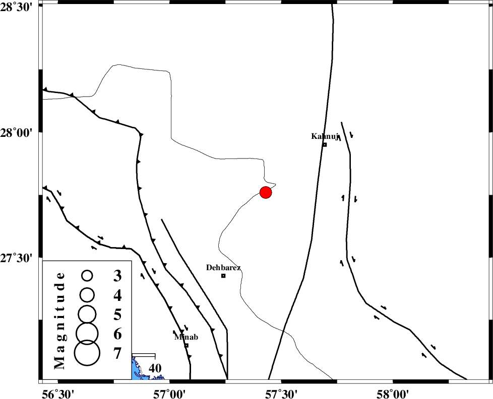
| Location | Lat:27.76 Lon: 57.43 |
| Region | 33 km South-West of Kahnuj, Kerman Province |
Nearest Cities |
|
| 16 km East of Fariab, Hormozgan Province | |
| 18 km North of Bejogan, Kerman Province | |
| 20 km North East of Ziaratali, Hormozgan Province | |
| 24 km North of Nodezh, Kerman Province | |
| 26 km North West of Bargah, Kerman Province | |
| Depth | 14 km |
| Agency | |
Faults within 150 km: |
|
| SABZEVARAN_F (Length: 190 km) , Distance to epicenter: 24 km | |
| JIROFT_F (Length: 144 km) , Distance to epicenter: 37 km | |
| ZENDAN_MINAB_F_Z1 (Length: 183 km) , Distance to epicenter: 47 km | |
| Number of Phases | 4 |
| RMS | 0.3 |
| Number of Stations | 3 |
| Error in Latitude | >14.5 km |
| Error in Longitude | 7.6 km |
| Error in Depth | 31.5 km |
Download waveform in seisan format
to download seisan software Click here
to access information about IIEES stations Click here
Amplitude | ||||||||
| UID | Agency | Station | Component | Amplitude | Period | Arrival Time | Proccessing Time | Signal Clip |
| 31346 | IIEES | KRBR | E | 267.9 | 0.32 | 2004-12-08 10:17:00 | 2006-03-15 11:56:00 | n |
| 31347 | IIEES | KRBR | N | 204.2 | 0.32 | 2004-12-08 10:17:00 | 2006-03-15 11:56:00 | n |
Phase | ||||||||||||
| Agency | Station | Component | Phase Type | Phase Quality | First Motion | Observed Arrival Time | Time Residual | Loc. Flag | Input Weight | Distance | Azimuth | |
| IIEES | KRBR | Z | PN | E | 2004-12-08 10:16:26 | 0.5 | y | 255 | 345 | |||
| IIEES | KRBR | E | SG | E | 2004-12-08 10:16:58 | -0.1 | y | 255 | 345 | |||
| IIEES | ZHSF | Z | PN | E | 2004-12-08 10:16:41 | -0.2 | y | 386 | 57 | |||
| IIEES | GHIR | Z | PN | E | 2004-12-08 10:16:48 | -0.2 | y | 441 | 279 | |||