
Magnitude |
:3.8 |
| Date & Time (UTC) | 2004-11-20 02:27:47.2 |
| Date & Time (Local) | 1383/8/30 05:57:47.2 |
| Location | Lat:31.9 Lon: 48.72 |
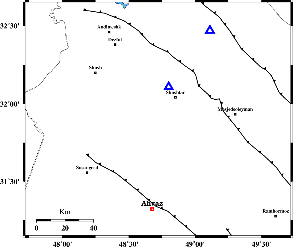
| Region | 19 km South-West of Shushtar, Khoozestan Province |
Nearest Cities |
|
| 13 km West of Mehdiabad, Khoozestan Province | |
| 14 km South of Sardarabad, Khoozestan Province | |
| 18 km North West of Arabhasan, Khoozestan Province | |
| 20 km South West of Shushtar, Khoozestan Province | |
| 33 km North East of Abdolkhan-eali, Khoozestan Province | |
| Depth | 15 km |
| Agency | |
Faults within 150 km: |
|
| DEZFUL_EMBAYMENT (Length: 228 km) , Distance to epicenter: 38 km | |
| AHVAZ_F (Length: 99 km) , Distance to epicenter: 49 km | |
| MFF2 (Length: 205 km) , Distance to epicenter: 78 km | |
| Number of Phases | 7 |
| RMS | 0.4 |
| Number of Stations | 7 |
| Error in Latitude | >8.4 km |
| Error in Longitude | 5.6 km |
| Error in Depth | 0 km |
Download waveform in seisan format
to download seisan software Click here
to access information about IIEES stations Click here
Amplitude | ||||||||
| UID | Agency | Station | Component | Amplitude | Period | Arrival Time | Proccessing Time | Signal Clip |
| 31062 | IIEES | ASAO | N | 522 | 0.73 | 2004-11-20 02:29:20 | 2006-03-15 11:56:00 | n |
| 31063 | IIEES | SNGE | N | 454.3 | 0.6 | 2004-11-20 02:29:36 | 2006-03-15 11:56:00 | n |
| 31064 | IIEES | NASN | N | 81.8 | 0.76 | 2004-11-20 02:29:44 | 2006-03-15 11:56:00 | n |
| 31065 | IIEES | THKV | N | 93.4 | 0.84 | 2004-11-20 02:30:08 | 2006-03-15 11:56:00 | n |
Phase | ||||||||||||
| Agency | Station | Component | Phase Type | Phase Quality | First Motion | Observed Arrival Time | Time Residual | Loc. Flag | Input Weight | Distance | Azimuth | |
| IIEES | ASAO | Z | PN | E | 2004-11-20 02:28:34 | 0.4 | y | 318 | 22 | |||
| IIEES | SNGE | Z | PN | E | 2004-11-20 02:28:41 | 0.2 | y | 376 | 341 | |||
| IIEES | NASN | Z | PN | E | 2004-11-20 02:28:44 | 0.5 | y | 397 | 74 | |||
| IIEES | THKV | Z | PN | E | 2004-11-20 02:28:55 | -0.2 | y | 488 | 24 | |||
| IIEES | DAMV | Z | PN | E | 2004-11-20 02:28:57 | -0.8 | y | 511 | 35 | |||
| IIEES | GHIR | Z | PN | E | 2004-11-20 02:29:05 | -0.2 | y | 574 | 133 | |||
| IIEES | GRMI | Z | PN | E | 2004-11-20 02:29:30 | -0.3 | y | 770 | 355 | |||