
Magnitude |
:3.4 |
| Date & Time (UTC) | 2004-08-30 12:55:14.8 |
| Date & Time (Local) | 1383/6/9 17:25:14.8 |
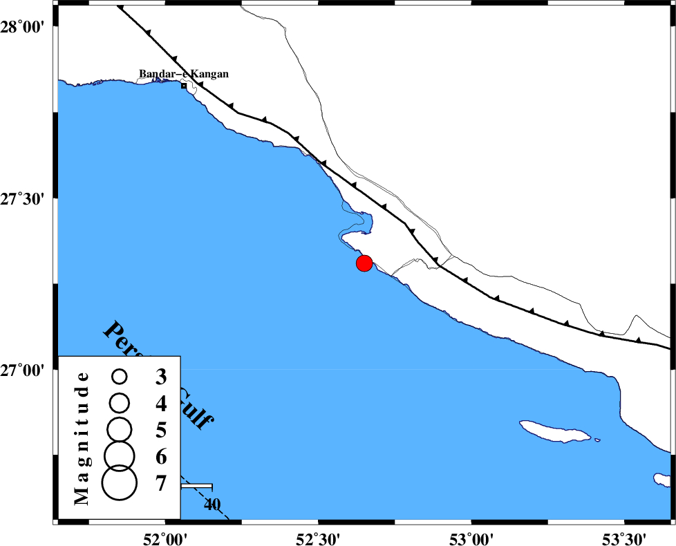
| Location | Lat:27.31 Lon: 52.65 |
| Region | Persian Gulf, 35 km South-West of Mehr |
Nearest Cities |
|
| 15 km West of Chah-e mobarak, Bushehr Province | |
| 19 km South of Bandar-e asaluyeh, Bushehr Province | |
| 34 km South West of Ardavan-e olia, Fars Province | |
| 35 km South West of Mehr, Fars Province | |
| 35 km South West of Khoozi, Fars Province | |
| Depth | 18 km |
| Agency | |
Faults within 150 km: |
|
| MFF3 (Length: 292 km) , Distance to epicenter: 18 km | |
| QIR_F (Length: 130 km) , Distance to epicenter: 125 km | |
| ZFF1 (Length: 165 km) , Distance to epicenter: 127 km | |
| Number of Phases | 4 |
| RMS | 0 |
| Number of Stations | 3 |
| Error in Latitude | >4.3 km |
| Error in Longitude | 6.6 km |
| Error in Depth | 5.7 km |
Download waveform in seisan format
to download seisan software Click here
to access information about IIEES stations Click here
Amplitude | ||||||||
| UID | Agency | Station | Component | Amplitude | Period | Arrival Time | Proccessing Time | Signal Clip |
| 28234 | IIEES | GHIR | N | 899 | 0.43 | 2004-08-30 12:55:52 | 2006-03-15 11:56:00 | n |
| 28235 | IIEES | KRBR | N | 34.3 | 0.23 | 2004-08-30 12:56:30 | 2006-03-15 11:56:00 | n |
Phase | ||||||||||||
| Agency | Station | Component | Phase Type | Phase Quality | First Motion | Observed Arrival Time | Time Residual | Loc. Flag | Input Weight | Distance | Azimuth | |
| IIEES | GHIR | Z | PG | E | 2004-08-30 12:55:33 | 0 | y | 113 | 17 | |||
| IIEES | GHIR | N | SG | E | 2004-08-30 12:55:47 | 0 | y | 113 | 17 | |||
| IIEES | KRBR | Z | PN | E | 2004-08-30 12:56:24 | 0 | y | 499 | 53 | |||
| IIEES | NASN | Z | PN | E | 2004-08-30 12:56:38 | 0 | y | 608 | 1 | |||