
Magnitude |
:3.8 |
| Date & Time (UTC) | 2004-08-27 17:46:44.2 |
| Date & Time (Local) | 1383/6/6 22:16:44.2 |
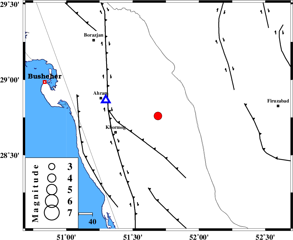
| Location | Lat:28.76 Lon: 51.69 |
| Region | 32 km North-East of Khormog, Bushehr Province |
Nearest Cities |
|
| 30 km South East of Kalameh, Bushehr Province | |
| 33 km North East of Khormog, Bushehr Province | |
| 37 km North East of Buheyri, Bushehr Province | |
| 40 km South West of Aviz, Fars Province | |
| 41 km South West of Farashband, Fars Province | |
| Depth | 6 km |
| Agency | |
Faults within 150 km: |
|
| MFF5 (Length: 74 km) , Distance to epicenter: 21 km | |
| BORAZJAN_F (Length: 168 km) , Distance to epicenter: 36 km | |
| MFF3 (Length: 292 km) , Distance to epicenter: 54 km | |
| Number of Phases | 5 |
| RMS | 0.2 |
| Number of Stations | 4 |
| Error in Latitude | >61 km |
| Error in Longitude | 19.8 km |
| Error in Depth | 75.1 km |
Download waveform in seisan format
to download seisan software Click here
to access information about IIEES stations Click here
Amplitude | ||||||||
| UID | Agency | Station | Component | Amplitude | Period | Arrival Time | Proccessing Time | Signal Clip |
| 28197 | IIEES | GHIR | N | 2512.1 | 0.4 | 2004-08-27 17:47:30 | 2006-03-15 11:56:00 | n |
| 28198 | IIEES | ASAO | N | 19.9 | 0.6 | 2004-08-27 17:49:55 | 2006-03-15 11:56:00 | n |
Phase | ||||||||||||
| Agency | Station | Component | Phase Type | Phase Quality | First Motion | Observed Arrival Time | Time Residual | Loc. Flag | Input Weight | Distance | Azimuth | |
| IIEES | GHIR | Z | PG | E | 2004-08-27 17:47:08 | 0 | y | 137 | 112 | |||
| IIEES | NASN | Z | PN | E | 2004-08-27 17:47:50 | 0.1 | y | 461 | 13 | |||
| IIEES | NASN | E | SN | 2004-08-27 17:48:38 | 0 | y | 461 | 13 | ||||
| IIEES | ASAO | Z | PN | E | 2004-08-27 17:48:15 | 0.2 | y | 661 | 347 | |||
| IIEES | DAMV | Z | PN | E | 2004-08-27 17:48:27 | -0.5 | y | 763 | 2 | |||