
Magnitude |
:3.2 |
| Date & Time (UTC) | 2004-09-27 09:36:25.3 |
| Date & Time (Local) | 1383/7/6 13:06:25.3 |
| Location | Lat:32.73 Lon: 48.86 |
| Region | 44 km North-West of Lali, Khoozestan Province |
Nearest Cities |
|
| 9 km of Shuy, Khoozestan Province | |
| 25 km North of Sardasht, Khoozestan Province | |
| 36 km South of Bargsar, Lorestan Province | |
| 42 km North East of Mahur berenji, Khoozestan Province | |
| 44 km North West of Lali, Khoozestan Province | |
| Depth | 14 km |
| Agency | |
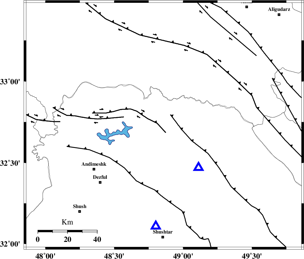
Faults within 150 km: |
|
| BALARUD_F_Z2 (Length: 58 km) , Distance to epicenter: 5 km | |
| MFF2 (Length: 205 km) , Distance to epicenter: 9 km | |
| BALARUD_F_Z3 (Length: 53 km) , Distance to epicenter: 28 km | |
| Number of Phases | 5 |
| RMS | 0.2 |
| Number of Stations | 5 |
| Error in Latitude | >15.4 km |
| Error in Longitude | 11.2 km |
| Error in Depth | 15.4 km |
Download waveform in seisan format
to download seisan software Click here
to access information about IIEES stations Click here
Amplitude | ||||||||
| UID | Agency | Station | Component | Amplitude | Period | Arrival Time | Proccessing Time | Signal Clip |
| 28194 | IIEES | ASAO | N | 150.6 | 0.64 | 2004-09-27 09:37:42 | 2006-03-15 11:56:00 | n |
| 28195 | IIEES | ASAO | E | 177.9 | 0.76 | 2004-09-27 09:37:42 | 2006-03-15 11:56:00 | n |
| 28196 | IIEES | SNGE | N | 96.1 | 0.52 | 2004-09-27 09:37:57 | 2006-03-15 11:56:00 | n |
Phase | ||||||||||||
| Agency | Station | Component | Phase Type | Phase Quality | First Motion | Observed Arrival Time | Time Residual | Loc. Flag | Input Weight | Distance | Azimuth | |
| IIEES | ASAO | Z | PG | E | 2004-09-27 09:37:02 | -0.2 | y | 228 | 28 | |||
| IIEES | SNGE | Z | PN | E | 2004-09-27 09:37:10 | 0 | y | 297 | 332 | |||
| IIEES | NASN | Z | PN | E | 2004-09-27 09:37:19 | -0.1 | y | 370 | 88 | |||
| IIEES | DAMV | Z | PN | E | 2004-09-27 09:37:27 | 0.5 | y | 430 | 41 | |||
| IIEES | GRMI | Z | PN | E | 2004-09-27 09:37:57 | -0.1 | y | 680 | 353 | |||