
Magnitude |
:3.8 |
| Date & Time (UTC) | 2004-09-15 08:27:41.0 |
| Date & Time (Local) | 1383/6/25 12:57:41.0 |
| Location | Lat:33.38 Lon: 48.54 |
| Region | 20 km South-East of Khorramabad, Lorestan Province |
Nearest Cities |
|
| 8 km of Emanabad, Lorestan Province | |
| 12 km of Kamalvand-e gholamali, Lorestan Province | |
| 17 km East of Daraei, Lorestan Province | |
| 19 km East of Badrabad-e sofla, Lorestan Province | |
| 20 km South East of Khorramabad, Lorestan Province | |
| Depth | 15 km |
| Agency | |
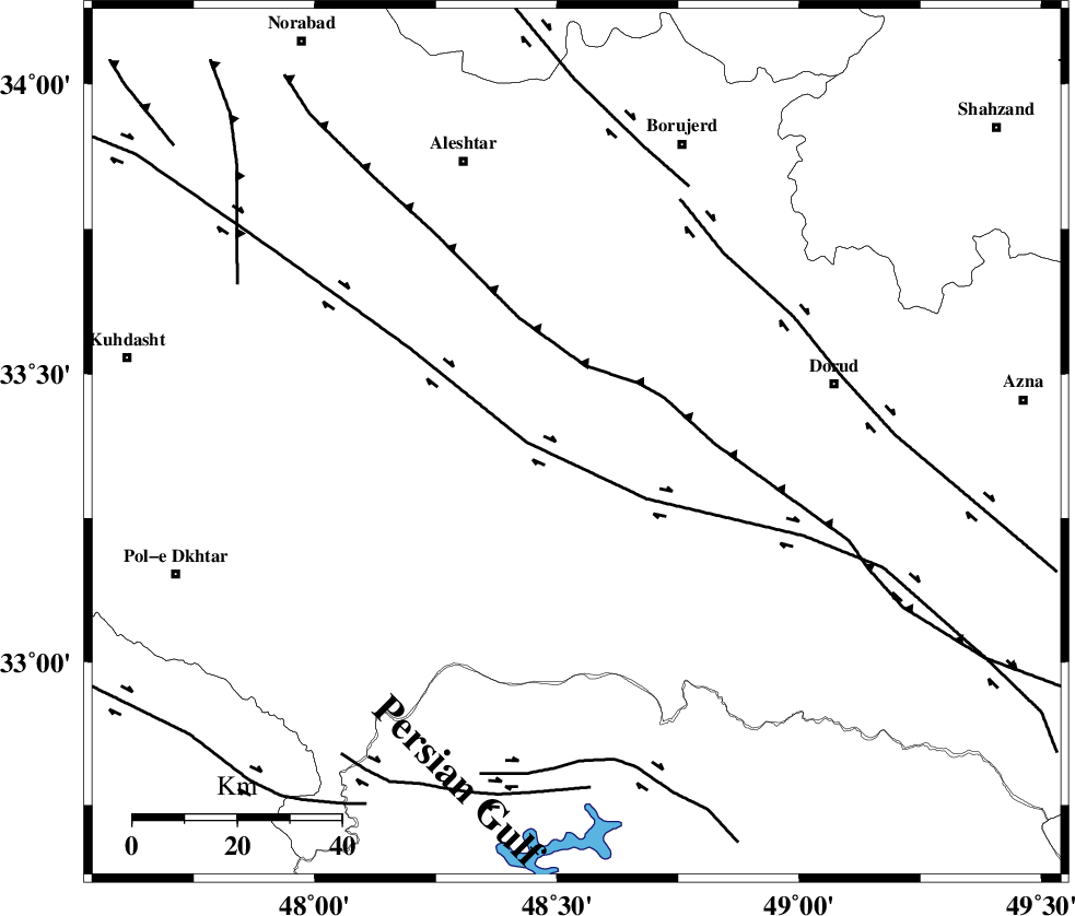
Faults within 150 km: |
|
| HZF4 (Length: 492 km) , Distance to epicenter: 9 km | |
| DORUD (Length: 100 km) , Distance to epicenter: 46 km | |
| MAIN_ZAGROS_R_F (Length: 1106 km) , Distance to epicenter: 53 km | |
| Number of Phases | 6 |
| RMS | 0.5 |
| Number of Stations | 6 |
| Error in Latitude | >12 km |
| Error in Longitude | 11.8 km |
| Error in Depth | 15 km |
Download waveform in seisan format
to download seisan software Click here
to access information about IIEES stations Click here
Amplitude | ||||||||
| UID | Agency | Station | Component | Amplitude | Period | Arrival Time | Proccessing Time | Signal Clip |
| 28113 | IIEES | ASAO | E | 819.4 | 0.6 | 2004-09-15 08:28:43 | 2006-03-15 11:56:00 | n |
| 28114 | IIEES | ASAO | N | 926.7 | 0.56 | 2004-09-15 08:28:46 | 2006-03-15 11:56:00 | n |
| 28115 | IIEES | SNGE | N | 1737.5 | 0.52 | 2004-09-15 08:28:49 | 2006-03-15 11:56:00 | n |
| 28116 | IIEES | THKV | E | 230.9 | 0.68 | 2004-09-15 08:29:35 | 2006-03-15 11:56:00 | n |
| 28117 | IIEES | THKV | N | 234 | 0.6 | 2004-09-15 08:29:41 | 2006-03-15 11:56:00 | n |
Phase | ||||||||||||
| Agency | Station | Component | Phase Type | Phase Quality | First Motion | Observed Arrival Time | Time Residual | Loc. Flag | Input Weight | Distance | Azimuth | |
| IIEES | ASAO | Z | PG | E | 2004-09-15 08:28:11 | -0.6 | y | 189 | 46 | |||
| IIEES | SNGE | Z | PG | E | 2004-09-15 08:28:17 | -0.1 | y | 220 | 330 | |||
| IIEES | THKV | Z | PN | E | 2004-09-15 08:28:33 | 0.6 | y | 354 | 37 | |||
| IIEES | NASN | Z | PN | E | 2004-09-15 08:28:39 | 0.5 | y | 403 | 98 | |||
| IIEES | GRMI | Z | PN | E | 2004-09-15 08:29:04 | 0.2 | y | 606 | 355 | |||
| IIEES | GHIR | Z | PN | E | 2004-09-15 08:29:15 | -0.6 | y | 706 | 142 | |||