
Magnitude |
:3 |
| Date & Time (UTC) | 2005-05-24 17:15:49.9 |
| Date & Time (Local) | 1384/3/3 21:45:49.9 |
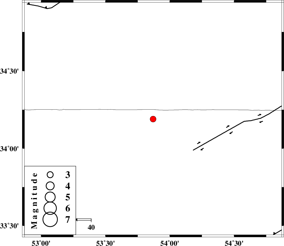
| Location | Lat:34.19 Lon: 53.87 |
| Region | |
Nearest Cities |
|
| 53 km North West of Jondaq, Esfahan Province | |
| 77 km North East of Maedan, Esfahan Province | |
| 79 km North West of Chupanan, Esfahan Province | |
| 99 km North East of Anarak, Esfahan Province | |
| 106 km North West of Farrokhi, Esfahan Province | |
| Depth | 17 km |
| Agency | |
Faults within 150 km: |
|
| DORUNEH_F (Length: 713 km) , Distance to epicenter: 36 km | |
| KUH_E_GUGERD_F (Length: 73 km) , Distance to epicenter: 94 km | |
| BIABANAK_F (Length: 162 km) , Distance to epicenter: 108 km | |
| Number of Phases | 7 |
| RMS | 0.3 |
| Number of Stations | 5 |
| Error in Latitude | >6.6 km |
| Error in Longitude | 7.3 km |
| Error in Depth | 11.3 km |
Download waveform in seisan format
to download seisan software Click here
to access information about IIEES stations Click here
Amplitude | ||||||||
| UID | Agency | Station | Component | Amplitude | Period | Arrival Time | Proccessing Time | Signal Clip |
| 5860 | IIEES | DAMV | E | 119.3 | 0.37 | 2005-05-24 17:17:18 | 2005-07-05 05:11:00 | n |
| 5861 | IIEES | ASAO | N | 41 | 0.64 | 2005-05-24 17:17:49 | 2005-07-05 05:11:00 | n |
| 5862 | IIEES | SNGE | N | 7.8 | 0.6 | 2005-05-24 17:19:00 | 2005-07-05 05:11:00 | n |
Phase | ||||||||||||
| Agency | Station | Component | Phase Type | Phase Quality | First Motion | Observed Arrival Time | Time Residual | Loc. Flag | Input Weight | Distance | Azimuth | |
| IIEES | DAMV | Z | PG | E | 2005-05-24 17:16:28 | -0.4 | y | 236.1 | 313 | |||
| IIEES | DAMV | N | SG | E | 2005-05-24 17:16:57 | 0.4 | y | 236.1 | 313 | |||
| IIEES | THKV | Z | PN | E | 2005-05-24 17:16:38 | 0 | y | 333.5 | 306 | |||
| IIEES | ASAO | Z | PN | E | 2005-05-24 17:16:41 | -0.5 | y | 355.8 | 278 | |||
| IIEES | ASAO | E | SG | E | 2005-05-24 17:17:29 | 0.1 | y | 355.8 | 278 | |||
| IIEES | KRBR | Z | PN | E | 2005-05-24 17:17:05 | 0.3 | y | 540.1 | 149 | |||
| IIEES | SNGE | Z | PN | E | 2005-05-24 17:17:13 | 0.3 | y | 606.2 | 281 | |||