
Magnitude |
:2.8 |
| Date & Time (UTC) | 2005-05-21 18:46:45.9 |
| Date & Time (Local) | 1384/2/31 23:16:45.9 |
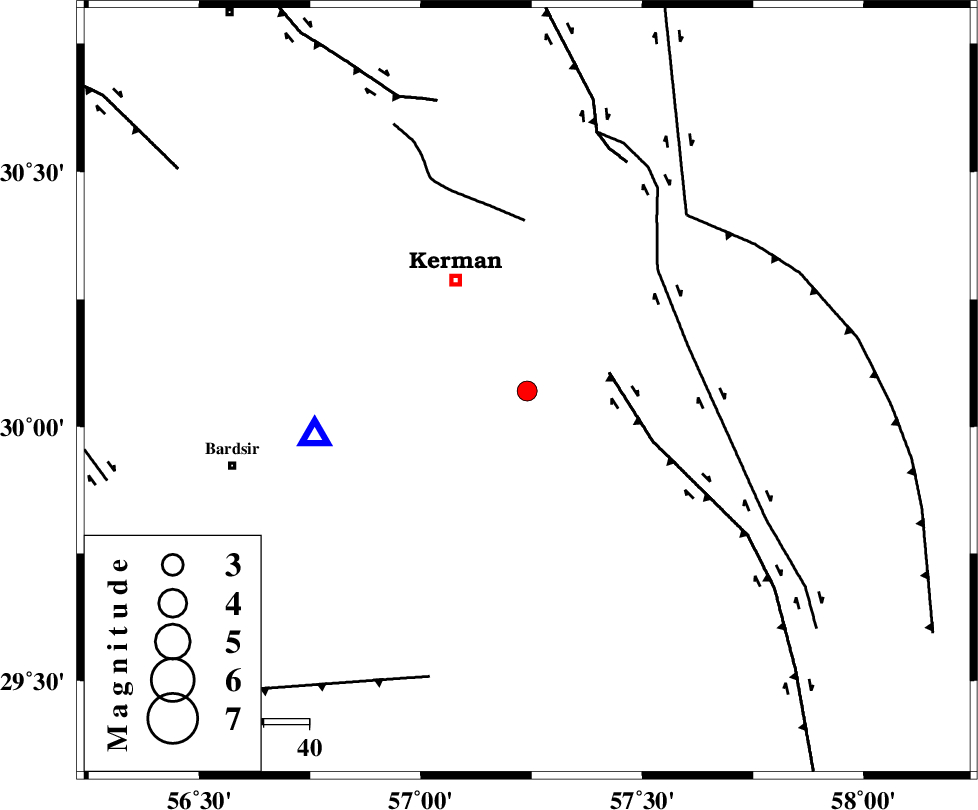
| Location | Lat:30.07 Lon: 57.24 |
| Region | |
Nearest Cities |
|
| 1 km of Mohiabad, Kerman Province | |
| 4 km North of Langar, Kerman Province | |
| 5 km North of Mahan, Kerman Province | |
| 7 km of Maheabad, Kerman Province | |
| 12 km North East of Jupar, Kerman Province | |
| Depth | 15 km |
| Agency | |
Faults within 150 km: |
|
| GOWK_F (Length: 152 km) , Distance to epicenter: 18 km | |
| GOLBAF_SIRCH_F (Length: 114 km) , Distance to epicenter: 36 km | |
| CHATRUD_F (Length: 37 km) , Distance to epicenter: 37 km | |
| Number of Phases | 4 |
| RMS | 0.1 |
| Number of Stations | 4 |
| Error in Latitude | >5.5 km |
| Error in Longitude | 2.3 km |
| Error in Depth | 0 km |
Download waveform in seisan format
to download seisan software Click here
to access information about IIEES stations Click here
Amplitude | ||||||||
| UID | Agency | Station | Component | Amplitude | Period | Arrival Time | Proccessing Time | Signal Clip |
| 5838 | IIEES | KRBR | E | 615.1 | 0.22 | 2005-05-21 18:47:11 | 2005-07-05 05:11:00 | n |
| 5839 | IIEES | BNDS | N | 36.9 | 0.56 | 2005-05-21 18:48:38 | 2005-07-05 05:11:00 | n |
| 5840 | IIEES | GHIR | N | 13.4 | 0.64 | 2005-05-21 18:49:13 | 2005-07-05 05:11:00 | n |
Phase | ||||||||||||
| Agency | Station | Component | Phase Type | Phase Quality | First Motion | Observed Arrival Time | Time Residual | Loc. Flag | Input Weight | Distance | Azimuth | |
| IIEES | KRBR | Z | PG | E | 2005-05-21 18:46:54 | -0.1 | y | 47.06 | 258 | |||
| IIEES | BNDS | Z | PN | E | 2005-05-21 18:47:32 | 0 | y | 314 | 200 | |||
| IIEES | ZHSF | Z | PN | E | 2005-05-21 18:47:36 | 0 | y | 345.7 | 98 | |||
| IIEES | GHIR | Z | PN | E | 2005-05-21 18:47:50 | 0.2 | y | 458.4 | 245 | |||