
Magnitude |
:3 |
| Date & Time (UTC) | 2005-05-03 12:21:03.3 |
| Date & Time (Local) | 1384/2/13 16:51:03.3 |
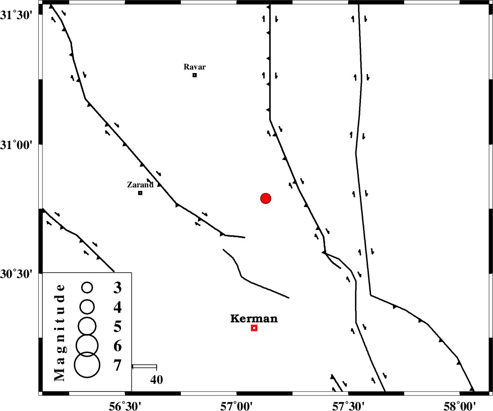
| Location | Lat:30.79 Lon: 57.13 |
| Region | |
Nearest Cities |
|
| 15 km North of Harjand, Kerman Province | |
| 15 km North East of Hejdak, Kerman Province | |
| 30 km North East of Chatrud, Kerman Province | |
| 30 km North East of Hutak, Kerman Province | |
| 34 km East of Hatkan, Kerman Province | |
| Depth | 18 km |
| Agency | |
Faults within 150 km: |
|
| LAKARKUH_F (Length: 138 km) , Distance to epicenter: 15 km | |
| KUHBANAN_F (Length: 189 km) , Distance to epicenter: 19 km | |
| CHATRUD_F (Length: 37 km) , Distance to epicenter: 28 km | |
| Number of Phases | 5 |
| RMS | 0.3 |
| Number of Stations | 3 |
| Error in Latitude | >6.4 km |
| Error in Longitude | 9.9 km |
| Error in Depth | 19.3 km |
Download waveform in seisan format
to download seisan software Click here
to access information about IIEES stations Click here
Amplitude | ||||||||
| UID | Agency | Station | Component | Amplitude | Period | Arrival Time | Proccessing Time | Signal Clip |
| 5655 | IIEES | KRBR | E | 705.7 | 0.16 | 2005-05-03 12:21:32 | 2005-07-05 05:11:00 | n |
| 5656 | IIEES | ZHSF | N | 12.8 | 0.52 | 2005-05-03 12:23:04 | 2005-07-05 05:11:00 | n |
| 5657 | IIEES | NASN | N | 23.5 | 0.6 | 2005-05-03 12:23:20 | 2005-07-05 05:11:00 | n |
Phase | ||||||||||||
| Agency | Station | Component | Phase Type | Phase Quality | First Motion | Observed Arrival Time | Time Residual | Loc. Flag | Input Weight | Distance | Azimuth | |
| IIEES | KRBR | Z | PG | E | 2005-05-03 12:21:20 | 0.6 | y | 96.68 | 202 | |||
| IIEES | KRBR | E | SG | E | 2005-05-03 12:21:31 | -0.4 | y | 96.68 | 202 | |||
| IIEES | ZHSF | Z | PN | E | 2005-05-03 12:21:57 | -0.1 | y | 374.8 | 110 | |||
| IIEES | NASN | Z | PN | E | 2005-05-03 12:22:08 | 0 | y | 465.6 | 300 | |||
| IIEES | NASN | N | SG | E | 2005-05-03 12:23:13 | -0.1 | y | 465.6 | 300 | |||