
Magnitude |
:3.2 |
| Date & Time (UTC) | 2005-04-06 18:27:11.8 |
| Date & Time (Local) | 1384/1/17 22:57:11.8 |
| Location | Lat:35.04 Lon: 45.8 |
| Region | |
Nearest Cities |
|
| 14 km West of Markhil, Kermanshah Province | |
| 26 km North West of Dehsheykh, Kermanshah Province | |
| 30 km North West of Bayangan, Kermanshah Province | |
| 31 km North of Tazehabad, Kermanshah Province | |
| 32 km North of Tappeh rash, Kermanshah Province | |
| Depth | 15 km |
| Agency | |
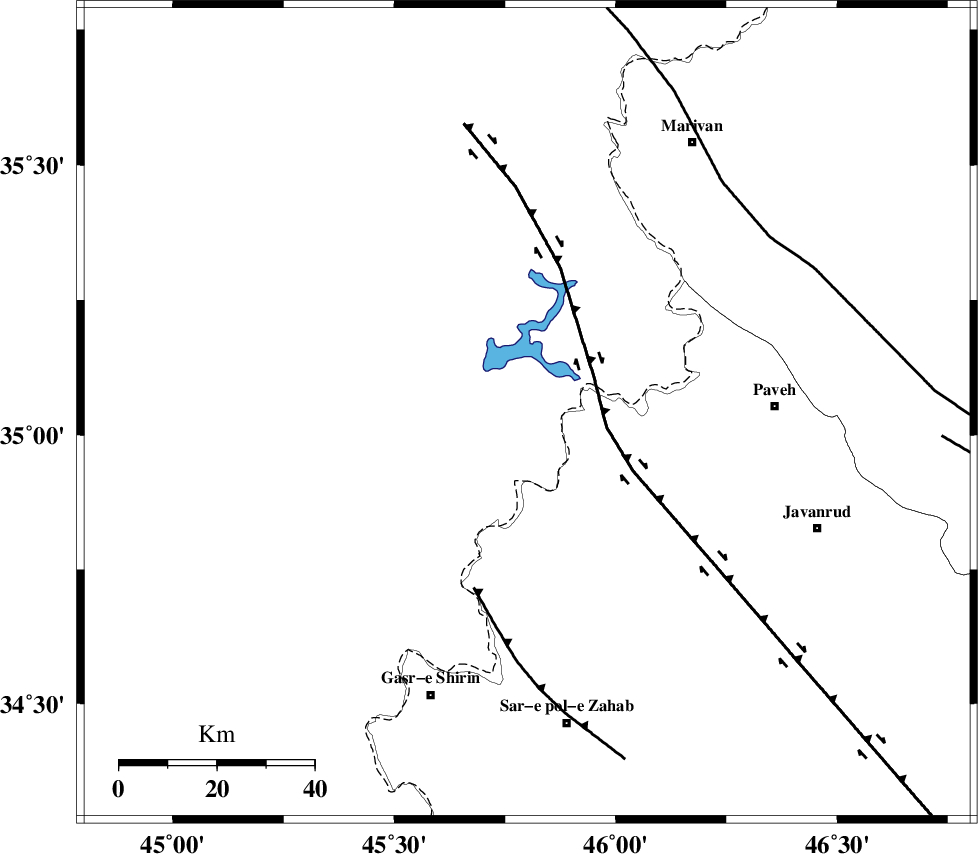
Faults within 150 km: |
|
| HZF4 (Length: 492 km) , Distance to epicenter: 16 km | |
| MFF8 (Length: 48 km) , Distance to epicenter: 38 km | |
| PIRANSHAHR_F (Length: 253 km) , Distance to epicenter: 62 km | |
| Number of Phases | 5 |
| RMS | 0.4 |
| Number of Stations | 4 |
| Error in Latitude | >36.9 km |
| Error in Longitude | 15.8 km |
| Error in Depth | 16.3 km |
Download waveform in seisan format
to download seisan software Click here
to access information about IIEES stations Click here
Amplitude | ||||||||
| UID | Agency | Station | Component | Amplitude | Period | Arrival Time | Proccessing Time | Signal Clip |
| 5459 | IIEES | SNGE | N | 873.4 | 0.56 | 2005-04-06 18:27:58 | 2005-07-05 05:11:00 | n |
| 5460 | IIEES | ASAO | N | 37.4 | 0.68 | 2005-04-06 18:29:21 | 2005-07-05 05:11:00 | n |
| 5461 | IIEES | DAMV | N | 7 | 0.4 | 2005-04-06 18:29:21 | 2005-07-05 05:11:00 | n |
Phase | ||||||||||||
| Agency | Station | Component | Phase Type | Phase Quality | First Motion | Observed Arrival Time | Time Residual | Loc. Flag | Input Weight | Distance | Azimuth | |
| IIEES | SNGE | Z | PG | E | 2005-04-06 18:27:34 | -0.5 | y | 141.4 | 87 | |||
| IIEES | SNGE | N | SG | E | 2005-04-06 18:27:52 | 0.1 | y | 141.4 | 87 | |||
| IIEES | ASAO | Z | PN | E | 2005-04-06 18:28:08 | 0.5 | y | 390.5 | 97 | |||
| IIEES | DAMV | Z | PN | E | 2005-04-06 18:28:30 | 0.2 | y | 564.9 | 82 | |||
| IIEES | NASN | Z | PN | E | 2005-04-06 18:28:45 | -0.4 | y | 693.8 | 109 | |||