
Magnitude |
:2.9 |
| Date & Time (UTC) | 2005-03-11 23:37:36.9 |
| Date & Time (Local) | 1383/12/22 03:07:36.9 |
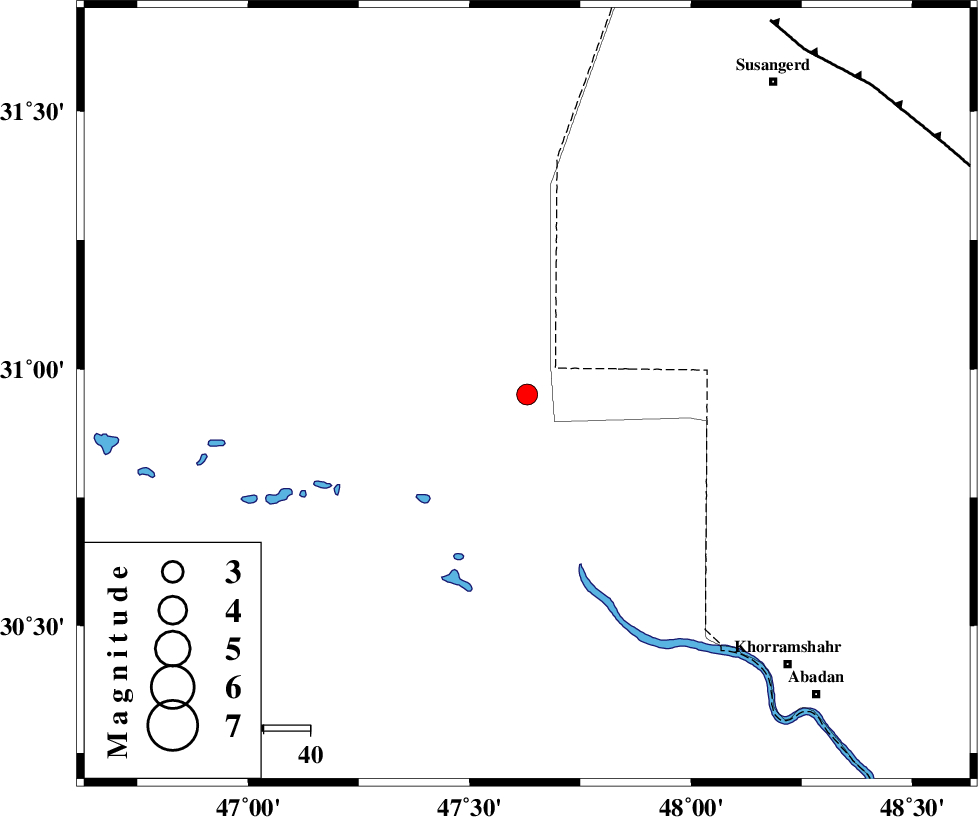
| Location | Lat:30.95 Lon: 47.63 |
| Region | |
Nearest Cities |
|
| 51 km North West of Al Basrah, Iraq Province | |
| 71 km South West of Hoveizeh, Khoozestan Province | |
| 72 km North West of Polno, Khoozestan Province | |
| 80 km North West of Darkhovin, Khoozestan Province | |
| 81 km North West of Khorramshahr, Khoozestan Province | |
| Depth | 18 km |
| Agency | |
Faults within 150 km: |
|
| AHVAZ_F (Length: 99 km) , Distance to epicenter: 95 km | |
| Number of Phases | 4 |
| RMS | 0.1 |
| Number of Stations | 3 |
| Error in Latitude | >8.2 km |
| Error in Longitude | 9.2 km |
| Error in Depth | 7.7 km |
Download waveform in seisan format
to download seisan software Click here
to access information about IIEES stations Click here
Amplitude | ||||||||
| UID | Agency | Station | Component | Amplitude | Period | Arrival Time | Proccessing Time | Signal Clip |
| 5254 | IIEES | SHGR | N | 191.3 | 0.3 | 2005-03-11 23:38:27 | 2005-07-05 05:11:00 | n |
| 5255 | IIEES | ASAO | N | 8.9 | 0.6 | 2005-03-11 23:39:59 | 2005-07-05 05:11:00 | n |
| 5256 | IIEES | SNGE | N | 19.8 | 0.46 | 2005-03-11 23:39:37 | 2005-07-05 05:11:00 | n |
Phase | ||||||||||||
| Agency | Station | Component | Phase Type | Phase Quality | First Motion | Observed Arrival Time | Time Residual | Loc. Flag | Input Weight | Distance | Azimuth | |
| IIEES | SHGR | Z | PG | E | 2005-03-11 23:38:05 | 0.1 | y | 170.2 | 40 | |||
| IIEES | SHGR | N | SG | E | 2005-03-11 23:38:25 | 0 | y | 170.2 | 40 | |||
| IIEES | ASAO | Z | PN | E | 2005-03-11 23:38:41 | -0.1 | y | 458.2 | 29 | |||
| IIEES | SNGE | Z | PN | E | 2005-03-11 23:38:41 | 0 | y | 460.6 | 357 | |||