
Magnitude |
:2.3 |
| Date & Time (UTC) | 2005-03-05 03:13:10.3 |
| Date & Time (Local) | 1383/12/15 06:43:10.3 |
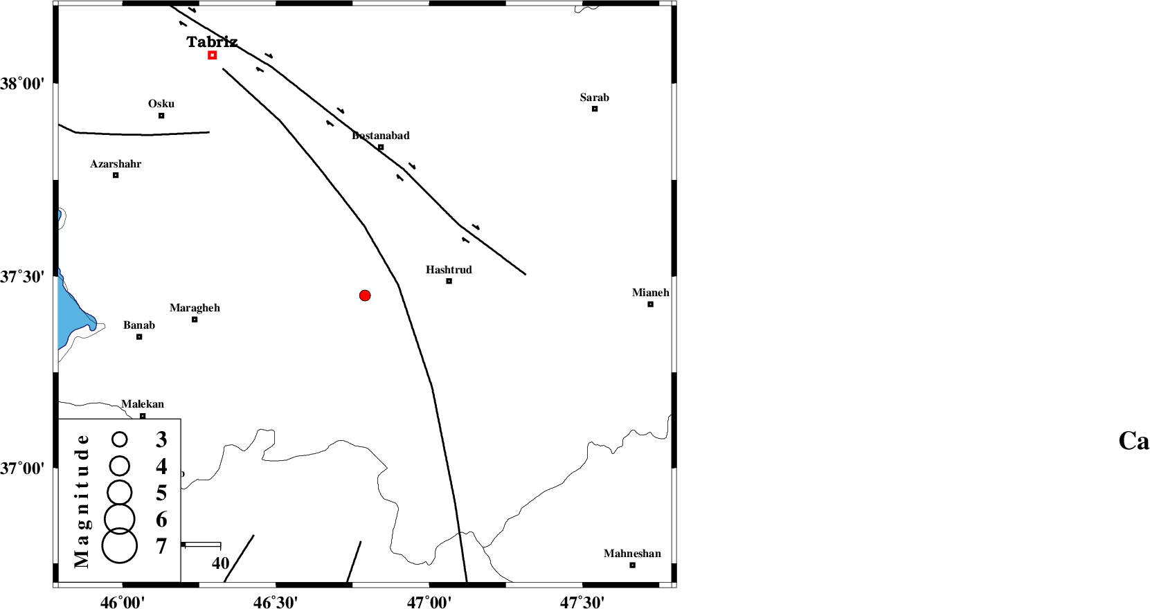
| Location | Lat:37.45 Lon: 46.79 |
| Region | |
Nearest Cities |
|
| 9 km of Zolbin, Azarbaijan Sharghi Province | |
| 11 km North of Nazarkahrizi, Azarbaijan Sharghi Province | |
| 11 km of Soluk, Azarbaijan Sharghi Province | |
| 12 km North East of Atashbeyk, Azarbaijan Sharghi Province | |
| 19 km North of Void, Azarbaijan Sharghi Province | |
| Depth | 14 km |
| Agency | |
Faults within 150 km: |
|
| N_TABRIZ_F1 (Length: 222 km) , Distance to epicenter: 34 km | |
| BOZQUSH (Length: 70 km) , Distance to epicenter: 48 km | |
| TAKHT_E_SOLAIMAN (Length: 63 km) , Distance to epicenter: 70 km | |
| Number of Phases | 4 |
| RMS | 0.1 |
| Number of Stations | 3 |
| Error in Latitude | >2.8 km |
| Error in Longitude | 7 km |
| Error in Depth | 12.9 km |
Download waveform in seisan format
to download seisan software Click here
to access information about IIEES stations Click here
Amplitude | ||||||||
| UID | Agency | Station | Component | Amplitude | Period | Arrival Time | Proccessing Time | Signal Clip |
| 5177 | IIEES | GRMI | N | 24.3 | 0.29 | 2005-03-05 03:14:05 | 2005-07-05 05:11:00 | n |
| 5178 | IIEES | SNGE | N | 15.3 | 0.24 | 2005-03-05 03:14:30 | 2005-07-05 05:11:00 | n |
| 5179 | IIEES | MAKU | N | 14.6 | 0.36 | 2005-03-05 03:14:28 | 2005-07-05 05:11:00 | n |
Phase | ||||||||||||
| Agency | Station | Component | Phase Type | Phase Quality | First Motion | Observed Arrival Time | Time Residual | Loc. Flag | Input Weight | Distance | Azimuth | |
| IIEES | GRMI | Z | PG | E | 2005-03-05 03:13:39 | -0.1 | y | 179.8 | 32 | |||
| IIEES | GRMI | N | SG | E | 2005-03-05 03:14:01 | 0.1 | y | 179.8 | 32 | |||
| IIEES | SNGE | Z | PN | E | 2005-03-05 03:13:51 | 0 | y | 265.7 | 169 | |||
| IIEES | MAKU | Z | PN | E | 2005-03-05 03:13:53 | 0 | y | 280.8 | 320 | |||