
Magnitude |
:2.4 |
| Date & Time (UTC) | 2005-02-10 05:39:32.9 |
| Date & Time (Local) | 1383/11/22 09:09:32.9 |
| Location | Lat:37.19 Lon: 47.49 |
| Region | |
Nearest Cities |
|
| 9 km North of Anche rish, Azarbaijan Sharghi Province | |
| 13 km South of Bashmaq, Azarbaijan Sharghi Province | |
| 16 km South West of Kangavar, Azarbaijan Sharghi Province | |
| 22 km South West of Sheikhdarabad, Azarbaijan Sharghi Province | |
| 23 km North West of Quyujaq, Azarbaijan Sharghi Province | |
| Depth | 14 km |
| Agency | |
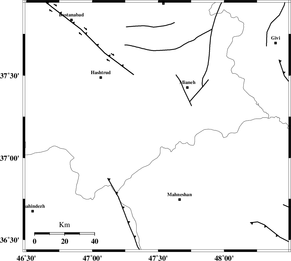
Faults within 150 km: |
|
| BOZQUSH (Length: 70 km) , Distance to epicenter: 27 km | |
| N_TABRIZ_F1 (Length: 222 km) , Distance to epicenter: 38 km | |
| TAKHT_E_SOLAIMAN (Length: 63 km) , Distance to epicenter: 48 km | |
| Number of Phases | 5 |
| RMS | 0.3 |
| Number of Stations | 4 |
| Error in Latitude | >3 km |
| Error in Longitude | 10.9 km |
| Error in Depth | 10.6 km |
Download waveform in seisan format
to download seisan software Click here
to access information about IIEES stations Click here
Amplitude | ||||||||
| UID | Agency | Station | Component | Amplitude | Period | Arrival Time | Proccessing Time | Signal Clip |
| 4736 | IIEES | GRMI | N | 48.9 | 0.2 | 2005-02-10 05:40:26 | 2005-07-05 05:11:00 | n |
| 4737 | IIEES | SNGE | E | 24.2 | 0.44 | 2005-02-10 05:40:43 | 2005-07-05 05:11:00 | n |
| 4738 | IIEES | MAKU | N | 8.2 | 0.56 | 2005-02-10 05:41:12 | 2005-07-05 05:11:00 | n |
Phase | ||||||||||||
| Agency | Station | Component | Phase Type | Phase Quality | First Motion | Observed Arrival Time | Time Residual | Loc. Flag | Input Weight | Distance | Azimuth | |
| IIEES | GRMI | Z | PG | E | 2005-02-10 05:40:02 | -0.5 | y | 183.7 | 11 | |||
| IIEES | GRMI | N | SG | E | 2005-02-10 05:40:25 | 0.2 | y | 183.7 | 11 | |||
| IIEES | SNGE | Z | PG | E | 2005-02-10 05:40:10 | -0.2 | y | 232.6 | 183 | |||
| IIEES | MAKU | Z | PN | E | 2005-02-10 05:40:23 | 0.2 | y | 343.6 | 315 | |||
| IIEES | ASAO | Z | PN | E | 2005-02-10 05:40:27 | 0.3 | y | 371.8 | 141 | |||