
Magnitude |
:2.3 |
| Date & Time (UTC) | 2005-02-09 17:37:36.4 |
| Date & Time (Local) | 1383/11/21 21:07:36.4 |
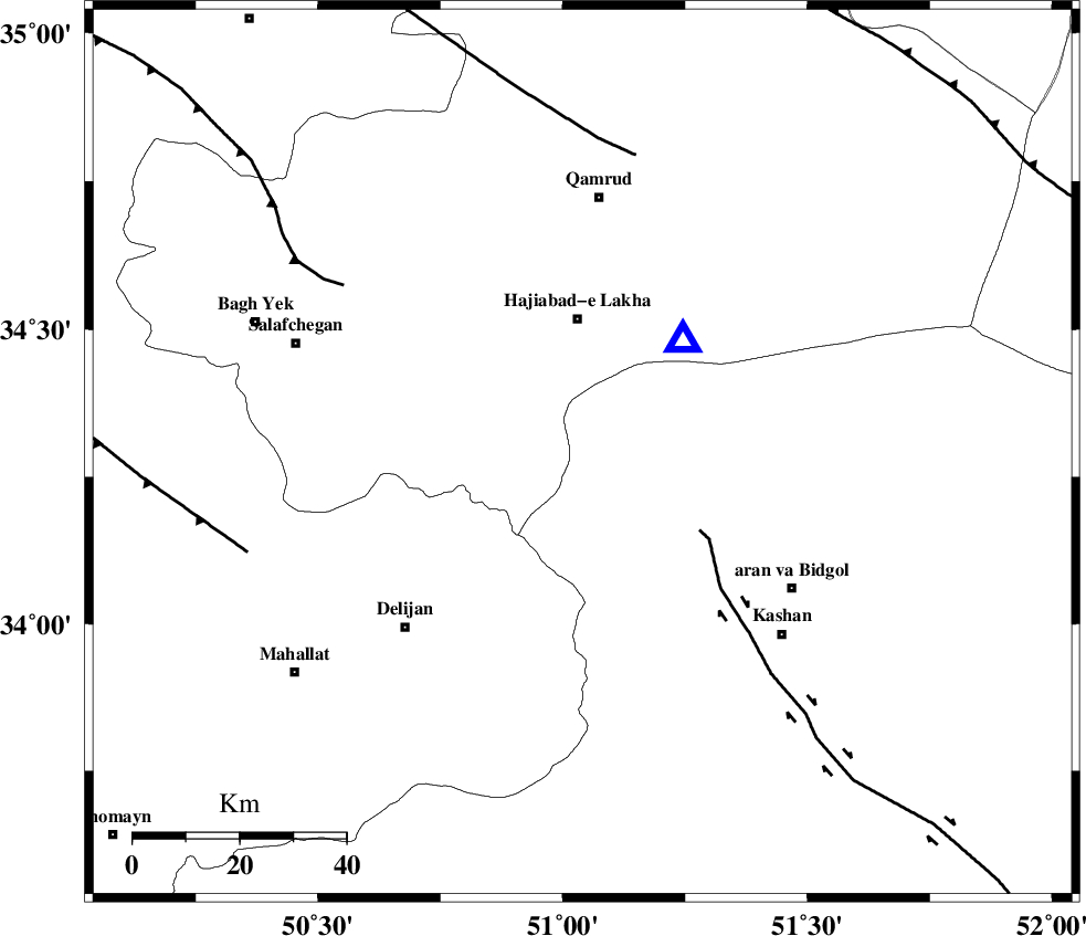
| Location | Lat:34.29 Lon: 51.04 |
| Region | |
Nearest Cities |
|
| 7 km North of Yahyaabad, Esfahan Province | |
| 18 km East of Kahak, Qom Province | |
| 20 km North of Armak, Esfahan Province | |
| 24 km North West of Mashgan, Esfahan Province | |
| 25 km South of Hajiabad-e lakha, Qom Province | |
| Depth | 34 km |
| Agency | |
Faults within 150 km: |
|
| KASHAN_F (Length: 44 km) , Distance to epicenter: 26 km | |
| INDES_F (Length: 98 km) , Distance to epicenter: 55 km | |
| KUSHK_E_NOSRAT_F (Length: 230 km) , Distance to epicenter: 57 km | |
| Number of Phases | 6 |
| RMS | 0.2 |
| Number of Stations | 4 |
| Error in Latitude | >2.7 km |
| Error in Longitude | 2.4 km |
| Error in Depth | 5 km |
Download waveform in seisan format
to download seisan software Click here
to access information about IIEES stations Click here
Amplitude | ||||||||
| UID | Agency | Station | Component | Amplitude | Period | Arrival Time | Proccessing Time | Signal Clip |
| 4730 | IIEES | DAMV | N | 50.8 | 0.16 | 2005-02-09 17:38:28 | 2005-07-05 05:11:00 | n |
| 4731 | IIEES | SNGE | N | 4.7 | 0.64 | 2005-02-09 17:39:26 | 2005-07-05 05:11:00 | n |
Phase | ||||||||||||
| Agency | Station | Component | Phase Type | Phase Quality | First Motion | Observed Arrival Time | Time Residual | Loc. Flag | Input Weight | Distance | Azimuth | |
| IIEES | ASAO | Z | PG | E | 2005-02-09 17:37:53 | -0.1 | y | 97.74 | 287 | |||
| IIEES | ASAO | N | SG | E | 2005-02-09 17:38:05 | 0.1 | y | 97.74 | 287 | |||
| IIEES | DAMV | Z | PG | E | 2005-02-09 17:38:04 | 0 | y | 170.9 | 29 | |||
| IIEES | NASN | Z | PG | E | 2005-02-09 17:38:13 | -0.3 | y | 233 | 135 | |||
| IIEES | NASN | N | SG | E | 2005-02-09 17:38:41 | 0.2 | y | 233 | 135 | |||
| IIEES | SNGE | Z | PN | E | 2005-02-09 17:38:25 | 0 | y | 350.1 | 286 | |||