
Magnitude |
:3.1 |
| Date & Time (UTC) | 2005-02-09 13:07:49.5 |
| Date & Time (Local) | 1383/11/21 16:37:49.5 |
| Location | Lat:33.39 Lon: 47.91 |
| Region | |
Nearest Cities |
|
| 6 km North of Maeulan, Lorestan Province | |
| 16 km South West of Mahmudvand, Lorestan Province | |
| 23 km South West of Sarabboreh, Lorestan Province | |
| 23 km West of Godar-e mahmudvand, Lorestan Province | |
| 24 km North East of Morani, Lorestan Province | |
| Depth | 14 km |
| Agency | |
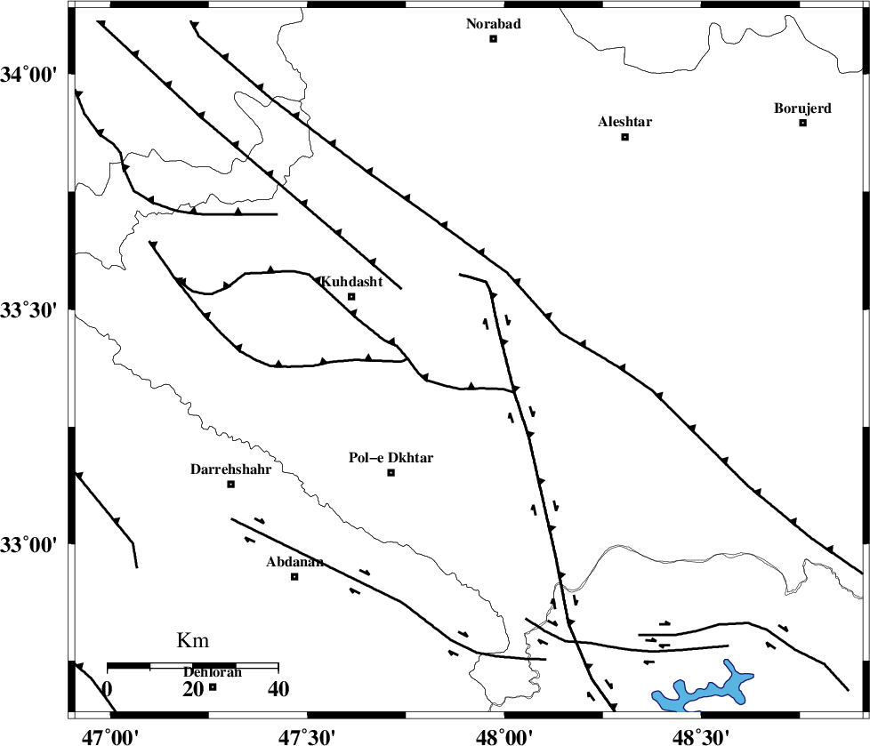
Faults within 150 km: |
|
| HZF4 (Length: 492 km) , Distance to epicenter: 31 km | |
| BALARUD_F_Z1 (Length: 87 km) , Distance to epicenter: 59 km | |
| BALARUD_F_Z3 (Length: 53 km) , Distance to epicenter: 63 km | |
| Number of Phases | 6 |
| RMS | 0.1 |
| Number of Stations | 5 |
| Error in Latitude | >1.4 km |
| Error in Longitude | 2.6 km |
| Error in Depth | 5.5 km |
Download waveform in seisan format
to download seisan software Click here
to access information about IIEES stations Click here
Amplitude | ||||||||
| UID | Agency | Station | Component | Amplitude | Period | Arrival Time | Proccessing Time | Signal Clip |
| 4726 | IIEES | SHGR | N | 359.2 | 0.68 | 2005-02-09 13:08:40 | 2005-07-05 05:11:00 | n |
| 4727 | IIEES | SHGO | N | 231.6 | 0.7 | 2005-02-09 13:08:40 | 2005-07-05 05:11:00 | n |
| 4728 | IIEES | SNGE | N | 273.1 | 0.44 | 2005-02-09 13:08:51 | 2005-07-05 05:11:00 | n |
| 4729 | IIEES | ASAO | N | 92.6 | 0.64 | 2005-02-09 13:09:02 | 2005-07-05 05:11:00 | n |
Phase | ||||||||||||
| Agency | Station | Component | Phase Type | Phase Quality | First Motion | Observed Arrival Time | Time Residual | Loc. Flag | Input Weight | Distance | Azimuth | |
| IIEES | SHGO | Z | PG | E | 2005-02-09 13:08:16 | 0 | y | 164.4 | 149 | |||
| IIEES | SHGR | Z | PG | E | 2005-02-09 13:08:16 | 0 | y | 164.4 | 149 | |||
| IIEES | SNGE | Z | PG | E | 2005-02-09 13:08:21 | 0 | y | 196.3 | 345 | |||
| IIEES | ASAO | Z | PG | E | 2005-02-09 13:08:27 | -0.1 | y | 233.9 | 56 | |||
| IIEES | ASAO | N | SG | E | 2005-02-09 13:08:55 | 0 | y | 233.9 | 56 | |||
| IIEES | NASN | Z | PN | E | 2005-02-09 13:08:55 | 0.2 | y | 461.6 | 97 | |||