
Magnitude |
:2.5 |
| Date & Time (UTC) | 2005-02-06 19:41:23.7 |
| Date & Time (Local) | 1383/11/18 23:11:23.7 |
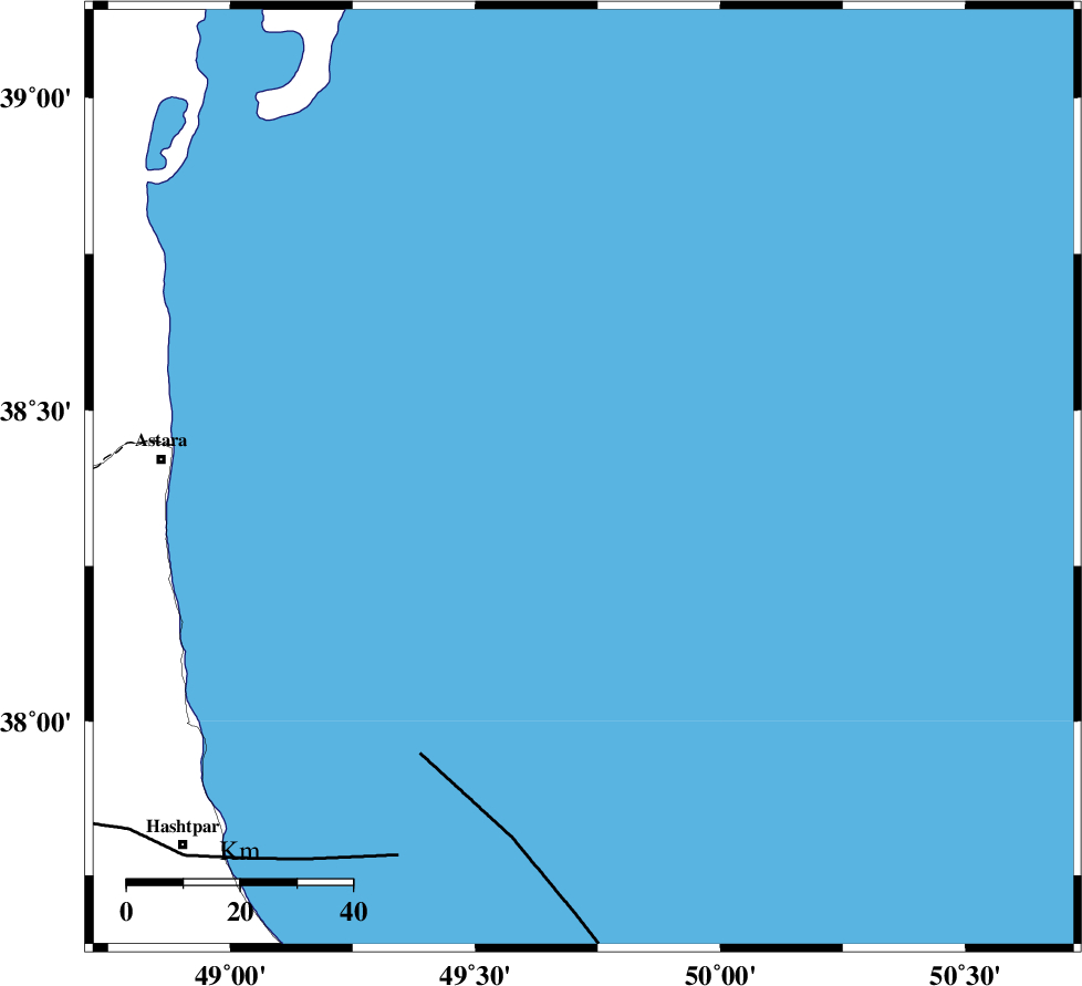
| Location | Lat:38.39 Lon: 49.72 |
| Region | |
Nearest Cities |
|
| 75 km East of Astara, Gilan Province | |
| 76 km North East of Londovil, Gilan Province | |
| 77 km North East of Hariq, Gilan Province | |
| 83 km North East of Lisar, Gilan Province | |
| 92 km North East of Chelonasr, Gilan Province | |
| Depth | 14 km |
| Agency | |
Faults within 150 km: |
|
| TALESH_F (Length: 258 km) , Distance to epicenter: 75 km | |
| SANGAVAR_F (Length: 61 km) , Distance to epicenter: 103 km | |
| BOZQUSH (Length: 70 km) , Distance to epicenter: 133 km | |
| Number of Phases | 6 |
| RMS | 0.3 |
| Number of Stations | 3 |
| Error in Latitude | >3.6 km |
| Error in Longitude | 3.6 km |
| Error in Depth | 0 km |
Download waveform in seisan format
to download seisan software Click here
to access information about IIEES stations Click here
Amplitude | ||||||||
| UID | Agency | Station | Component | Amplitude | Period | Arrival Time | Proccessing Time | Signal Clip |
| 4698 | IIEES | SNGE | N | 7.3 | 0.56 | 2005-02-06 19:43:30 | 2005-07-05 05:11:00 | n |
| 4699 | IIEES | ASAO | N | 7 | 0.17 | 2005-02-06 19:43:35 | 2005-07-05 05:11:00 | n |
Phase | ||||||||||||
| Agency | Station | Component | Phase Type | Phase Quality | First Motion | Observed Arrival Time | Time Residual | Loc. Flag | Input Weight | Distance | Azimuth | |
| IIEES | DAMV | Z | PN | E | 2005-02-06 19:42:17 | 0 | y | 366.1 | 146 | |||
| IIEES | DAMV | N | SG | E | 2005-02-06 19:43:11 | -0.2 | y | 366.1 | 146 | |||
| IIEES | SNGE | Z | PN | E | 2005-02-06 19:42:24 | 0.2 | y | 422.4 | 211 | |||
| IIEES | SNGE | N | SG | E | 2005-02-06 19:43:28 | -0.3 | y | 422.4 | 211 | |||
| IIEES | ASAO | Z | PN | E | 2005-02-06 19:42:24 | -0.1 | y | 427.1 | 176 | |||
| IIEES | ASAO | E | SG | E | 2005-02-06 19:43:30 | 0.4 | y | 427.1 | 176 | |||