
Magnitude |
:2.7 |
| Date & Time (UTC) | 2005-02-01 09:30:16.3 |
| Date & Time (Local) | 1383/11/13 13:00:16.3 |
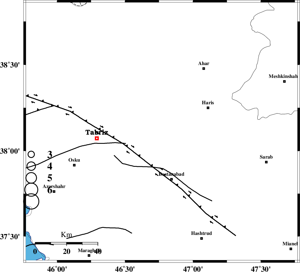
| Location | Lat:38.11 Lon: 46.77 |
| Region | |
Nearest Cities |
|
| 16 km South of Bilverdi, Azarbaijan Sharghi Province | |
| 17 km West of Bakhshayesh, Azarbaijan Sharghi Province | |
| 17 km East of Khvajeh, Azarbaijan Sharghi Province | |
| 19 km North West of Koluofogh, Azarbaijan Sharghi Province | |
| 23 km North of Yusefabad, Azarbaijan Sharghi Province | |
| Depth | 46 km |
| Agency | |
Faults within 150 km: |
|
| N_TABRIZ_F1 (Length: 222 km) , Distance to epicenter: 23 km | |
| BOZQUSH (Length: 70 km) , Distance to epicenter: 55 km | |
| N_TABRIZ_F2 (Length: 52 km) , Distance to epicenter: 71 km | |
| Number of Phases | 4 |
| RMS | 0.1 |
| Number of Stations | 3 |
| Error in Latitude | >25.6 km |
| Error in Longitude | 7.7 km |
| Error in Depth | 44.9 km |
Download waveform in seisan format
to download seisan software Click here
to access information about IIEES stations Click here
Amplitude | ||||||||
| UID | Agency | Station | Component | Amplitude | Period | Arrival Time | Proccessing Time | Signal Clip |
| 4636 | IIEES | GRMI | N | 252.6 | 0.2 | 2005-02-01 09:30:56 | 2005-07-05 05:11:00 | n |
| 4637 | IIEES | MAKU | E | 28.7 | 0.5 | 2005-02-01 09:31:23 | 2005-07-05 05:11:00 | n |
Phase | ||||||||||||
| Agency | Station | Component | Phase Type | Phase Quality | First Motion | Observed Arrival Time | Time Residual | Loc. Flag | Input Weight | Distance | Azimuth | |
| IIEES | GRMI | Z | PG | E | 2005-02-01 09:30:37 | 0 | y | 125.8 | 51 | |||
| IIEES | MAKU | Z | PG | E | 2005-02-01 09:30:53 | 0.1 | y | 228.2 | 308 | |||
| IIEES | MAKU | N | SG | E | 2005-02-01 09:31:20 | -0.1 | y | 228.2 | 308 | |||
| IIEES | SNGE | Z | PN | E | 2005-02-01 09:31:03 | 0 | y | 338.2 | 171 | |||