
Magnitude |
:3.7 |
| Date & Time (UTC) | 2005-01-24 09:57:28.3 |
| Date & Time (Local) | 1383/11/5 13:27:28.3 |
| Location | Lat:31.63 Lon: 51.11 |
| Region | |
Nearest Cities |
|
| 10 km North of Aluni, Chaharmahal Bakhtiari Province | |
| 24 km North West of Vanak, Esfahan Province | |
| 26 km South of Gandoman, Chaharmahal Bakhtiari Province | |
| 30 km East of Armand-e olia, Chaharmahal Bakhtiari Province | |
| 32 km North East of Lordegan, Chaharmahal Bakhtiari Province | |
| Depth | 14 km |
| Agency | |
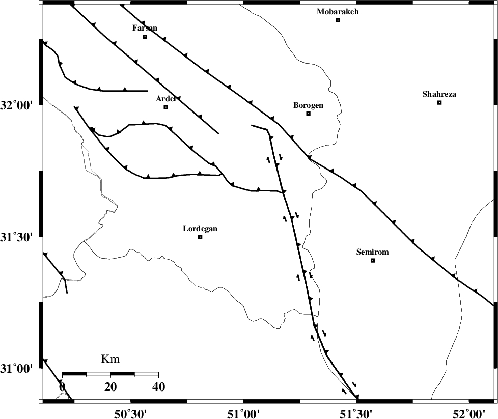
Faults within 150 km: |
|
| DOPOLAN_F (Length: 107 km) , Distance to epicenter: 5 km | |
| DENA_F (Length: 137 km) , Distance to epicenter: 7 km | |
| SABZKUH_F (Length: 67 km) , Distance to epicenter: 23 km | |
| Number of Phases | 9 |
| RMS | 0.3 |
| Number of Stations | 8 |
| Error in Latitude | >4 km |
| Error in Longitude | 2.8 km |
| Error in Depth | 7.1 km |
Download waveform in seisan format
to download seisan software Click here
to access information about IIEES stations Click here
Amplitude | ||||||||
| UID | Agency | Station | Component | Amplitude | Period | Arrival Time | Proccessing Time | Signal Clip |
| 4569 | IIEES | SHGR | N | 738.5 | 0.72 | 2005-01-24 09:58:45 | 2005-07-05 05:11:00 | n |
| 4570 | IIEES | GHIR | N | 109.7 | 0.52 | 2005-01-24 09:59:42 | 2005-07-05 05:11:00 | n |
| 4571 | IIEES | SNGE | N | 55.1 | 0.68 | 2005-01-24 10:00:26 | 2005-07-05 05:11:00 | n |
| 4572 | IIEES | KRBR | N | 31.6 | 0.64 | 2005-01-24 10:00:26 | 2005-07-05 05:11:00 | n |
| 4573 | IIEES | BNDS | N | 27.9 | 0.68 | 2005-01-24 10:00:25 | 2005-07-05 05:11:00 | n |
Phase | ||||||||||||
| Agency | Station | Component | Phase Type | Phase Quality | First Motion | Observed Arrival Time | Time Residual | Loc. Flag | Input Weight | Distance | Azimuth | |
| IIEES | NASN | Z | PG | E | 2005-01-24 09:58:02 | -0.1 | y | 206 | 51 | |||
| IIEES | NASN | E | SG | E | 2005-01-24 09:58:26 | -0.2 | y | 206 | 51 | |||
| IIEES | SHGR | Z | PG | E | 2005-01-24 09:58:04 | -0.1 | y | 224.6 | 284 | |||
| IIEES | SHGO | Z | PG | E | 2005-01-24 09:58:04 | -0.1 | y | 224.6 | 284 | |||
| IIEES | GHIR | Z | PN | E | 2005-01-24 09:58:27 | 0 | y | 412.9 | 153 | |||
| IIEES | DAMV | Z | PN | E | 2005-01-24 09:58:32 | 0.6 | y | 450.6 | 10 | |||
| IIEES | SNGE | Z | PN | E | 2005-01-24 09:58:40 | -0.2 | y | 519.4 | 319 | |||
| IIEES | KRBR | Z | PN | E | 2005-01-24 09:58:47 | 0.3 | y | 570.9 | 107 | |||
| IIEES | BNDS | Z | PN | E | 2005-01-24 09:59:00 | -0.4 | y | 678.8 | 132 | |||