
Magnitude |
:2.5 |
| Date & Time (UTC) | 2005-01-06 10:04:01.3 |
| Date & Time (Local) | 1383/10/17 13:34:01.3 |
| Location | Lat:34.08 Lon: 52.17 |
| Region | |
Nearest Cities |
|
| 37 km South East of Marnejab, Esfahan Province | |
| 37 km North East of Hoseynabad, Esfahan Province | |
| 40 km North East of Abuzeidabad, Esfahan Province | |
| 49 km North East of Arisman, Esfahan Province | |
| 57 km North of Mughar, Esfahan Province | |
| Depth | 18 km |
| Agency | |
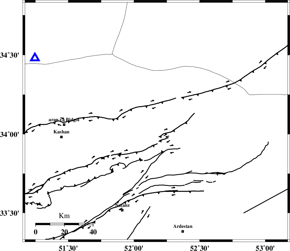
Faults within 150 km: |
|
| ZEFREH_F (Length: 124 km) , Distance to epicenter: 60 km | |
| SIAHKUH_F (Length: 154 km) , Distance to epicenter: 63 km | |
| KASHAN_F (Length: 44 km) , Distance to epicenter: 67 km | |
| Number of Phases | 5 |
| RMS | 0.1 |
| Number of Stations | 3 |
| Error in Latitude | >1.4 km |
| Error in Longitude | 1.8 km |
| Error in Depth | 0 km |
Download waveform in seisan format
to download seisan software Click here
to access information about IIEES stations Click here
Amplitude | ||||||||
| UID | Agency | Station | Component | Amplitude | Period | Arrival Time | Proccessing Time | Signal Clip |
| 4425 | IIEES | DAMV | N | 56 | 0.12 | 2005-01-06 10:04:54 | 2005-07-05 05:11:00 | n |
| 4426 | IIEES | DAMV | E | 135.8 | 0.12 | 2005-01-06 10:04:54 | 2005-07-05 05:11:00 | n |
| 4427 | IIEES | ASAO | E | 24.8 | 0.35 | 2005-01-06 10:05:03 | 2005-07-05 05:11:00 | n |
Phase | ||||||||||||
| Agency | Station | Component | Phase Type | Phase Quality | First Motion | Observed Arrival Time | Time Residual | Loc. Flag | Input Weight | Distance | Azimuth | |
| IIEES | NASN | Z | PG | E | 2005-01-06 10:04:27 | 0 | y | 153.6 | 157 | |||
| IIEES | NASN | N | SG | E | 2005-01-06 10:04:45 | 0 | y | 153.6 | 157 | |||
| IIEES | DAMV | Z | PG | E | 2005-01-06 10:04:30 | 0 | y | 173.4 | 354 | |||
| IIEES | ASAO | Z | PG | E | 2005-01-06 10:04:34 | -0.2 | y | 203.9 | 285 | |||
| IIEES | ASAO | E | SG | E | 2005-01-06 10:04:59 | 0.1 | y | 203.9 | 285 | |||