
Magnitude |
:3.3 |
| Date & Time (UTC) | 2005-06-28 22:11:37.9 |
| Date & Time (Local) | 1384/4/8 02:41:37.9 |
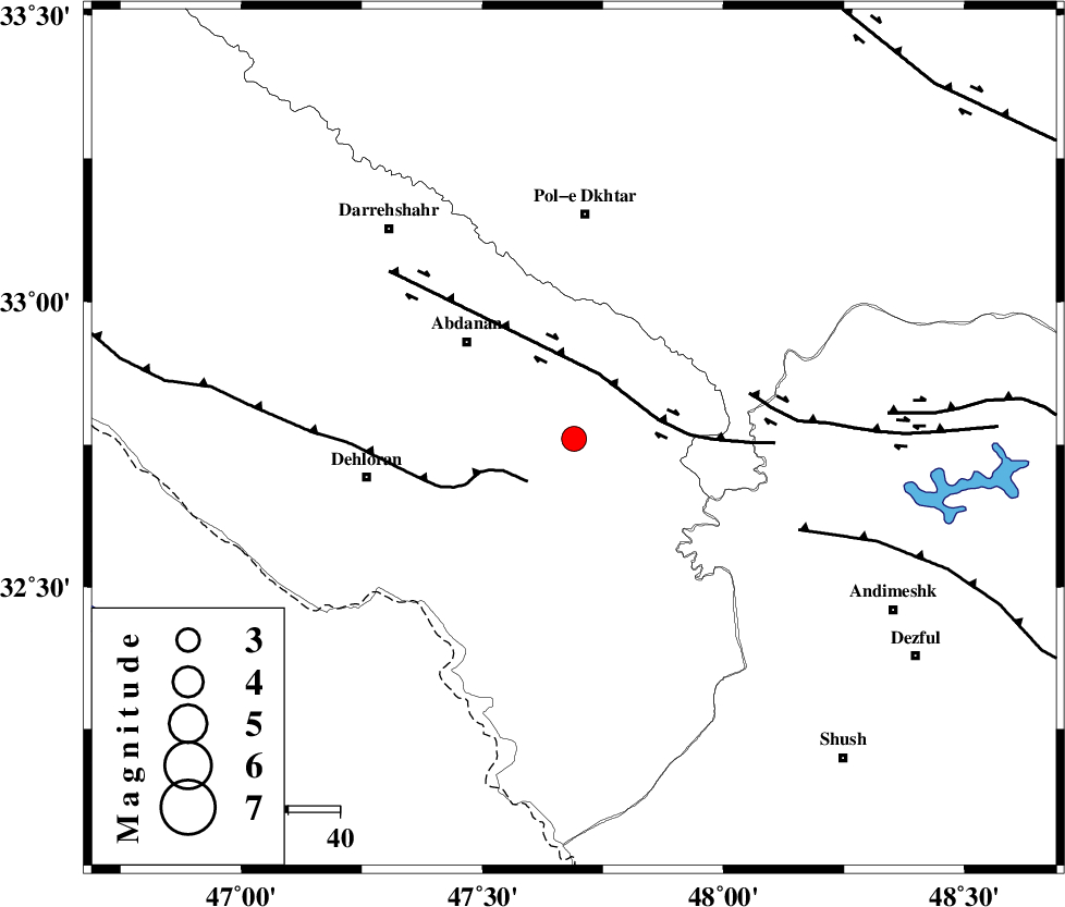
| Location | Lat:32.76 Lon: 47.69 |
| Region | |
Nearest Cities |
|
| 19 km South East of Sarabbagh, Ilam Province | |
| 28 km South East of Abdanan, Ilam Province | |
| 37 km South of Sarab hammam, Lorestan Province | |
| 39 km North East of Musian, Ilam Province | |
| 41 km North East of Dehloran, Ilam Province | |
| Depth | 14 km |
| Agency | |
Faults within 150 km: |
|
| MFF6 (Length: 144 km) , Distance to epicenter: 12 km | |
| BALARUD_F_Z1 (Length: 87 km) , Distance to epicenter: 14 km | |
| BALARUD_F_Z3 (Length: 53 km) , Distance to epicenter: 35 km | |
| Number of Phases | 7 |
| RMS | 0.3 |
| Number of Stations | 5 |
| Error in Latitude | >3.1 km |
| Error in Longitude | 5.3 km |
| Error in Depth | 6.5 km |
Download waveform in seisan format
to download seisan software Click here
to access information about IIEES stations Click here
Amplitude | ||||||||
| UID | Agency | Station | Component | Amplitude | Period | Arrival Time | Proccessing Time | Signal Clip |
| 4354 | IIEES | SHGR | N | 528.9 | 0.6 | 2005-06-28 22:12:43 | 2005-07-05 05:11:00 | n |
| 4355 | IIEES | ASAO | N | 175.5 | 0.6 | 2005-06-28 22:13:09 | 2005-07-05 05:11:00 | n |
| 4356 | IIEES | DAMV | N | 21.6 | 0.72 | 2005-06-28 22:14:12 | 2005-07-05 05:11:00 | n |
Phase | ||||||||||||
| Agency | Station | Component | Phase Type | Phase Quality | First Motion | Observed Arrival Time | Time Residual | Loc. Flag | Input Weight | Distance | Azimuth | |
| IIEES | SHGR | Z | PG | E | 2005-06-28 22:11:59 | 0.1 | y | 127.1 | 125 | |||
| IIEES | SNGE | Z | PN | E | 2005-06-28 22:12:18 | 0.1 | y | 260.3 | 353 | |||
| IIEES | SNGE | E | SG | E | 2005-06-28 22:12:51 | -0.1 | y | 260.3 | 353 | |||
| IIEES | ASAO | Z | PN | E | 2005-06-28 22:12:22 | 0.4 | y | 293.3 | 47 | |||
| IIEES | ASAO | N | SG | E | 2005-06-28 22:13:00 | 0 | y | 293.3 | 47 | |||
| IIEES | NASN | Z | PN | E | 2005-06-28 22:12:44 | -0.5 | y | 479.2 | 88 | |||
| IIEES | DAMV | Z | PN | E | 2005-06-28 22:12:48 | -0.1 | y | 506.5 | 50 | |||