
Magnitude |
:4.5 |
| Date & Time (UTC) | 2005-06-18 09:31:50.3 |
| Date & Time (Local) | 1384/3/28 14:01:50.3 |
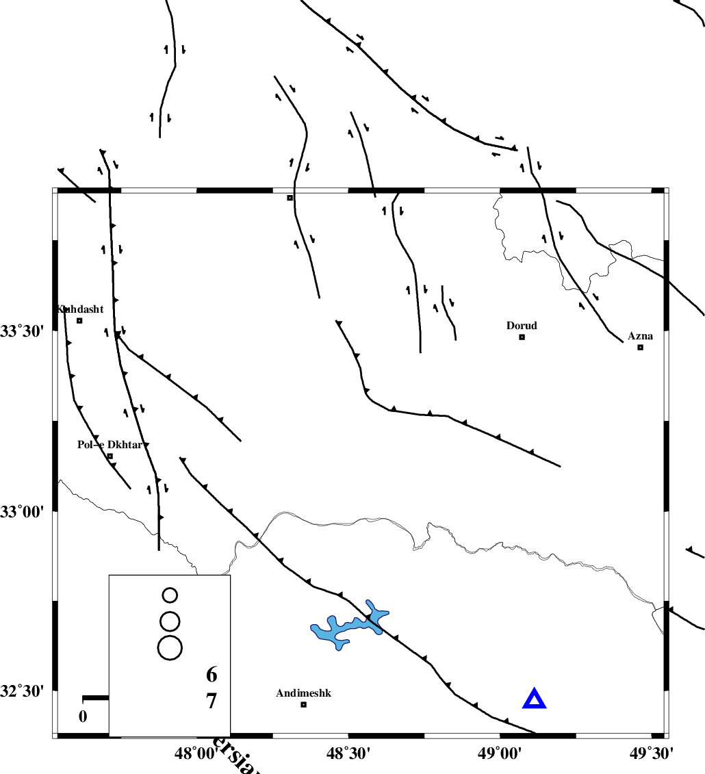
| Location | Lat:33.13 Lon: 48.54 |
| Region | |
Nearest Cities |
|
| 26 km West of Chamsangar, Lorestan Province | |
| 29 km South of Emanabad, Lorestan Province | |
| 34 km South East of Daraei, Lorestan Province | |
| 37 km South of Kamalvand-e gholamali, Lorestan Province | |
| 38 km North West of Bargsar, Lorestan Province | |
| Depth | 14 km |
| Agency | |
Faults within 150 km: |
|
| HZF4 (Length: 492 km) , Distance to epicenter: 22 km | |
| BALARUD_F_Z2 (Length: 58 km) , Distance to epicenter: 34 km | |
| BALARUD_F_Z3 (Length: 53 km) , Distance to epicenter: 39 km | |
| Number of Phases | 8 |
| RMS | 0.3 |
| Number of Stations | 6 |
| Error in Latitude | >2.8 km |
| Error in Longitude | 6.9 km |
| Error in Depth | 7.1 km |
Download waveform in seisan format
to download seisan software Click here
to access information about IIEES stations Click here
Amplitude | ||||||||
| UID | Agency | Station | Component | Amplitude | Period | Arrival Time | Proccessing Time | Signal Clip |
| 4285 | IIEES | SHGO | E | 10173.4 | 0.6 | 2005-06-18 09:32:44 | 2005-07-05 05:11:00 | n |
| 4286 | IIEES | ASAO | N | 5491.5 | 0.64 | 2005-06-18 09:32:57 | 2005-07-05 05:11:00 | n |
| 4287 | IIEES | DAMV | E | 807.6 | 0.64 | 2005-06-18 09:34:00 | 2005-07-05 05:11:00 | n |
Phase | ||||||||||||
| Agency | Station | Component | Phase Type | Phase Quality | First Motion | Observed Arrival Time | Time Residual | Loc. Flag | Input Weight | Distance | Azimuth | |
| IIEES | SHGO | Z | PG | E | 2005-06-18 09:32:09 | 0 | y | 116.4 | 168 | |||
| IIEES | ASAO | Z | PG | E | 2005-06-18 09:32:24 | -0.6 | y | 208.7 | 41 | |||
| IIEES | ASAO | E | SG | E | 2005-06-18 09:32:49 | 0.1 | y | 208.7 | 41 | |||
| IIEES | THKV | Z | PN | E | 2005-06-18 09:32:45 | 0.5 | y | 376 | 34 | |||
| IIEES | NASN | Z | PN | E | 2005-06-18 09:32:48 | 0.1 | y | 401 | 94 | |||
| IIEES | DAMV | Z | PN | E | 2005-06-18 09:32:50 | 0 | y | 419.9 | 48 | |||
| IIEES | GRMI | Z | PN | E | 2005-06-18 09:33:16 | 0 | y | 632.5 | 355 | |||
| IIEES | GRMI | E | SG | E | 2005-06-18 09:34:46 | 0 | y | 632.5 | 355 | |||