
Magnitude |
:2.5 |
| Date & Time (UTC) | 2005-06-02 00:50:22.7 |
| Date & Time (Local) | 1384/3/12 05:20:22.7 |
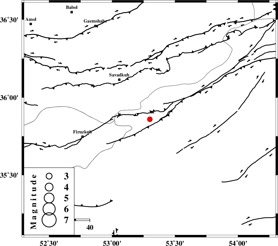
| Location | Lat:35.86 Lon: 53.3 |
| Region | |
Nearest Cities |
|
| 5 km of Chashem, Semnan Province | |
| 11 km North of Shahmirzad, Semnan Province | |
| 17 km North of Mehdishahr, Semnan Province | |
| 24 km South of Sangdeh, Mazandaran Province | |
| 34 km North East of Aftar, Semnan Province | |
| Depth | 14 km |
| Agency | |
Faults within 150 km: |
|
| ATARI_F (Length: 185 km) , Distance to epicenter: 18 km | |
| N_ALBORZ_F (Length: 360 km) , Distance to epicenter: 40 km | |
| DAMGHAN_F (Length: 95 km) , Distance to epicenter: 58 km | |
| Number of Phases | 4 |
| RMS | 0.1 |
| Number of Stations | 4 |
| Error in Latitude | >16.2 km |
| Error in Longitude | 16.9 km |
| Error in Depth | 7.5 km |
Download waveform in seisan format
to download seisan software Click here
to access information about IIEES stations Click here
Amplitude | ||||||||
| UID | Agency | Station | Component | Amplitude | Period | Arrival Time | Proccessing Time | Signal Clip |
| 4182 | IIEES | DAMV | N | 122.7 | 0.55 | 2005-06-02 00:51:08 | 2005-07-05 05:11:00 | n |
| 4183 | IIEES | ASAO | N | 15.9 | 0.52 | 2005-06-02 00:52:14 | 2005-07-05 05:11:00 | n |
| 4184 | IIEES | NASN | N | 13.6 | 0.44 | 2005-06-02 00:52:23 | 2005-07-05 05:11:00 | n |
Phase | ||||||||||||
| Agency | Station | Component | Phase Type | Phase Quality | First Motion | Observed Arrival Time | Time Residual | Loc. Flag | Input Weight | Distance | Azimuth | |
| IIEES | DAMV | Z | PG | E | 2005-06-02 00:50:43 | -0.1 | y | 122.4 | 258 | |||
| IIEES | THKV | Z | PG | E | 2005-06-02 00:50:58 | 0 | y | 218.3 | 272 | |||
| IIEES | ASAO | Z | PN | E | 2005-06-02 00:51:11 | 0.1 | y | 331.3 | 245 | |||
| IIEES | NASN | Z | PN | E | 2005-06-02 00:51:13 | 0 | y | 342.2 | 188 | |||