
Magnitude |
:3.2 |
| Date & Time (UTC) | 2005-08-11 06:46:04.4 |
| Date & Time (Local) | 1384/5/20 11:16:04.4 |
| Location | Lat:34.54 Lon: 53.11 |
| Region | |
Nearest Cities |
|
| 92 km South East of Kohanabad, Semnan Province | |
| 95 km South East of Gardovan, Semnan Province | |
| 95 km South East of Aradan, Semnan Province | |
| 95 km South East of Davarabad, Semnan Province | |
| 96 km South of Lasjerd, Semnan Province | |
| Depth | 14 km |
| Agency | |
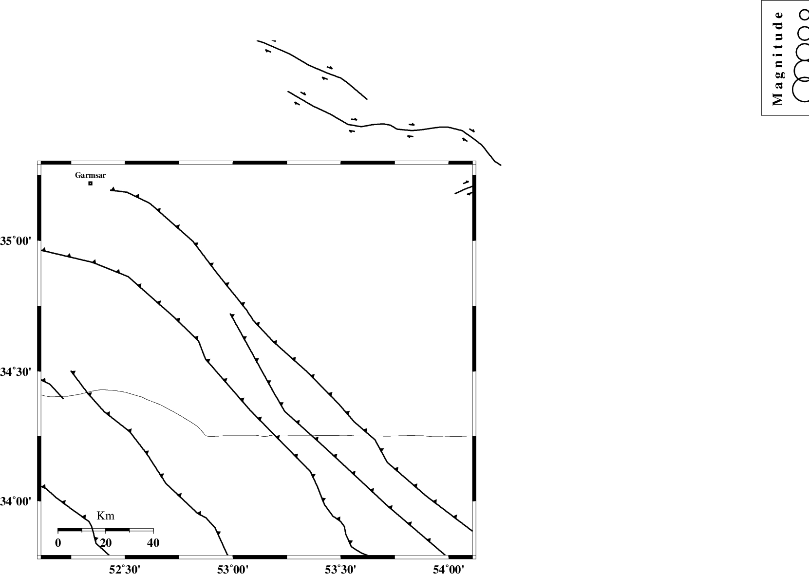
Faults within 150 km: |
|
| KUH_E_GUGERD_F (Length: 73 km) , Distance to epicenter: 40 km | |
| SIAHKUH_F (Length: 154 km) , Distance to epicenter: 55 km | |
| KUH_E_GACHAB_F1 (Length: 53 km) , Distance to epicenter: 57 km | |
| Number of Phases | 5 |
| RMS | 0.1 |
| Number of Stations | 4 |
| Error in Latitude | >2.3 km |
| Error in Longitude | 3.1 km |
| Error in Depth | 4.2 km |
Download waveform in seisan format
to download seisan software Click here
to access information about IIEES stations Click here
Amplitude | ||||||||
| UID | Agency | Station | Component | Amplitude | Period | Arrival Time | Proccessing Time | Signal Clip |
| 9665 | IIEES | DAMV | E | 310.7 | 0.24 | 2005-08-11 06:46:56 | 2006-01-09 11:55:00 | n |
| 9666 | IIEES | NASN | N | 515.8 | 0.4 | 2005-08-11 06:47:10 | 2006-01-09 11:55:00 | n |
| 9667 | IIEES | ASAO | E | 72.9 | 0.6 | 2005-08-11 06:47:31 | 2006-01-09 11:55:00 | n |
Phase | ||||||||||||
| Agency | Station | Component | Phase Type | Phase Quality | First Motion | Observed Arrival Time | Time Residual | Loc. Flag | Input Weight | Distance | Azimuth | |
| IIEES | DAMV | Z | PG | E | 2005-08-11 06:46:30 | -0.1 | y | 159 | 320 | |||
| IIEES | NASN | Z | PG | E | 2005-08-11 06:46:36 | 0 | y | 196 | 188 | |||
| IIEES | THKV | Z | PN | E | 2005-08-11 06:46:43 | 0.1 | y | 254 | 307 | |||
| IIEES | ASAO | Z | PN | E | 2005-08-11 06:46:47 | 0.1 | y | 283 | 271 | |||
| IIEES | ASAO | N | SG | E | 2005-08-11 06:47:24 | 0 | y | 283 | 271 | |||