
Magnitude |
:2.5 |
| Date & Time (UTC) | 2005-07-10 16:08:56.8 |
| Date & Time (Local) | 1384/4/19 20:38:56.8 |
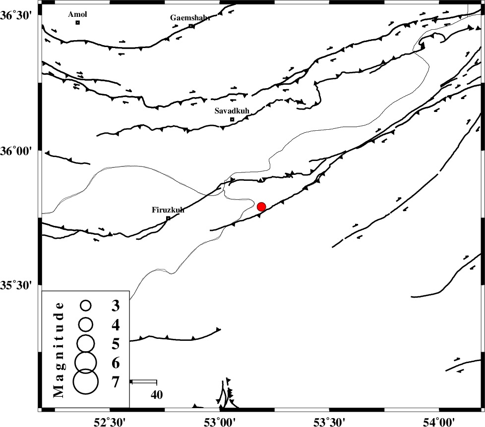
| Location | Lat:35.79 Lon: 53.19 |
| Region | |
Nearest Cities |
|
| 13 km North West of Shahmirzad, Semnan Province | |
| 13 km South of Chashem, Semnan Province | |
| 16 km North West of Mehdishahr, Semnan Province | |
| 22 km North of Aftar, Semnan Province | |
| 31 km South of Sangdeh, Mazandaran Province | |
| Depth | 15 km |
| Agency | |
Faults within 150 km: |
|
| ATARI_F (Length: 185 km) , Distance to epicenter: 14 km | |
| N_ALBORZ_F (Length: 360 km) , Distance to epicenter: 46 km | |
| MOSHA_F (Length: 234 km) , Distance to epicenter: 51 km | |
| Number of Phases | 5 |
| RMS | 0.3 |
| Number of Stations | 4 |
| Error in Latitude | >10.1 km |
| Error in Longitude | 6.6 km |
| Error in Depth | 0 km |
Download waveform in seisan format
to download seisan software Click here
to access information about IIEES stations Click here
Amplitude | ||||||||
| UID | Agency | Station | Component | Amplitude | Period | Arrival Time | Proccessing Time | Signal Clip |
| 9479 | IIEES | DAMV | N | 170.9 | 0.54 | 2005-07-10 16:09:34 | 2006-01-09 11:55:00 | n |
| 9480 | IIEES | ASAO | N | 13.1 | 0.48 | 2005-07-10 16:10:35 | 2006-01-09 11:55:00 | n |
Phase | ||||||||||||
| Agency | Station | Component | Phase Type | Phase Quality | First Motion | Observed Arrival Time | Time Residual | Loc. Flag | Input Weight | Distance | Azimuth | |
| IIEES | DAMV | Z | Pg | E | 2005-07-10 16:09:15 | -0.6 | y | 112 | 261 | |||
| IIEES | DAMV | N | Sg | E | 2005-07-10 16:09:29 | 0.1 | y | 112 | 261 | |||
| IIEES | THKV | Z | Pg | E | 2005-07-10 16:09:31 | 0.2 | y | 209 | 274 | |||
| IIEES | ASAO | Z | Pn | E | 2005-07-10 16:09:44 | 0.3 | y | 320 | 245 | |||
| IIEES | NASN | Z | Pn | E | 2005-07-10 16:09:46 | 0 | y | 334 | 186 | |||