
Magnitude |
:3.3 |
| Date & Time (UTC) | 2026-02-08 12:43:50.5 |
| Date & Time (Local) | 1404/11/19 16:13:50.5 |
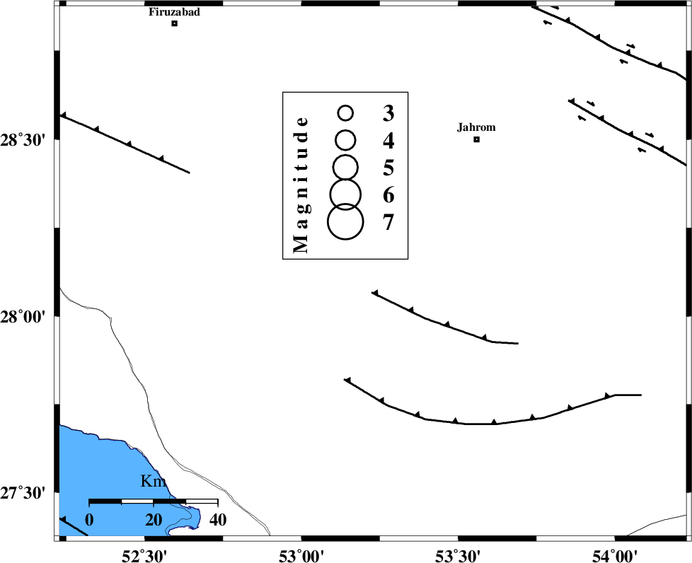
| Location | Lat:28.126 Lon: 53.228 |
| Region | Fars Province, 42 km South-East of Qir va Karzin |
Nearest Cities |
|
| 9 km of Seyfabad, Fars Province | |
| 28 km South of Mobarakabad, Fars Province | |
| 34 km North West of Khonj, Fars Province | |
| 35 km South East of Shahrak-e jonubi, Fars Province | |
| 36 km West of Balafan, Fars Province | |
| Depth | 10 km |
| Agency | |
Faults within 150 km: |
|
| QIR_F (Length: 130 km) , Distance to epicenter: 20 km | |
| BERIZ_F (Length: 49 km) , Distance to epicenter: 76 km | |
| SABZ_PUSHAN_F_Z2 (Length: 24 km) , Distance to epicenter: 78 km | |
| Number of Phases | 7 |
| RMS | 0.3 |
| Number of Stations | 7 |
| Error in Latitude | >1.2 km |
| Error in Longitude | 1.2 km |
| Error in Depth | 1.4 km |
Download waveform in seisan format
to download seisan software Click here
to access information about IIEES stations Click here
Amplitude | ||||||||
| UID | Agency | Station | Component | Amplitude | Period | Arrival Time | Proccessing Time | Signal Clip |
| 201702 | IIEES SC | GENO | Z | 0.1 | 1 | 2026-02-08 12:44:36 | 2026-02-18 05:54:00 | n |
| 201703 | IIEES SC | KRBR | Z | 0.09 | 1 | 2026-02-08 12:44:48 | 2026-02-18 05:54:00 | n |
| 201704 | IIEES SC | NASN | Z | 0.03 | 1 | 2026-02-08 12:45:03 | 2026-02-18 05:54:00 | n |
Phase | ||||||||||||
| Agency | Station | Component | Phase Type | Phase Quality | First Motion | Observed Arrival Time | Time Residual | Loc. Flag | Input Weight | Distance | Azimuth | |
| IIEES SC | GHIR | Z | EPg | E | 2026-02-08 12:43:55 | -0.7 | y | 0 | 30 | 307 | ||
| IIEES SC | GENO | Z | EPn | E | 2026-02-08 12:44:36 | 0 | y | 0 | 301 | 105 | ||
| IIEES SC | ABH1 | Z | EPn | E | 2026-02-08 12:44:48 | 0.2 | y | 0 | 398 | 314 | ||
| IIEES SC | KRBR | Z | EPn | E | 2026-02-08 12:44:48 | -0.1 | y | 0 | 401 | 59 | ||
| IIEES SC | BRJ | Z | EPn | E | 2026-02-08 12:44:56 | 0.4 | y | 0 | 460 | 336 | ||
| IIEES SC | YZKH | Z | EPn | E | 2026-02-08 12:44:36 | -23.8 | n | 4 | 491 | 16 | ||
| IIEES SC | NASN | Z | EPn | E | 2026-02-08 12:45:03 | 0.2 | y | 0 | 520 | 356 | ||