
Magnitude |
:4.8 |
| Date & Time (UTC) | 2025-06-20 00:41:20.6 |
| Date & Time (Local) | 1404/3/30 04:11:20.6 |
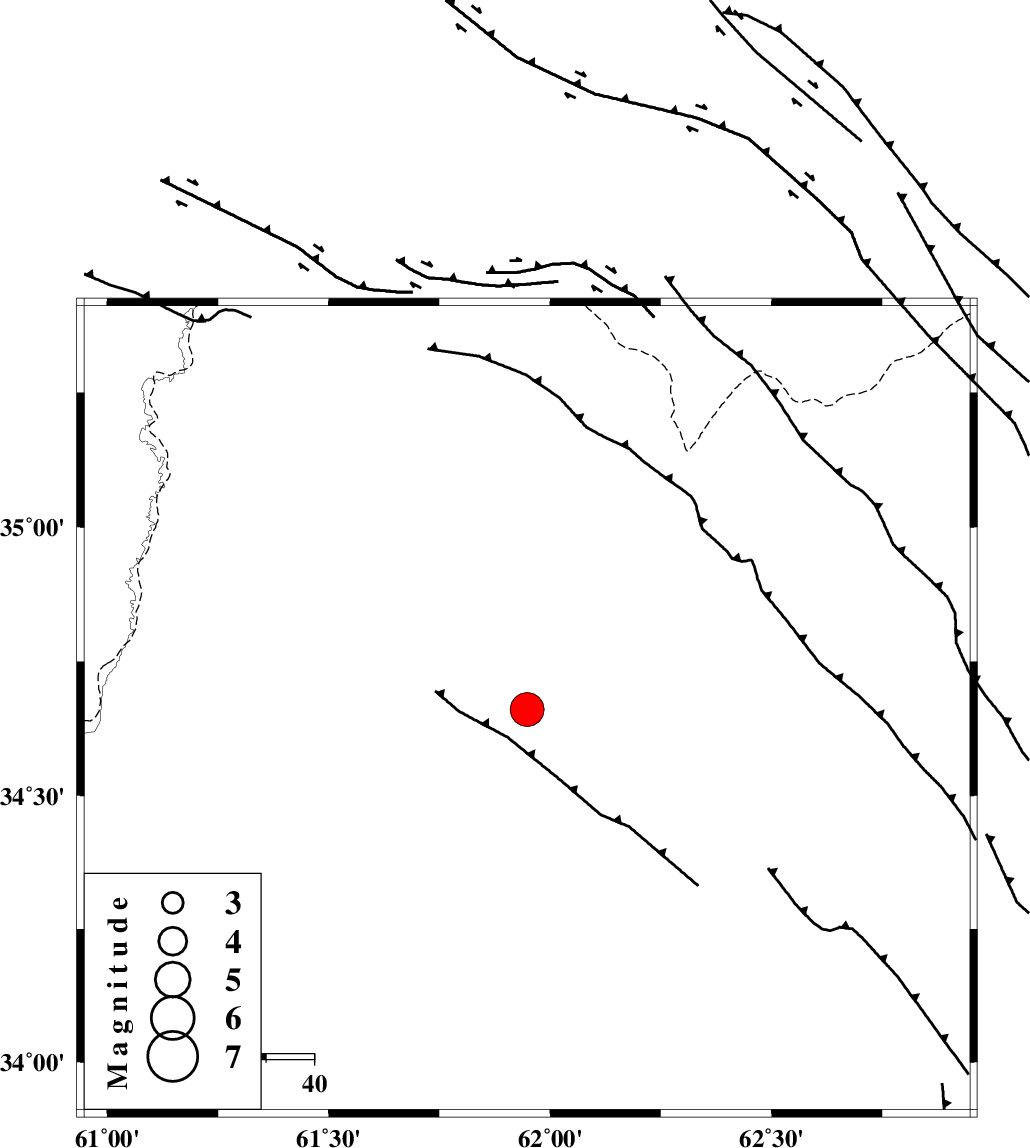
| Location | Lat:34.661 Lon: 61.948 |
| Region | Pakistan, 42 km North-West of Herat |
Nearest Cities |
|
| 42 km North West of Herat, Afghanistan Province | |
| 104 km South East of Void, Khorasan(center) Province | |
| 104 km East of Taybad, Khorasan(center) Province | |
| 109 km South East of Samieabad, Khorasan(center) Province | |
| 127 km North East of Karat, Khorasan(center) Province | |
| Depth | 20 km |
| Agency | |
Faults within 150 km: |
|
| DORUNEH_F (Length: 713 km) , Distance to epicenter: 92 km | |
| Number of Phases | 10 |
| RMS | 0.2 |
| Number of Stations | 10 |
| Error in Latitude | >2.8 km |
| Error in Longitude | 2.8 km |
| Error in Depth | 3.9 km |
Download waveform in seisan format
to download seisan software Click here
to access information about IIEES stations Click here
Amplitude | ||||||||
| UID | Agency | Station | Component | Amplitude | Period | Arrival Time | Proccessing Time | Signal Clip |
| 198520 | IIEES SC | SHRT | Z | 20 | 1 | 2025-06-20 00:41:51 | 2025-06-21 08:35:00 | n |
| 198521 | IIEES SC | MRVT | Z | 0.8 | 1 | 2025-06-20 00:42:45 | 2025-06-21 08:35:00 | n |
| 198522 | IIEES SC | NASN | Z | 0.2 | 1 | 2025-06-20 00:43:16 | 2025-06-21 08:35:00 | n |
Phase | ||||||||||||
| Agency | Station | Component | Phase Type | Phase Quality | First Motion | Observed Arrival Time | Time Residual | Loc. Flag | Input Weight | Distance | Azimuth | |
| IIEES SC | SHRT | Z | EPg | E | 2025-06-20 00:41:51 | 0 | y | 0 | 190 | 234 | ||
| IIEES SC | KAGH | Z | EPn | E | 2025-06-20 00:42:06 | 0 | y | 0 | 310 | 325 | ||
| IIEES SC | BSRN | Z | EPn | E | 2025-06-20 00:42:03 | -13.4 | n | 4 | 398 | 221 | ||
| IIEES SC | MRVT | Z | EPn | E | 2025-06-20 00:42:45 | 0.1 | y | 0 | 623 | 302 | ||
| IIEES SC | KRBR | Z | EPn | E | 2025-06-20 00:42:52 | -3.9 | n | 4 | 713 | 223 | ||
| IIEES SC | YZKH | Z | EPn | E | 2025-06-20 00:42:29 | -29.4 | n | 4 | 728 | 250 | ||
| IIEES SC | IRSR | Z | EPn | E | 2025-06-20 00:43:14 | -0.1 | y | 0 | 859 | 187 | ||
| IIEES SC | NASN | Z | EPn | E | 2025-06-20 00:43:16 | 0.5 | y | 0 | 872 | 256 | ||
| IIEES SC | GHVR | Z | EPn | E | 2025-06-20 00:43:29 | -0.4 | y | 0 | 982 | 269 | ||
| IIEES SC | ASAO | Z | EPn | E | 2025-06-20 00:43:43 | -0.2 | y | 0 | 1094 | 269 | ||