
Magnitude |
:2.8 |
| Date & Time (UTC) | 2016-01-29 13:10:51.0 |
| Date & Time (Local) | 1394/11/9 16:40:51.0 |
| Location | Lat:35.566 Lon: 49.701 |
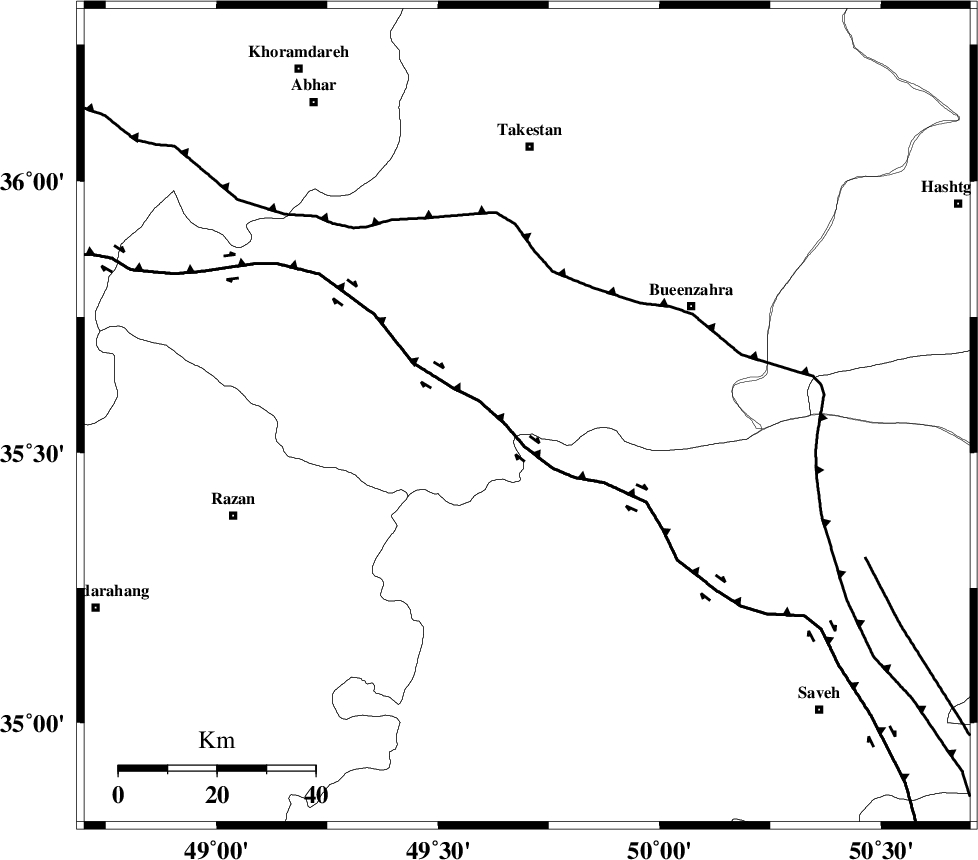
| Region | Ghazvin Province, 55 km South of Takestan |
Nearest Cities |
|
| 21 km North West of Duzaj, Markazi Province | |
| 22 km East of Kolanjin, Ghazvin Province | |
| 24 km South of Danesfahan, Ghazvin Province | |
| 31 km South West of Sagezabad, Ghazvin Province | |
| 35 km North West of Razegian, Markazi Province | |
| Depth | 27 km |
| Agency | |
Faults within 150 km: |
|
| S_PARANDAK_F (Length: 116 km) , Distance to epicenter: 14 km | |
| IPAK_F (Length: 80 km) , Distance to epicenter: 21 km | |
| KUSHK_E_NOSRAT_F (Length: 230 km) , Distance to epicenter: 21 km | |
| Number of Phases | 9 |
| RMS | 0.3 |
| Number of Stations | 6 |
| Error in Latitude | >2 km |
| Error in Longitude | 4.4 km |
| Error in Depth | 5.6 km |
Download waveform in seisan format
to download seisan software Click here
to access information about IIEES stations Click here
Amplitude | ||||||||
| UID | Agency | Station | Component | Amplitude | Period | Arrival Time | Proccessing Time | Signal Clip |
| 104074 | IIEES | GHVR | E | 62.4 | 0.26 | 2016-01-29 13:11:50 | 2016-01-30 11:48:00 | n |
| 104075 | IIEES | DAMV | E | 93 | 0.47 | 2016-01-29 13:11:52 | 2016-01-30 11:48:00 | n |
| 104076 | IIEES | DAMV | N | 72.9 | 0.4 | 2016-01-29 13:11:52 | 2016-01-30 11:48:00 | n |
Phase | ||||||||||||
| Agency | Station | Component | Phase Type | Phase Quality | First Motion | Observed Arrival Time | Time Residual | Loc. Flag | Input Weight | Distance | Azimuth | |
| IIEES | THKV | Z | Pg | E | 2016-01-29 13:11:07 | -2.4 | n | 4 | 113 | 70 | ||
| IIEES | ASAO | Z | Pg | E | 2016-01-29 13:11:10 | -0.18 | y | 117 | 165 | |||
| IIEES | ASAO | E | Sg | E | 2016-01-29 13:11:24 | -0.41 | y | 117 | 165 | |||
| IIEES | CHTH | Z | Pg | E | 2016-01-29 13:11:13 | -0.16 | y | 134 | 73 | |||
| IIEES | ZNJK | Z | Pg | E | 2016-01-29 13:11:16 | 0 | y | 153 | 324 | |||
| IIEES | GHVR | Z | Pn | E | 2016-01-29 13:11:20 | -0.09 | y | 185 | 130 | |||
| IIEES | KHMZ | Z | Pn | E | 2016-01-29 13:11:23 | 0 | y | 204 | 173 | |||
| IIEES | KHMZ | E | Sg | E | 2016-01-29 13:11:48 | 0.5 | y | 204 | 173 | |||
| IIEES | DAMV | Z | Pg | E | 2016-01-29 13:11:24 | 0.33 | y | 206 | 87 | |||