
Magnitude |
:2.2 |
| Date & Time (UTC) | 2015-10-01 08:57:17.8 |
| Date & Time (Local) | 1394/7/9 12:27:17.8 |
| Location | Lat:38.284 Lon: 57.85 |
| Region | Turkmenistan, 60 km North-West of Ashgabat |
Nearest Cities |
|
| 54 km North East of Gifan olia, Khorasan(north) Province | |
| 60 km North West of Ashgabat, Turkmenistan Province | |
| 61 km North East of Yangi ghale-ye bala, Khorasan(north) Province | |
| 65 km North West of Kuseh, Khorasan(north) Province | |
| 73 km North of Tukur, Khorasan(north) Province | |
| Depth | 14 km |
| Agency | |
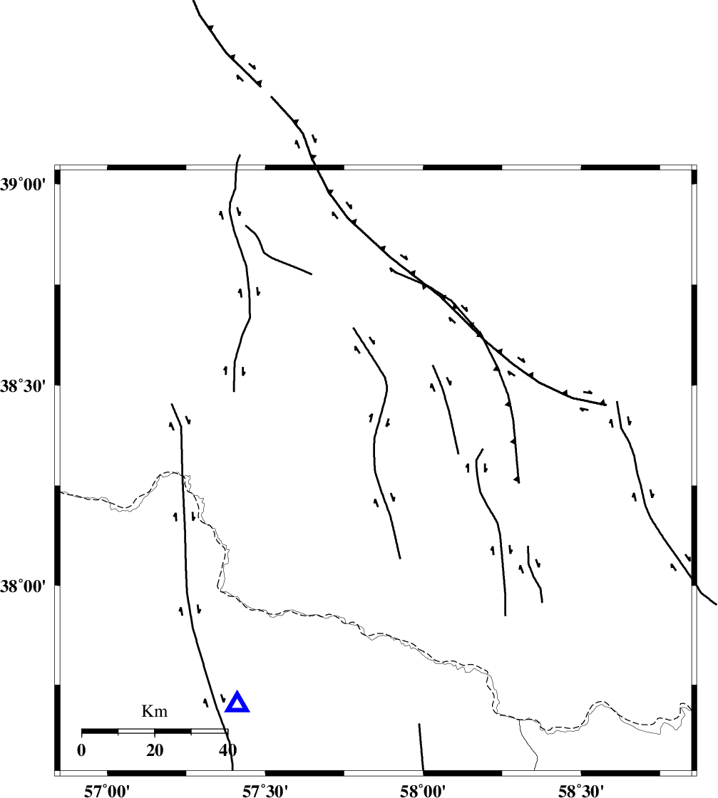
Faults within 150 km: |
|
| MAIN_KOPEHDAGH_F3 (Length: 96 km) , Distance to epicenter: 15 km | |
| MAIN_KOPEHDAGH_F2 (Length: 131 km) , Distance to epicenter: 27 km | |
| BAGHAN_GERMAB_F (Length: 79 km) , Distance to epicenter: 48 km | |
| Number of Phases | 4 |
| RMS | 0.1 |
| Number of Stations | 3 |
| Error in Latitude | >9.5 km |
| Error in Longitude | 5.2 km |
| Error in Depth | 6.9 km |
Download waveform in seisan format
to download seisan software Click here
to access information about IIEES stations Click here
Amplitude | ||||||||
| UID | Agency | Station | Component | Amplitude | Period | Arrival Time | Proccessing Time | Signal Clip |
| 101345 | IIEES | BJRD | E | 133.3 | 0.3 | 2015-10-01 08:57:42 | 2015-10-03 11:52:00 | n |
| 101346 | IIEES | SHRO | E | 8 | 0.68 | 2015-10-01 08:58:49 | 2015-10-03 11:52:00 | n |
Phase | ||||||||||||
| Agency | Station | Component | Phase Type | Phase Quality | First Motion | Observed Arrival Time | Time Residual | Loc. Flag | Input Weight | Distance | Azimuth | |
| IIEES | BJRD | Z | Pg | E | 2015-10-01 08:57:30 | -0.15 | y | 75.5 | 211 | |||
| IIEES | MRVT | Z | Pg | E | 2015-10-01 08:57:45 | -0.11 | y | 170 | 246 | |||
| IIEES | MRVT | N | Sg | E | 2015-10-01 08:58:06 | 0.06 | y | 170 | 246 | |||
| IIEES | SHRO | Z | Pn | E | 2015-10-01 08:58:03 | 0.22 | y | 301 | 213 | |||