
Magnitude |
:2.5 |
| Date & Time (UTC) | 2015-09-13 08:50:41.0 |
| Date & Time (Local) | 1394/6/22 13:20:41.0 |
| Location | Lat:29.229 Lon: 55.842 |
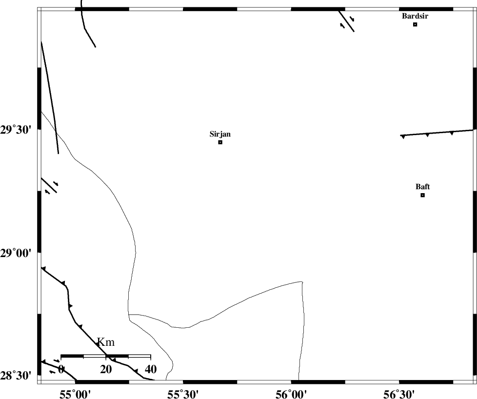
| Region | Kerman Province, 29 km South-East of Sirjan |
Nearest Cities |
|
| 5 km of Malekabad, Kerman Province | |
| 21 km South East of Najafabad, Kerman Province | |
| 29 km South West of Blord, Kerman Province | |
| 29 km South East of Sirjan, Kerman Province | |
| 32 km South East of Sharifabad, Kerman Province | |
| Depth | 14 km |
| Agency | |
Faults within 150 km: |
|
| LALEHZAR_F (Length: 52 km) , Distance to epicenter: 70 km | |
| SHAHR_E_BABAK_F2 (Length: 272 km) , Distance to epicenter: 71 km | |
| RAFSANJAN_F (Length: 129 km) , Distance to epicenter: 86 km | |
| Number of Phases | 6 |
| RMS | 0.2 |
| Number of Stations | 4 |
| Error in Latitude | >2.6 km |
| Error in Longitude | 5.4 km |
| Error in Depth | 8.6 km |
Download waveform in seisan format
to download seisan software Click here
to access information about IIEES stations Click here
Amplitude | ||||||||
| UID | Agency | Station | Component | Amplitude | Period | Arrival Time | Proccessing Time | Signal Clip |
| 100913 | IIEES | KRBR | E | 78.8 | 0.25 | 2015-09-13 08:51:20 | 2015-09-13 11:33:00 | n |
| 100914 | IIEES | YZKH | E | 12.7 | 0.34 | 2015-09-13 08:52:29 | 2015-09-13 11:33:00 | n |
| 100915 | IIEES | YZKH | N | 13 | 0.3 | 2015-09-13 08:52:33 | 2015-09-13 11:33:00 | n |
Phase | ||||||||||||
| Agency | Station | Component | Phase Type | Phase Quality | First Motion | Observed Arrival Time | Time Residual | Loc. Flag | Input Weight | Distance | Azimuth | |
| IIEES | KRBR | Z | Pg | E | 2015-09-13 08:51:01 | -0.29 | y | 122 | 47 | |||
| IIEES | KRBR | N | Sg | E | 2015-09-13 08:51:16 | 0.23 | y | 122 | 47 | |||
| IIEES | BNDS | Z | Pn | E | 2015-09-13 08:51:14 | 0.06 | y | 205 | 171 | |||
| IIEES | YZKH | Z | Pn | E | 2015-09-13 08:51:34 | 0.05 | y | 370 | 341 | |||
| IIEES | BSRN | Z | Pn | E | 2015-09-13 08:51:43 | -0.04 | y | 437 | 45 | |||
| IIEES | BSRN | N | Sg | E | 2015-09-13 08:52:43 | -0.02 | y | 437 | 45 | |||