
Magnitude |
:3 |
| Date & Time (UTC) | 2015-07-26 22:40:34.6 |
| Date & Time (Local) | 1394/5/5 03:10:34.6 |
| Location | Lat:28.181 Lon: 58.377 |
| Region | Kerman Province, 72 km North-East of Kahnuj |
Nearest Cities |
|
| 22 km North West of Borj-e abbasabad, Kerman Province | |
| 27 km South East of Mardehak, Kerman Province | |
| 50 km South East of Dosari, Kerman Province | |
| 55 km South East of Dahane-ye gomrokan, Kerman Province | |
| 57 km South East of Aliabad-e qadiri, Kerman Province | |
| Depth | 14 km |
| Agency | |
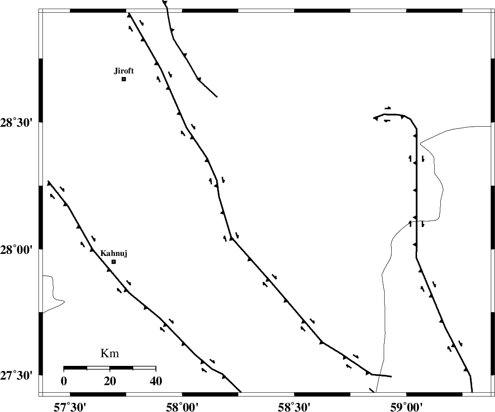
Faults within 150 km: |
|
| BAM_F (Length: 118 km) , Distance to epicenter: 40 km | |
| JIROFT_F (Length: 144 km) , Distance to epicenter: 62 km | |
| SABZEVARAN_F (Length: 190 km) , Distance to epicenter: 65 km | |
| Number of Phases | 6 |
| RMS | 0.1 |
| Number of Stations | 5 |
| Error in Latitude | >3.6 km |
| Error in Longitude | 2.7 km |
| Error in Depth | 9.3 km |
Download waveform in seisan format
to download seisan software Click here
to access information about IIEES stations Click here
Amplitude | ||||||||
| UID | Agency | Station | Component | Amplitude | Period | Arrival Time | Proccessing Time | Signal Clip |
| 100193 | IIEES | BNDS | N | 91.6 | 0.33 | 2015-07-26 22:41:37 | 2015-07-28 10:50:00 | n |
| 100194 | IIEES | BNDS | E | 101.8 | 0.28 | 2015-07-26 22:41:38 | 2015-07-28 10:50:00 | n |
Phase | ||||||||||||
| Agency | Station | Component | Phase Type | Phase Quality | First Motion | Observed Arrival Time | Time Residual | Loc. Flag | Input Weight | Distance | Azimuth | |
| IIEES | BNDS | Z | Pn | E | 2015-07-26 22:41:11 | -0.02 | y | 234 | 249 | |||
| IIEES | KRBR | Z | Pn | E | 2015-07-26 22:41:14 | 0.15 | y | 254 | 322 | |||
| IIEES | KRBR | N | Sg | E | 2015-07-26 22:41:46 | -0.02 | y | 254 | 322 | |||
| IIEES | ZHSF | Z | Pn | E | 2015-07-26 22:41:17 | 0.02 | y | 283 | 55 | |||
| IIEES | SHRT | Z | Pn | E | 2015-07-26 22:42:00 | -0.17 | y | 633 | 16 | |||
| IIEES | AHRM | Z | Pn | E | 2015-07-26 22:42:08 | -0.09 | y | 697 | 278 | |||