
Magnitude |
:2.8 |
| Date & Time (UTC) | 2015-07-21 20:10:01.7 |
| Date & Time (Local) | 1394/4/31 00:40:01.7 |
| Location | Lat:32.207 Lon: 48.743 |
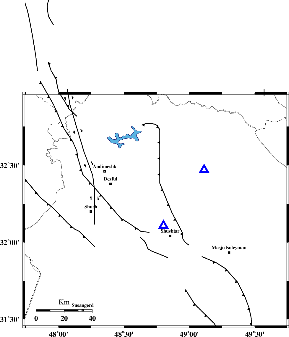
| Region | Khoozestan Province, 21 km North-West of Shushtar |
Nearest Cities |
|
| 8 km of Gatvand, Khoozestan Province | |
| 10 km North West of Samaleh, Khoozestan Province | |
| 21 km North West of Shushtar, Khoozestan Province | |
| 22 km North of Sardarabad, Khoozestan Province | |
| 22 km South of Mahur berenji, Khoozestan Province | |
| Depth | 14 km |
| Agency | |
Faults within 150 km: |
|
| DEZFUL_EMBAYMENT (Length: 228 km) , Distance to epicenter: 14 km | |
| BALARUD_F_Z2 (Length: 58 km) , Distance to epicenter: 55 km | |
| MFF2 (Length: 205 km) , Distance to epicenter: 56 km | |
| Number of Phases | 6 |
| RMS | 0.1 |
| Number of Stations | 5 |
| Error in Latitude | >1.7 km |
| Error in Longitude | 3.8 km |
| Error in Depth | 2.2 km |
Download waveform in seisan format
to download seisan software Click here
to access information about IIEES stations Click here
Amplitude | ||||||||
| UID | Agency | Station | Component | Amplitude | Period | Arrival Time | Proccessing Time | Signal Clip |
| 100149 | IIEES | SHGR | E | 3079.9 | 0.25 | 2015-07-21 20:10:19 | 2015-07-22 08:16:00 | n |
| 100150 | IIEES | SHGR | N | 2857.4 | 0.25 | 2015-07-21 20:10:21 | 2015-07-22 08:16:00 | n |
Phase | ||||||||||||
| Agency | Station | Component | Phase Type | Phase Quality | First Motion | Observed Arrival Time | Time Residual | Loc. Flag | Input Weight | Distance | Azimuth | |
| IIEES | SHGR | Z | Pg | E | 2015-07-21 20:10:05 | -0.04 | y | 12.2 | 153 | |||
| IIEES | KHMZ | Z | Pn | E | 2015-07-21 20:10:35 | -0.01 | y | 205 | 34 | |||
| IIEES | ASAO | Z | Pn | E | 2015-07-21 20:10:45 | 0.09 | y | 286 | 24 | |||
| IIEES | ASAO | E | Sg | E | 2015-07-21 20:11:22 | -0.06 | y | 286 | 24 | |||
| IIEES | GHVR | Z | Pn | E | 2015-07-21 20:10:52 | 0.06 | y | 343 | 42 | |||
| IIEES | SNGE | Z | Pn | E | 2015-07-21 20:10:52 | -0.03 | y | 345 | 338 | |||