
Magnitude |
:2.3 |
| Date & Time (UTC) | 2015-07-16 05:12:29.0 |
| Date & Time (Local) | 1394/4/25 09:42:29.0 |
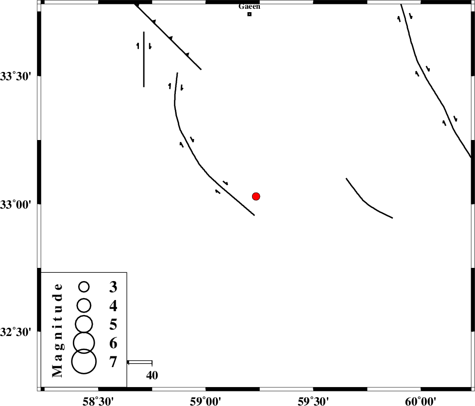
| Location | Lat:33.03 Lon: 59.233 |
| Region | Khorasan(south) Province, 14 km North of Birjand |
Nearest Cities |
|
| 7 km North of Hajiabad, Khorasan(south) Province | |
| 14 km North of Birjand, Khorasan(south) Province | |
| 22 km North West of Marg, Khorasan(south) Province | |
| 23 km South East of Konder, Khorasan(south) Province | |
| 31 km North of Gol, Khorasan(south) Province | |
| Depth | 14 km |
| Agency | |
Faults within 150 km: |
|
| MOHAMMADABAD_F (Length: 71 km) , Distance to epicenter: 8 km | |
| NOZAD_F (Length: 27 km) , Distance to epicenter: 40 km | |
| FERDOWS_F (Length: 101 km) , Distance to epicenter: 60 km | |
| Number of Phases | 5 |
| RMS | 0.2 |
| Number of Stations | 4 |
| Error in Latitude | >3.6 km |
| Error in Longitude | 3.2 km |
| Error in Depth | 7.1 km |
Download waveform in seisan format
to download seisan software Click here
to access information about IIEES stations Click here
Amplitude | ||||||||
| UID | Agency | Station | Component | Amplitude | Period | Arrival Time | Proccessing Time | Signal Clip |
| 100104 | IIEES | TABS | N | 24.8 | 0.4 | 2015-07-16 05:13:33 | 2015-07-20 11:19:00 | n |
Phase | ||||||||||||
| Agency | Station | Component | Phase Type | Phase Quality | First Motion | Observed Arrival Time | Time Residual | Loc. Flag | Input Weight | Distance | Azimuth | |
| IIEES | BSRN | Z | Pg | E | 2015-07-16 05:12:49 | 0.02 | y | 119 | 185 | |||
| IIEES | SHRT | Z | Pn | E | 2015-07-16 05:12:51 | -0.12 | y | 120 | 55 | |||
| IIEES | TABS | Z | Pn | E | 2015-07-16 05:13:03 | 0.37 | y | 208 | 290 | |||
| IIEES | TABS | E | Sg | E | 2015-07-16 05:13:28 | -0.12 | y | 208 | 290 | |||
| IIEES | YZKH | Z | Pn | E | 2015-07-16 05:13:31 | -0.22 | y | 441 | 262 | |||