
Magnitude |
:3.9 |
| Date & Time (UTC) | 2015-06-26 05:16:04.2 |
| Date & Time (Local) | 1394/4/5 09:46:04.2 |
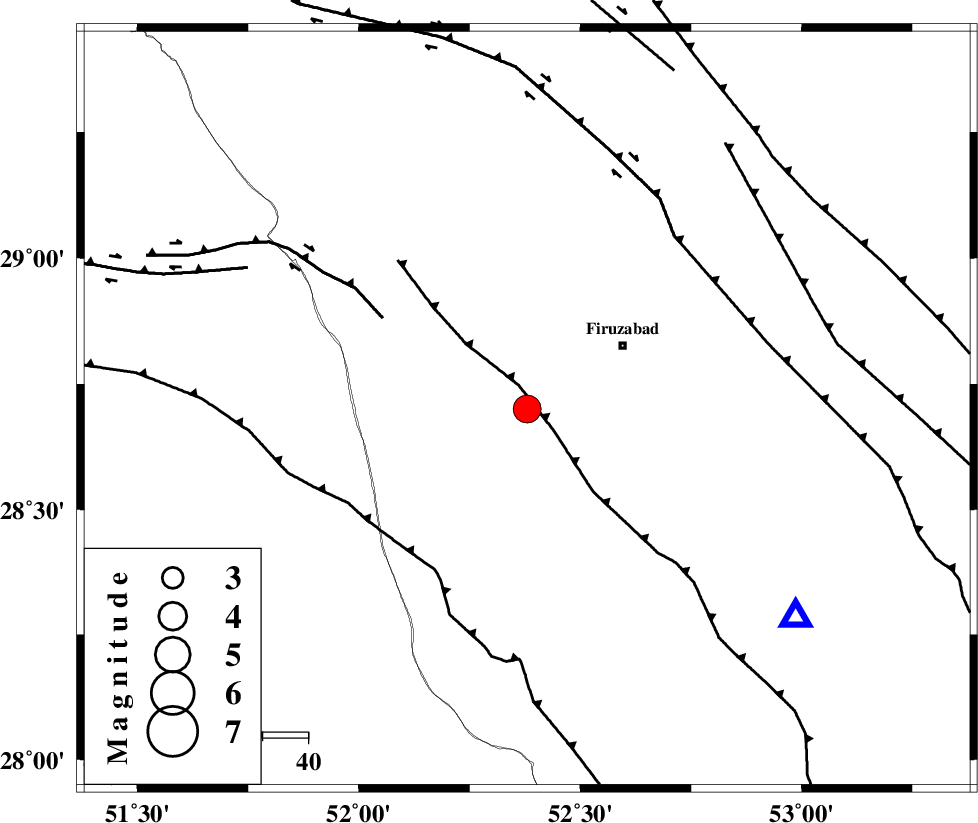
| Location | Lat:28.7 Lon: 52.38 |
| Region | Fars Province, 25 km South-West of Firuz Abad |
Nearest Cities |
|
| 18 km South West of Ahmadabad, Fars Province | |
| 24 km North of Dahrom, Fars Province | |
| 25 km South West of Firuz Abad, Fars Province | |
| 26 km West of Jaydasht, Fars Province | |
| 34 km South East of Farashband, Fars Province | |
| Depth | 6 km |
| Agency | |
Faults within 150 km: |
|
| QIR_F (Length: 130 km) , Distance to epicenter: 5 km | |
| KAREBASS_F (Length: 98 km) , Distance to epicenter: 28 km | |
| SABZ_PUSHAN_F_Z1 (Length: 69 km) , Distance to epicenter: 35 km | |
| Number of Phases | 5 |
| RMS | 0.1 |
| Number of Stations | 4 |
| Error in Latitude | >10.6 km |
| Error in Longitude | 6 km |
| Error in Depth | 17.2 km |
Download waveform in seisan format
to download seisan software Click here
to access information about IIEES stations Click here
Amplitude | ||||||||
| UID | Agency | Station | Component | Amplitude | Period | Arrival Time | Proccessing Time | Signal Clip |
| 96059 | IIEES | AHRM | N | 3225.1 | 0.32 | 2015-06-26 05:16:38 | 2015-06-26 07:01:00 | n |
Phase | ||||||||||||
| Agency | Station | Component | Phase Type | Phase Quality | First Motion | Observed Arrival Time | Time Residual | Loc. Flag | Input Weight | Distance | Azimuth | |
| IIEES | AHRM | Z | Pg | E | 2015-06-26 05:16:22 | -0.09 | y | 107 | 280 | |||
| IIEES | AHRM | N | Sg | E | 2015-06-26 05:16:36 | 0.07 | y | 107 | 280 | |||
| IIEES | KRBR | Z | Pn | E | 2015-06-26 05:17:08 | 0.09 | y | 449 | 71 | |||
| IIEES | YZKH | Z | Pn | E | 2015-06-26 05:17:10 | 0.03 | y | 461 | 27 | |||
| IIEES | TABS | Z | Pn | E | 2015-06-26 05:17:41 | -0.16 | y | 711 | 38 | |||