
Magnitude |
:2.1 |
| Date & Time (UTC) | 2015-06-20 22:27:09.6 |
| Date & Time (Local) | 1394/3/31 02:57:09.6 |
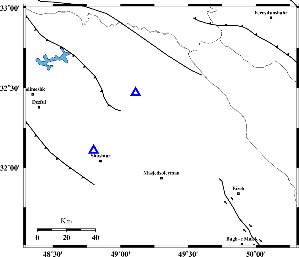
| Location | Lat:32.26 Lon: 49.3 |
| Region | Khoozestan Province, 23 km South-East of Lali |
Nearest Cities |
|
| 15 km North West of Qale-yekhvaju, Khoozestan Province | |
| 17 km East of Jaefarabad, Khoozestan Province | |
| 23 km South East of Lali, Khoozestan Province | |
| 25 km West of Paabshalal, Khoozestan Province | |
| 26 km North East of Haft shahidan, Khoozestan Province | |
| Depth | 15 km |
| Agency | |
Faults within 150 km: |
|
| MFF2 (Length: 205 km) , Distance to epicenter: 11 km | |
| DEZFUL_EMBAYMENT (Length: 228 km) , Distance to epicenter: 28 km | |
| ZARDKUH_F (Length: 139 km) , Distance to epicenter: 59 km | |
| Number of Phases | 4 |
| RMS | 0 |
| Number of Stations | 3 |
| Error in Latitude | >9.4 km |
| Error in Longitude | 9.1 km |
| Error in Depth | 4.5 km |
Download waveform in seisan format
to download seisan software Click here
to access information about IIEES stations Click here
Amplitude | ||||||||
| UID | Agency | Station | Component | Amplitude | Period | Arrival Time | Proccessing Time | Signal Clip |
| 96001 | IIEES | SHGR | N | 142.4 | 0.28 | 2015-06-20 22:27:28 | 2015-06-21 03:27:00 | n |
| 96002 | IIEES | SHGR | E | 167.9 | 0.36 | 2015-06-20 22:27:29 | 2015-06-21 03:27:00 | n |
Phase | ||||||||||||
| Agency | Station | Component | Phase Type | Phase Quality | First Motion | Observed Arrival Time | Time Residual | Loc. Flag | Input Weight | Distance | Azimuth | |
| IIEES | SHGR | Z | Pg | E | 2015-06-20 22:27:18 | -0.01 | y | 49.9 | 250 | |||
| IIEES | SHGR | N | Sg | E | 2015-06-20 22:27:25 | 0 | y | 49.9 | 250 | |||
| IIEES | KHMZ | Z | Pg | E | 2015-06-20 22:27:38 | 0 | y | 175 | 21 | |||
| IIEES | ASAO | Z | Pn | E | 2015-06-20 22:27:50 | 0 | y | 262 | 15 | |||