
Magnitude |
:2.3 |
| Date & Time (UTC) | 2015-06-06 16:54:29.7 |
| Date & Time (Local) | 1394/3/16 21:24:29.7 |
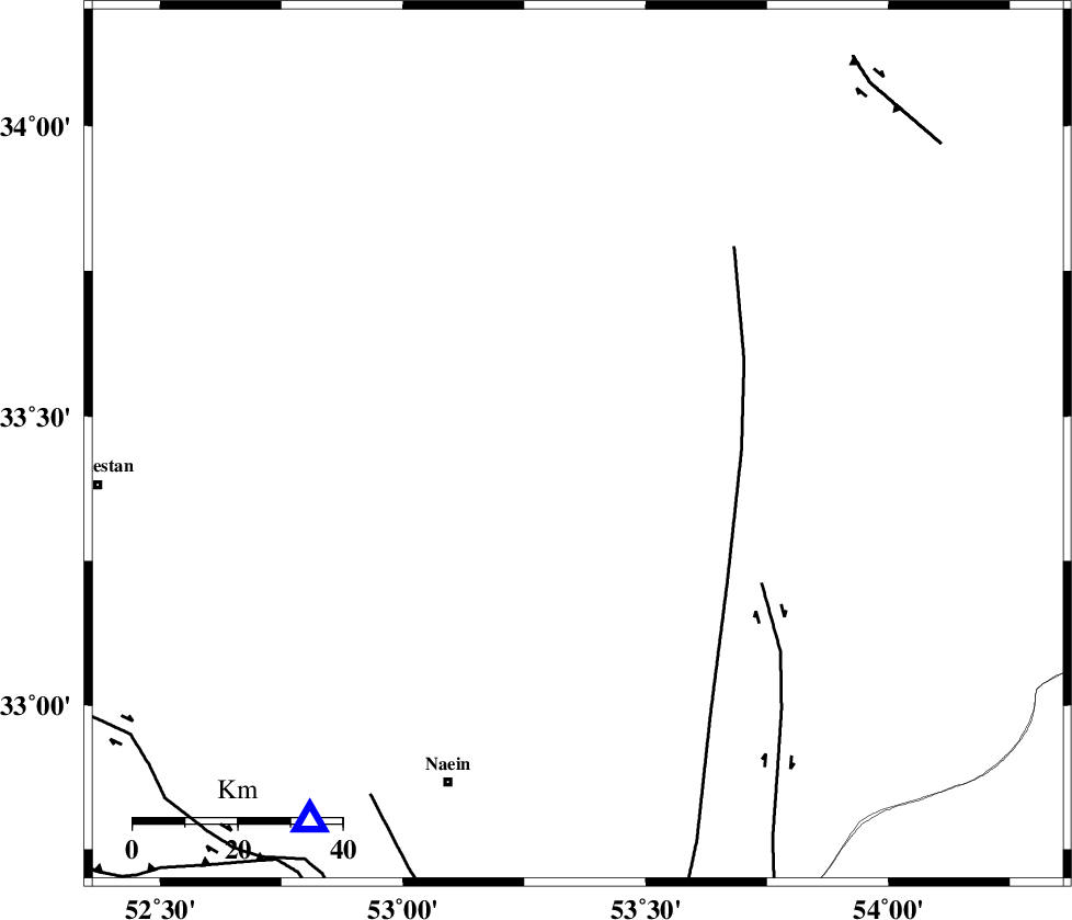
| Location | Lat:33.45 Lon: 53.36 |
| Region | Esfahan Province, 70 km North-East of Nain |
Nearest Cities |
|
| 22 km South of Maedan, Esfahan Province | |
| 35 km North West of Anarak, Esfahan Province | |
| 52 km North East of Shahrab, Esfahan Province | |
| 66 km East of Jahanabad, Esfahan Province | |
| 70 km North East of Nain, Esfahan Province | |
| Depth | 15 km |
| Agency | |
Faults within 150 km: |
|
| CHAH_ZANGUL_F (Length: 123 km) , Distance to epicenter: 42 km | |
| BIABANAK_F (Length: 162 km) , Distance to epicenter: 49 km | |
| SHAHR_E_BABAK_F1 (Length: 392 km) , Distance to epicenter: 87 km | |
| Number of Phases | 4 |
| RMS | 0 |
| Number of Stations | 3 |
| Error in Latitude | >3.8 km |
| Error in Longitude | 5.8 km |
| Error in Depth | 7.6 km |
Download waveform in seisan format
to download seisan software Click here
to access information about IIEES stations Click here
Amplitude | ||||||||
| UID | Agency | Station | Component | Amplitude | Period | Arrival Time | Proccessing Time | Signal Clip |
| 95894 | IIEES | GHVR | E | 20.6 | 0.44 | 2015-06-06 16:55:34 | 2015-06-06 06:46:00 | n |
Phase | ||||||||||||
| Agency | Station | Component | Phase Type | Phase Quality | First Motion | Observed Arrival Time | Time Residual | Loc. Flag | Input Weight | Distance | Azimuth | |
| IIEES | NASN | Z | Pg | E | 2015-06-06 16:54:45 | 0 | y | 89.1 | 216 | |||
| IIEES | YZKH | Z | Pn | E | 2015-06-06 16:54:58 | 0 | y | 165 | 135 | |||
| IIEES | GHVR | Z | Pn | E | 2015-06-06 16:55:05 | 0.02 | y | 226 | 301 | |||
| IIEES | GHVR | N | Sg | E | 2015-06-06 16:55:33 | -0.01 | y | 226 | 301 | |||