
Magnitude |
:2.7 |
| Date & Time (UTC) | 2015-06-05 18:27:01.4 |
| Date & Time (Local) | 1394/3/15 22:57:01.4 |
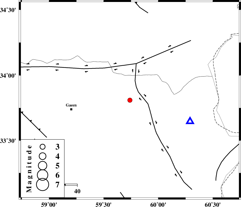
| Location | Lat:33.81 Lon: 59.74 |
| Region | 50 km East of Qaen |
Nearest Cities |
|
| 24 km North West of Abiz, Khorasan(south) Province | |
| 29 km North West of Hajiabad, Khorasan(south) Province | |
| 43 km North West of Shahdokht, Khorasan(south) Province | |
| 45 km North of Zahan, Khorasan(south) Province | |
| 47 km North East of Mahmuee, Khorasan(south) Province | |
| Depth | 14 km |
| Agency | |
Faults within 150 km: |
|
| ABRIZ_F (Length: 114 km) , Distance to epicenter: 10 km | |
| DASHT_E_BAYAZ_F (Length: 177 km) , Distance to epicenter: 32 km | |
| JANGAL_F (Length: 111 km) , Distance to epicenter: 76 km | |
| Number of Phases | 5 |
| RMS | 0.1 |
| Number of Stations | 3 |
| Error in Latitude | >5.5 km |
| Error in Longitude | 1.6 km |
| Error in Depth | 4.2 km |
Download waveform in seisan format
to download seisan software Click here
to access information about IIEES stations Click here
Amplitude | ||||||||
| UID | Agency | Station | Component | Amplitude | Period | Arrival Time | Proccessing Time | Signal Clip |
| 95887 | IIEES | SHRT | N | 552.7 | 0.24 | 2015-06-05 18:27:20 | 2015-06-05 08:36:00 | n |
| 95888 | IIEES | SHRT | E | 559.8 | 0.08 | 2015-06-05 18:27:20 | 2015-06-05 08:36:00 | n |
Phase | ||||||||||||
| Agency | Station | Component | Phase Type | Phase Quality | First Motion | Observed Arrival Time | Time Residual | Loc. Flag | Input Weight | Distance | Azimuth | |
| IIEES | SHRT | Z | Pg | E | 2015-06-05 18:27:11 | -0.15 | y | 54.5 | 109 | |||
| IIEES | SHRT | N | Sg | E | 2015-06-05 18:27:18 | 0.12 | y | 54.5 | 109 | |||
| IIEES | BSRN | Z | Pn | E | 2015-06-05 18:27:35 | -0.03 | y | 212 | 196 | |||
| IIEES | TABS | Z | Pn | E | 2015-06-05 18:27:39 | 0.11 | y | 243 | 267 | |||
| IIEES | TABS | E | Sg | E | 2015-06-05 18:28:10 | -0.05 | y | 243 | 267 | |||