
Magnitude |
:2.8 |
| Date & Time (UTC) | 2015-05-24 20:17:31.3 |
| Date & Time (Local) | 1394/3/4 00:47:31.3 |
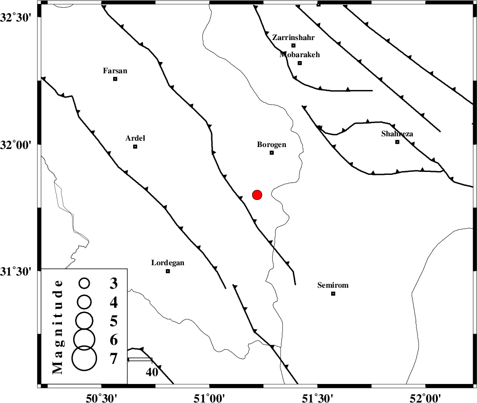
| Location | Lat:31.8 Lon: 51.22 |
| Region | Chaharmahal Bakhtiari Province, 20 km South of Borujen |
Nearest Cities |
|
| 9 km of Gandoman, Chaharmahal Bakhtiari Province | |
| 20 km South of Borujen, Chaharmahal Bakhtiari Province | |
| 22 km South East of Baladaji, Chaharmahal Bakhtiari Province | |
| 22 km South of Faradonbeh, Chaharmahal Bakhtiari Province | |
| 26 km South West of Hamgin, Esfahan Province | |
| Depth | 18 km |
| Agency | |
Faults within 150 km: |
|
| MAIN_ZAGROS_R_F (Length: 1106 km) , Distance to epicenter: 7 km | |
| DENA_F (Length: 137 km) , Distance to epicenter: 8 km | |
| DOPOLAN_F (Length: 107 km) , Distance to epicenter: 16 km | |
| Number of Phases | 8 |
| RMS | 0.1 |
| Number of Stations | 5 |
| Error in Latitude | >3.1 km |
| Error in Longitude | 2.8 km |
| Error in Depth | 5.7 km |
Download waveform in seisan format
to download seisan software Click here
to access information about IIEES stations Click here
Amplitude | ||||||||
| UID | Agency | Station | Component | Amplitude | Period | Arrival Time | Proccessing Time | Signal Clip |
| 95784 | IIEES | SHGR | N | 75.2 | 0.56 | 2015-05-24 20:18:41 | 2015-05-24 09:45:00 | n |
| 95785 | IIEES | SHGR | E | 96 | 0.72 | 2015-05-24 20:18:59 | 2015-05-24 09:45:00 | n |
| 95786 | IIEES | ASAO | N | 32.3 | 0.72 | 2015-05-24 20:19:12 | 2015-05-24 09:45:00 | n |
| 95787 | IIEES | ASAO | E | 22 | 0.68 | 2015-05-24 20:19:14 | 2015-05-24 09:45:00 | n |
Phase | ||||||||||||
| Agency | Station | Component | Phase Type | Phase Quality | First Motion | Observed Arrival Time | Time Residual | Loc. Flag | Input Weight | Distance | Azimuth | |
| IIEES | NASN | Z | Pn | E | 2015-05-24 20:18:02 | 0.04 | y | 187 | 53 | |||
| IIEES | SHGR | Z | Pn | E | 2015-05-24 20:18:07 | -0.07 | y | 231 | 279 | |||
| IIEES | SHGR | N | Sg | E | 2015-05-24 20:18:36 | 0.12 | y | 231 | 279 | |||
| IIEES | KHMZ | Z | Pn | E | 2015-05-24 20:18:09 | -0.24 | y | 245 | 332 | |||
| IIEES | GHVR | Z | Pn | E | 2015-05-24 20:18:15 | 0.07 | y | 298 | 1 | |||
| IIEES | GHVR | E | Sg | E | 2015-05-24 20:18:55 | 0.11 | y | 298 | 1 | |||
| IIEES | ASAO | Z | Pn | E | 2015-05-24 20:18:19 | 0.1 | y | 325 | 340 | |||
| IIEES | ASAO | E | Sg | E | 2015-05-24 20:19:02 | -0.11 | y | 325 | 340 | |||