
Magnitude |
:3.5 |
| Date & Time (UTC) | 2015-02-26 15:04:13.9 |
| Date & Time (Local) | 1393/12/7 18:34:13.9 |
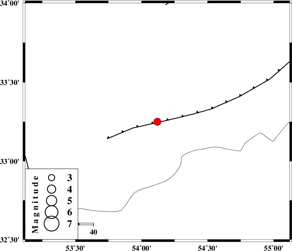
| Location | Lat:33.25 Lon: 54.12 |
| Region | Esfahan Province, 104 km North of Ardakan |
Nearest Cities |
|
| 40 km East of Anarak, Esfahan Province | |
| 47 km South West of Chupanan, Esfahan Province | |
| 74 km North West of Zarrin, Yazd Province | |
| 76 km North West of Hajiabad, Yazd Province | |
| 83 km North West of Tut, Yazd Province | |
| Depth | 14 km |
| Agency | |
Faults within 150 km: |
|
| BIABANAK_F (Length: 162 km) , Distance to epicenter: 6 km | |
| DORUNEH_F (Length: 713 km) , Distance to epicenter: 82 km | |
| CHAH_ZANGUL_F (Length: 123 km) , Distance to epicenter: 96 km | |
| Number of Phases | 6 |
| RMS | 0.1 |
| Number of Stations | 6 |
| Error in Latitude | >5.4 km |
| Error in Longitude | 2.4 km |
| Error in Depth | 9.7 km |
Download waveform in seisan format
to download seisan software Click here
to access information about IIEES stations Click here
Amplitude | ||||||||
| UID | Agency | Station | Component | Amplitude | Period | Arrival Time | Proccessing Time | Signal Clip |
| 95107 | IIEES | GHVR | E | 181.4 | 0.6 | 2015-02-26 15:05:49 | 2015-02-26 03:30:00 | n |
Phase | ||||||||||||
| Agency | Station | Component | Phase Type | Phase Quality | First Motion | Observed Arrival Time | Time Residual | Loc. Flag | Input Weight | Distance | Azimuth | |
| IIEES | YZKH | Z | Pg | E | 2015-02-26 15:04:31 | 0.11 | y | 105 | 155 | |||
| IIEES | NASN | Z | Pg | E | 2015-02-26 15:04:36 | -0.08 | y | 132 | 248 | |||
| IIEES | NASN | E | Sg | E | 2015-02-26 15:04:52 | -0.03 | y | 132 | 248 | |||
| IIEES | DAMV | Z | Pn | E | 2015-02-26 15:05:02 | -0.05 | y | 330 | 324 | |||
| IIEES | ASAO | Z | Pn | E | 2015-02-26 15:05:12 | 0.21 | y | 405 | 292 | |||
| IIEES | BSRN | Z | Pn | E | 2015-02-26 15:05:22 | -0.17 | y | 491 | 105 | |||