
Magnitude |
:1.6 |
| Date & Time (UTC) | 2014-12-30 08:49:40.6 |
| Date & Time (Local) | 1393/10/9 12:19:40.6 |
| Location | Lat:35.48 Lon: 50.57 |
| Region | Markazi Province, 50 km South of Nazarabad-E-Bozorg |
Nearest Cities |
|
| 11 km North of Zaviyeh, Markazi Province | |
| 16 km North of Hakimabad, Markazi Province | |
| 17 km North West of Rahimabad, Markazi Province | |
| 21 km North of Memunieh, Markazi Province | |
| 23 km North East of Khoshkrud, Markazi Province | |
| Depth | 14 km |
| Agency | |
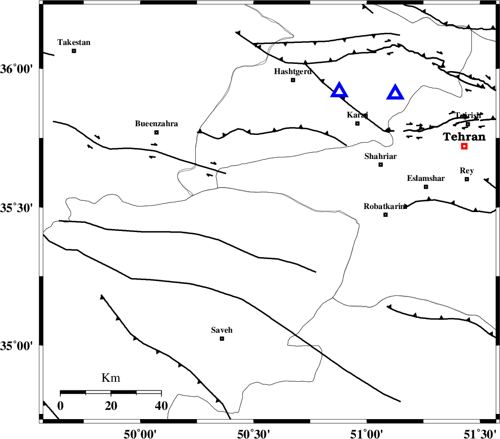
Faults within 150 km: |
|
| S_PARANDAK_F (Length: 116 km) , Distance to epicenter: 18 km | |
| IPAK_F (Length: 80 km) , Distance to epicenter: 23 km | |
| ESHTEHARD_F (Length: 69 km) , Distance to epicenter: 32 km | |
| Number of Phases | 6 |
| RMS | 0.3 |
| Number of Stations | 4 |
| Error in Latitude | >2.9 km |
| Error in Longitude | 4.2 km |
| Error in Depth | 9.2 km |
Download waveform in seisan format
to download seisan software Click here
to access information about IIEES stations Click here
Amplitude | ||||||||
| UID | Agency | Station | Component | Amplitude | Period | Arrival Time | Proccessing Time | Signal Clip |
| 94638 | IIEES | GHVR | N | 13.3 | 0.47 | 2014-12-30 08:50:15 | 2014-12-30 09:36:00 | n |
Phase | ||||||||||||
| Agency | Station | Component | Phase Type | Phase Quality | First Motion | Observed Arrival Time | Time Residual | Loc. Flag | Input Weight | Distance | Azimuth | |
| IIEES | ASAO | Z | Pg | E | 2014-12-30 08:49:59 | -0.1 | y | 114 | 206 | |||
| IIEES | ASAO | E | Sg | E | 2014-12-30 08:50:14 | 0.26 | y | 114 | 206 | |||
| IIEES | GHVR | Z | Pg | E | 2014-12-30 08:50:01 | -0.32 | y | 127 | 151 | |||
| IIEES | DAMV | Z | Pn | E | 2014-12-30 08:50:04 | 0.38 | y | 129 | 82 | |||
| IIEES | ZNJK | Z | Pn | E | 2014-12-30 08:50:14 | -0.38 | y | 215 | 309 | |||
| IIEES | ZNJK | E | Sg | E | 2014-12-30 08:50:41 | 0.16 | y | 215 | 309 | |||