
Magnitude |
:2.9 |
| Date & Time (UTC) | 2014-12-29 22:40:29.2 |
| Date & Time (Local) | 1393/10/9 02:10:29.2 |
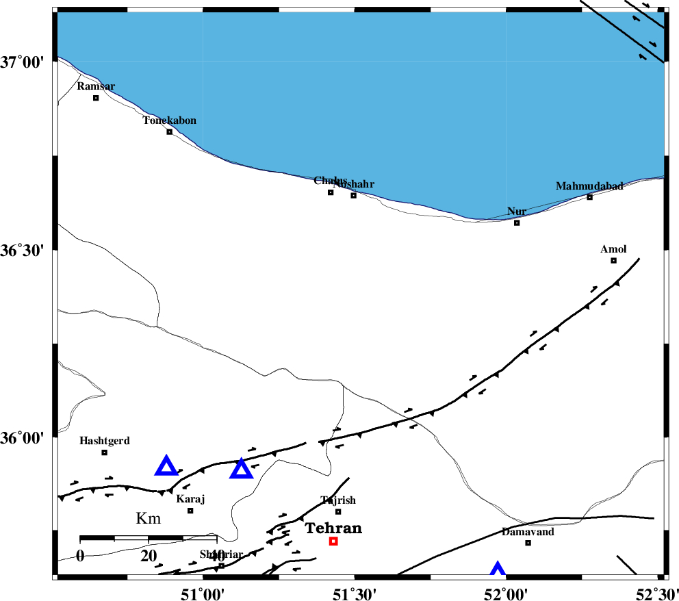
| Location | Lat:36.38 Lon: 51.52 |
| Region | Mazandaran Province, 30 km South of Nowshahr |
Nearest Cities |
|
| 7 km of Pul, Mazandaran Province | |
| 17 km North of Void, Mazandaran Province | |
| 18 km West of Kujur, Mazandaran Province | |
| 23 km East of Tavir, Mazandaran Province | |
| 24 km East of Marzanabad, Mazandaran Province | |
| Depth | 9 km |
| Agency | |
Faults within 150 km: |
|
| KOJOOR (Length: 75 km) , Distance to epicenter: 9 km | |
| N_ALBORZ_F (Length: 360 km) , Distance to epicenter: 14 km | |
| KHAZAR_F (Length: 523 km) , Distance to epicenter: 24 km | |
| Number of Phases | 6 |
| RMS | 0.1 |
| Number of Stations | 6 |
| Error in Latitude | >5.1 km |
| Error in Longitude | 4.1 km |
| Error in Depth | 3.9 km |
Download waveform in seisan format
to download seisan software Click here
to access information about IIEES stations Click here
Amplitude | ||||||||
| UID | Agency | Station | Component | Amplitude | Period | Arrival Time | Proccessing Time | Signal Clip |
| 94625 | IIEES | THKV | N | 508.6 | 0.44 | 2014-12-29 22:40:54 | 2014-12-29 11:04:00 | n |
Phase | ||||||||||||
| Agency | Station | Component | Phase Type | Phase Quality | First Motion | Observed Arrival Time | Time Residual | Loc. Flag | Input Weight | Distance | Azimuth | |
| IIEES | CHTH | Z | Pg | E | 2014-12-29 22:40:40 | 0.03 | y | 62.7 | 214 | |||
| IIEES | THKV | Z | Pg | E | 2014-12-29 22:40:42 | -0.08 | y | 76.8 | 228 | |||
| IIEES | DAMV | Z | Pg | E | 2014-12-29 22:40:45 | 0.05 | y | 92.5 | 154 | |||
| IIEES | GHVR | Z | Pn | E | 2014-12-29 22:41:03 | -0.23 | y | 212 | 187 | |||
| IIEES | ASAO | Z | Pn | E | 2014-12-29 22:41:08 | 0.24 | y | 244 | 214 | |||
| IIEES | ZNJK | Z | Pn | E | 2014-12-29 22:41:09 | -0.02 | y | 256 | 278 | |||