
Magnitude |
:2.4 |
| Date & Time (UTC) | 2014-12-15 20:18:10.5 |
| Date & Time (Local) | 1393/9/24 23:48:10.5 |
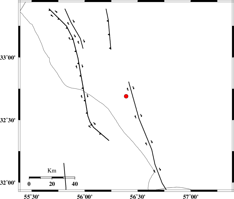
| Location | Lat:32.69 Lon: 56.39 |
| Region | Yazd Province, 113 km South-West of Tabas |
Nearest Cities |
|
| 86 km South East of Robat-e posht-e badam, Yazd Province | |
| 97 km North East of Behabad, Yazd Province | |
| 98 km South West of Kerit, Yazd Province | |
| 108 km South West of Oshtoqran, Yazd Province | |
| 110 km North East of Benestan, Yazd Province | |
| Depth | 14 km |
| Agency | |
Faults within 150 km: |
|
| CHESHMEH_ROSTAM_ (Length: 142 km) , Distance to epicenter: 17 km | |
| NAINI_F (Length: 342 km) , Distance to epicenter: 39 km | |
| SARBALA_F (Length: 92 km) , Distance to epicenter: 61 km | |
| Number of Phases | 5 |
| RMS | 0.2 |
| Number of Stations | 3 |
| Error in Latitude | >3.2 km |
| Error in Longitude | 1.5 km |
| Error in Depth | 6.4 km |
Download waveform in seisan format
to download seisan software Click here
to access information about IIEES stations Click here
Amplitude | ||||||||
| UID | Agency | Station | Component | Amplitude | Period | Arrival Time | Proccessing Time | Signal Clip |
| 94526 | IIEES | YZKH | E | 50.8 | 0.44 | 2014-12-15 20:19:01 | 2014-12-15 08:42:00 | n |
Phase | ||||||||||||
| Agency | Station | Component | Phase Type | Phase Quality | First Motion | Observed Arrival Time | Time Residual | Loc. Flag | Input Weight | Distance | Azimuth | |
| IIEES | TABS | Z | Pg | E | 2014-12-15 20:18:31 | -0.06 | y | 126 | 33 | |||
| IIEES | YZKH | Z | Pg | E | 2014-12-15 20:18:39 | -0.01 | y | 172 | 259 | |||
| IIEES | YZKH | N | Sg | E | 2014-12-15 20:18:59 | -0.06 | y | 172 | 259 | |||
| IIEES | BSRN | Z | Pn | E | 2014-12-15 20:18:52 | 0.33 | y | 270 | 107 | |||
| IIEES | BSRN | N | Sg | E | 2014-12-15 20:19:26 | -0.2 | y | 270 | 107 | |||